Tackling the Joe Brown Navigation Challenge in the Peak District

If you can’t be bothered to read the following, I actually did a YouTube video (link below). I’ve also attached a document at the bottom of this blog, with clues for all the locations. Grab a brew though, as its a long one.

YouTube video link

The Joe Brown Navigation Challenge is a test of endurance, skill, and precision, and I recently had the pleasure (and pain) of taking it on in the stunning Peak District. For those unfamiliar, this isn’t your average map-and-compass day out. It’s a demanding orienteering challenge that celebrates the legacy of legendary climber and mountaineer Joe Brown, pushing participants to their limits in one of the UK’s most beautiful national parks.

What Makes This Challenge Unique?

The Joe Brown Navigation Challenge is designed to test more than just your ability to follow a map. It combines physical endurance with intricate navigation, and difficult to find numbers, making you work for every checkpoint. While the details of the checkpoints and numbers are under wraps, let’s just say it’s no walk in the park.

Each leg of the challenge takes you through varied terrain, from steep ascents and rocky ridges to open moorland where paths are scarce, and your compass becomes your best friend. The unpredictability of the Peak District’s weather only adds to the excitement—and the difficulty.

The Start Line: Optimism and Preparation

I’ve always enjoyed testing my navigation skills, so I approached the challenge with a mix of excitement and nervous energy. My gear was carefully selected: waterproof layers (a must in January), an extra layer, a reliable compass, my trusted OS map app, and plenty of snacks, with my little stove an an unlimited supply of coffee sachets, to keep my energy up.

Joe Brown CBE, OBE was also known as the ‘Human Fly’, and whilst he worked as an instructor at an outdoor education centre just outside Buxton, he carved a series of 20 numbers into rocks around a stunning 17 mile circuit. With the numbers roughly 60 years old, some of them are difficult to find or are gone completely. The numbers are either a 6 figure grid reference or 2 sets of numbers, the first being a compass bearing, and the second being the distance to the next location. There is scarce information available on the internet to help you with this challenge. I found a list of vague clues, and a route on a map from a previous challenger, so armed with these snippets of information and some over confidence I set off.

Day 1

The first checkpoint at the rear of the White Hall Outdoor Education Centre went smoothly, and I found myself slipping into a rhythm, the crisp winter air sharpening my focus. At checkpoint 2 the numbers were found fairly quickly, however at least 3 of the numbers were weathered giving me a few options for the next checkpoint location. Instead of having a good think about the various options, I marched on convinced that my first possible location was going to be correct first time. After an hours walk the challenge quickly lived up to its reputation, and I found myself in the middle of some moorland. It was clear to everyone in the world but me, that I was in the wrong location. Some time later I realised my mistake and then marched an hour back to a location I had walked past an hour earlier. In addition to this adding a couple of up and down miles onto my journey, this was a massive learning curve, and a stark reminder to check the options on the map before you set off onto the next checkpoint.

Eventually, some 2 hours after finding the numbers at checkpoint 2 I found the numbers at checkpoint 3. Luckily for me, these numbers were quite clear, with no obvious weathering, and with quite a detailed clue for the next location I made my way back down hill again. I arrived at Checkpoint 4 and from the clue I was clearly in the correct location, I was joined by 3 walkers who knew about Joe Brown and even helped me look for the numbers for a few minutes. After about an hour of searching this was my first DNF (Did Not Find) of the day, and likely not to be my last.

Without the next set of numbers, I was doubting that I could continue, but I had a map downloaded from the internet that a previous challenger had uploaded, and some vague clues for the rest of the checkpoints. So undeterred I soldiered on but I was unable to find Checkpoints 5.

From the list of clues I knew exactly where Checkpoint 6 was, so I continued on to that location for a quick easy find. at Checkpoint 6. There were 2 sets of numbers here, so I put some numbers onto my compass and set off on a bearing for a relatively short distance for another quick easy find at Checkpoint 7. The numbers at 7 indicated that the next Checkpoint was over a km away, and there was only about an hour of daylight left, with my van still some distance away. Reluctantly I headed back to the van, knowing that I would be returning the following day.

Day 2

A later start than I had wanted, and as I set off along a disused railway the thick mist rolled in, reducing visibility and making it nearly impossible to rely on distant landmarks. Some 30 minutes later I arrived at Checkpoint 8 where it took me about 10 minutes to find the numbers, and with a huge sigh of relief I was on my way again to the next obvious location.

A bit of a trudge uphill to Checkpoint 9, where I spent about an hour looking for the numbers in the frozen terrain, but it was another DNF. Reluctantly I continued on, convinced that I knew the location of the next Checkpoint. A pleasant walk over the misty, frozen moors and dropped down into a more sheltered valley and I eventually arrived at Checkpoint 10.

I was convinced I was at the correct location, but for the life in me, I couldn’t find the numbers (I think they’re still there). I stopped here for a brew and to have a rethink about the challenge. A passing walker stopped to talk, and he had seen the Joe Brown challenge, he had always wanted to have a go, but just couldn’t figure out where to start. After he had gone, I had another quick look around to no gain, then reluctantly headed off down the valley feeling a bit dejected..

Halfway down the valley, I saw something in the bottom of the valley that matched the next clue on the list. I walked down to it, on the off chance that I might find something, and there they were, 6 beautiful numbers at Checkpoint 11, starring right back at me. Felling quite smug with myself, I plotted the numbers into the phone and continued onwards, feeling very chuffed with myself.

At the next checkpoint 12, I found something that resembled the clue and convinced myself that the numbers had been eroded, so I didn’t spend much time here. I trudged on to checkpoint 13 convinced that this would be an easy one. The clue here was an obvious one, but searching around the grounds of an old abandoned mansion house I couldn’t find anything that matched the clue. At this point I was totally demoralised so headed off back to the van, knowing full well that I would have to return for a third time, and at this rate, it might even require more visits.

Day 3

Another late start, but this time I had an excuse, as I had to attend Holme Valley Mountain Rescue Headquarters to collect my Coronation Medal, for 10 years in Emergency Services.

Overnight I had done some more internet research and remarkably, using my phone web browser, rather than my laptop, I obtained a lot more information. Armed with more information, I returned to Checkpoint 13 for a quick easy find in the first place I looked.

So back on track, I marched onwards to Checkpoint 14, I initially walked past the location, but quickly realised my mistake, went back and another quick find at a lovely little location. This was a first, 2 quick finds in a row. The next checkpoint 15, was some distance away, so with my new information I made a slight detour and revisited Checkpoint 4. This was another quick find, and I was kicking myself for not having found it 2 days earlier.

A bit of a walk to Checkpoint 15 and it was a quick find, and I expected to get wet feet reading the numbers, however my summer boots held up admirably. Another set of numbers and I was on my way again. This time up hill, and about half an hour later I arrived at Checkpoint 16.

Took a couple of minutes to find this one, but even though I was on a roll I was still relieved to finally see the numbers. I plotted the numbers onto the maps and surprise, surprise it was another up and down to the next location which was in the next valley. At the top of the next hill, I stopped for something to eat and to enjoy the views now that the fog had lifted. I didn’t hang around too long though, as I knew I still had plenty of work to do, and it was bitterly cold.

I eventually arrived at Checkpoint 17, the information I had was that the numbers were on one side of the feature at that location. After about 10 minutes of searching, I turned around and there they were on the other side of the feature. I was a little bit annoyed about the duff info, as I was running out of daylight and knew that I would be finishing the walk in the dark.

Unsurprisingly, Checkpoint 18 was at the top of a steep climb, and after a slow and steady long slog up the hill I arrived at the location for an instant find.

I plotted the grid reference for Checkpoint 19 onto my phone and this was another short steep climb up onto one of the famous Peak District edges. Once up onto the tops, i absolutely loved this section, enjoying the sounds of the Red Grouse, and enjoying the views. Took a while to pick my way along the edge avoiding the peat bogs and eventually I arrived at Checkpoint 19. A stunning location, but I needed my head torch to find the numbers. As it was getting dark I kept the head torch on and dropped down to the final location.

Even though the final location Checkpoint 20 was on open access land, there had been a big fence erected recently which proved difficult to find somewhere to cross over it. I was even shouted at by a farmer down in the valley, but knowing that I was on open access area I continued undeterred. At the final location, it was clear that the clue feature had collapsed and that the final set of numbers were lost forever. I felt a tad sad here that such a unique challenge would end with a DNF.

I trudged back uphill heading back to the Outdoor Education Centre, and finally arrived in the dark. Crossing the finish line was a mix of relief and pride. While I didn’t achieve a record-breaking time, the real victory was in completing the challenge and pushing myself to the limit. It’s experiences like this that remind me why I love navigation and the great outdoors. It was then a couple of miles back to the van, but I didn’t care, as there is something special about walking in the dark.

The terrain was unforgiving in places. Boggy ground sapped my energy, and navigating steep descents required careful foot placement to avoid a nasty fall. But those moments of struggle were balanced by the incredible views that the Peak District is known for. Even in the mist, there were flashes of beauty—heather-clad hills, icy streams, and the occasional glimpse of a sunlit valley breaking through the clouds.

Every challenge offers opportunities to learn, and this one was no exception. Here are a few takeaways from my attempt:

  1. Preparation is everything. From studying the map to packing the right gear, the work you do before you set off can make or break your experience. Take a paper map, there were times when I had no signal, so my OS maps app wouldn’t open.

  2. Adaptability is key. The Peak District’s weather is notoriously unpredictable. Being able to adapt your plan on the fly is crucial.

  3. Stay focused. It’s easy to let your mind wander, especially when fatigue sets in, but attention to detail is critical in a challenge like this.

  4. Enjoy the journey. While the challenge is demanding, it’s also an opportunity to immerse yourself in some of the UK’s most stunning landscapes. Don’t forget to take it all in.

Final Thoughts

The Joe Brown Navigation Challenge was every bit as tough as I’d imagined, but it was also incredibly rewarding. It’s a celebration of navigation, endurance, and the rugged beauty of the Peak District. Whether you’re a seasoned navigator or someone looking to test your skills, I can’t recommend it enough.

For now, I’m hanging up my boots (temporarily) and reflecting on the experience—but I’m already looking forward to the next challenge, once I’ve returned to find the few numbers that I had missed. Have you ever taken on the Joe Brown Navigation Challenge or a similar test of your outdoor skills? I’d love to hear about your experiences!

If you fancy having a go, here’s a list of the locations and some clues that I didn’t have until the start of day 3. Some of the original clues were incorrect, the below list is correct at the time of writing.


Scrabble Scramble

In the realm of wordplay and linguistic prowess, Scrabble stands as a timeless classic that has brought joy to many for decades. Yesterday, Holme Valley Mountain Rescue Team played host to a riveting Scrabble Scramble event that tested the teams navigation, comms and vocabulary skills. The air was charged with excitement as the team geared up for a battle of navigational and vocabulary wits. Let's delve into the highlights of the day.

The overall aims of the day, were to practice Navigation and Radio Communication Skills (Comms) and develop teamwork, with a bit of fun thrown in for good measure. The day started splitting those present into 5 teams. Then followed a quick knowledge test on OS map symbols. This was basically an ice breaker to get the teams to start working together and to get some points on the board towards the overall score for the day.

Scramble

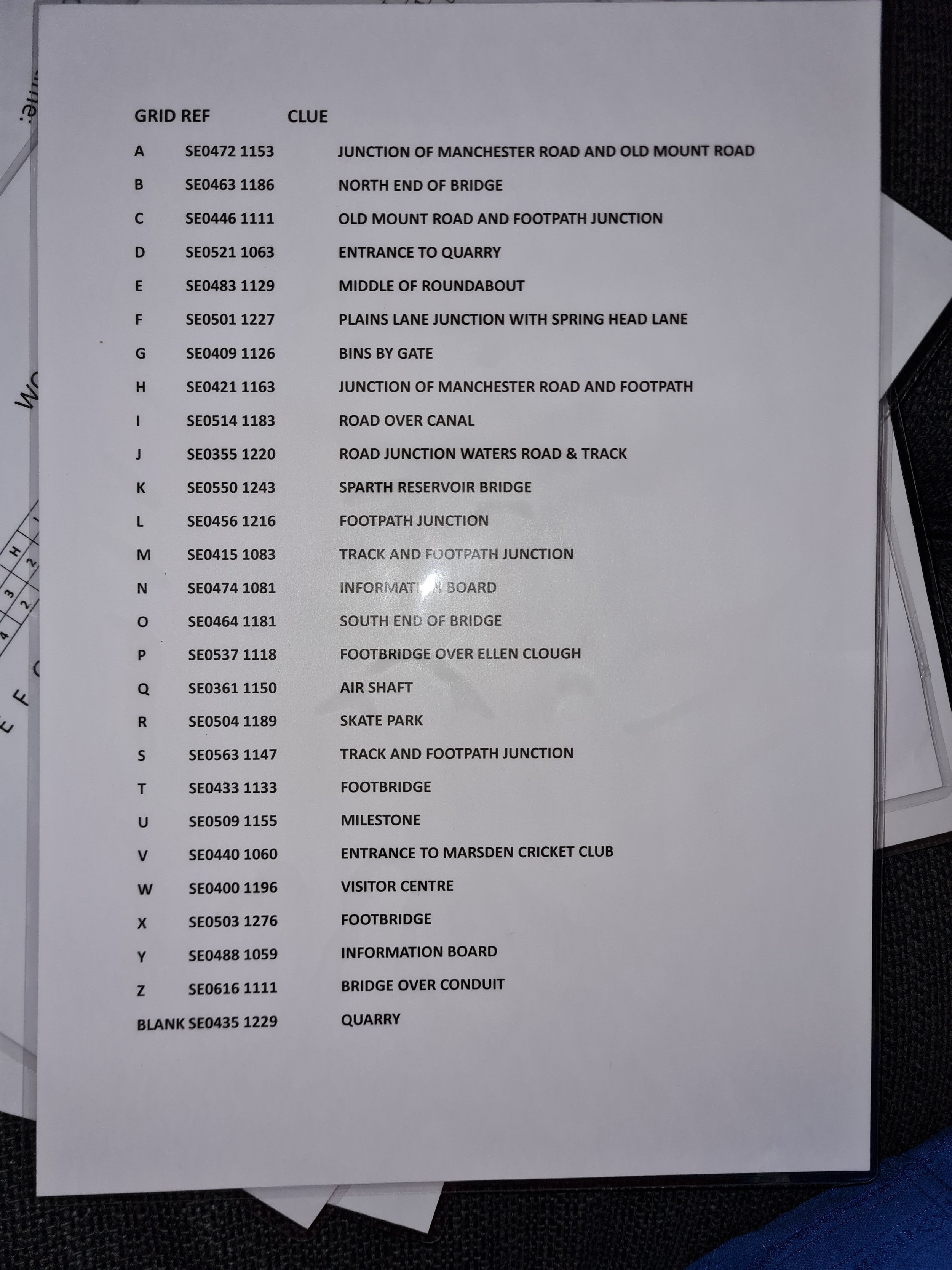
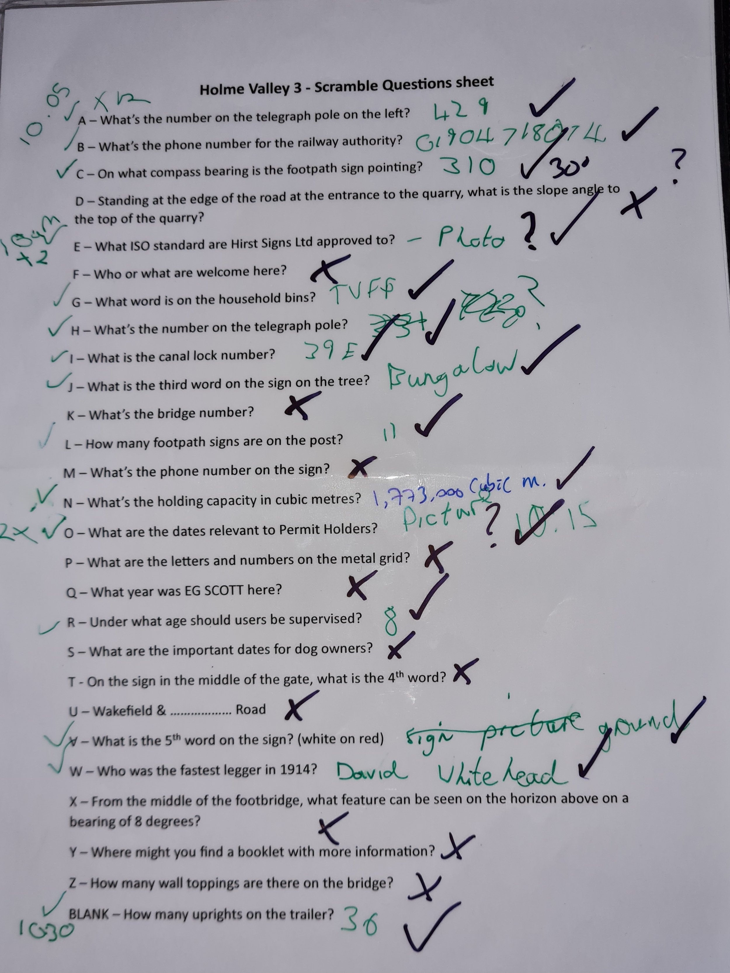
After the quiz, the teams were then briefed on the main exercise of the day, ‘The Scramble’. I had spend a few days planning this, but basically there were 27 checkpoints around the area with each checkpoint representing a Scrabble tile (A - Z & Blank). The high scoring X, Q and Z were further away from base and harder to navigate to, with the low scoring vowels closer to base and easier to find. The teams were given 8 figure grid references, checkpoint clues, info cards, and a list of questions to answer at each of the 27 checkpoints. They then had 4 hours to plot the checkpoints onto their maps, plan a route, discuss their tactics and visit as many of the checkpoints as possible. At each checkpoint was a generic question for them to answer, i.e. ‘What is the number on the lamp post?’ and on returning back to base they swapped correct answers for Scrabble tiles relevant to the checkpoints.

Scramble Rules

Obviously there’s going to be lots of rules, but the simple ones were:-

  • They had to stick together as a team.

  • No vehicles to be used.

  • No running allowed.

  • They had to visit at least 10 locations.

  • Full normal rucksacks (just in case we were deployed on a callout, or if they came across an incident).

  • Had to visit checkpoints A, E, I & O at least once.

  • Use maps and compasses only (but I’m sure that some phones came out)

  • After midday, they could revisit checkpoints where there are more than 5 Scrabble tiles

  • All teams had to be back at base for 14.00hrs (Points would be deducted from their score for every minute that they were late)

  • Once all the possible tiles had gone from a location, then control would broadcast to all callsigns that the checkpoint was closed (i.e there is only 1 letter X in a Scrabble set, so once a team has visited checkpoint Xray, then that checkpoint is closed, so it payed to monitor the radio, which one team found out the hard way)

This was also an exercise to practice our comms skills, and although this started a bit sketchy, by the end of the day, the comms was super slick. We also had a couple of team members out in one of the team vehicles to act as spotters, to make sure everyone was abiding by the rules, and to act as a safety vehicle in case anybody needed to drop out.

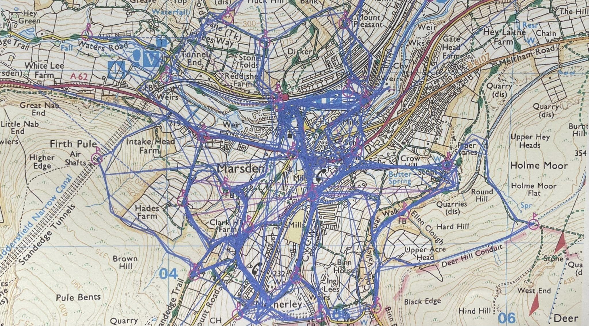
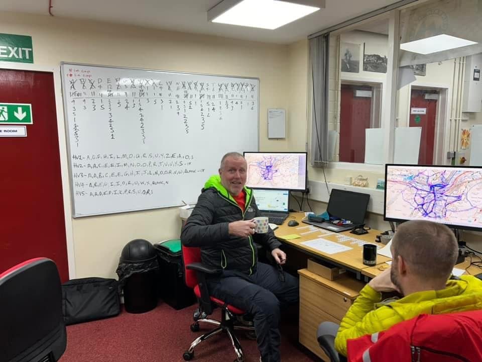
On arrival back at base the teams then swapped correct answers for the relevant checkpoint Scrabble tiles. One team (Holme Valley 1) had started with checkpoint Uniform, then headed out on a limb to Checkpoint Quebec, then another cross country march to Checkpoint Zulu, collecting as many letters as possible in between the key checkpoints. It was certainly interesting sitting in control to see the various team tactics. Plus we were able to monitor their radio GPS locations on the mapping screen to ensure that the teams were sticking together.

Scrabble rules

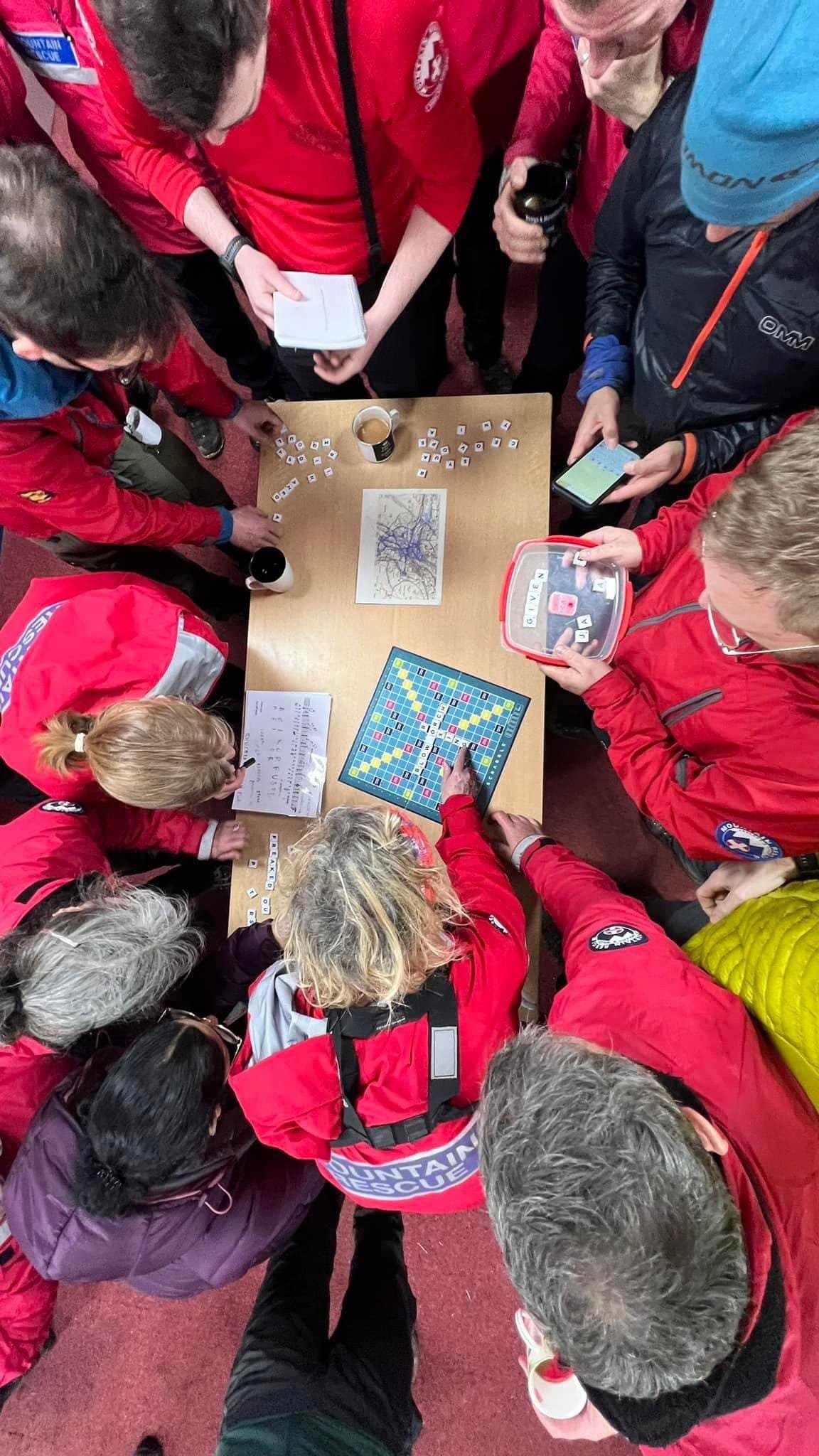
  • The team that had visited the most checkpoints started the Scrabble game first, then rotated around the table clockwise. On this occasion it was Holme Valley 3 (HV3) that had visited 18 locations and got 18 tiles, and they started first, with HV4, HV5, HV1 and HV2 following in that order.

  • Tiles had to laid out in front of each team, so that all the other teams could see what letters each team had, a completely different rule to normal Scrabble and one that certainly changed the Scrabble games’ tactics.

  • Each team had 2 minutes to get their word onto the board.

  • A team could challenge another teams played word, and if the word was incorrect (i.e. not in the Official Scrabble Wordbook or Collins dictionary) then they could steal a tile of their choice from the playing team, however if the word was correct then the playing team were able to steal a tile of choice from the challenging team.

  • Once a team has got rid of all their tiles, the other teams got one more go each.

  • Points were deducted, to the value of any tiles that were left that the team hadn’t managed to play.

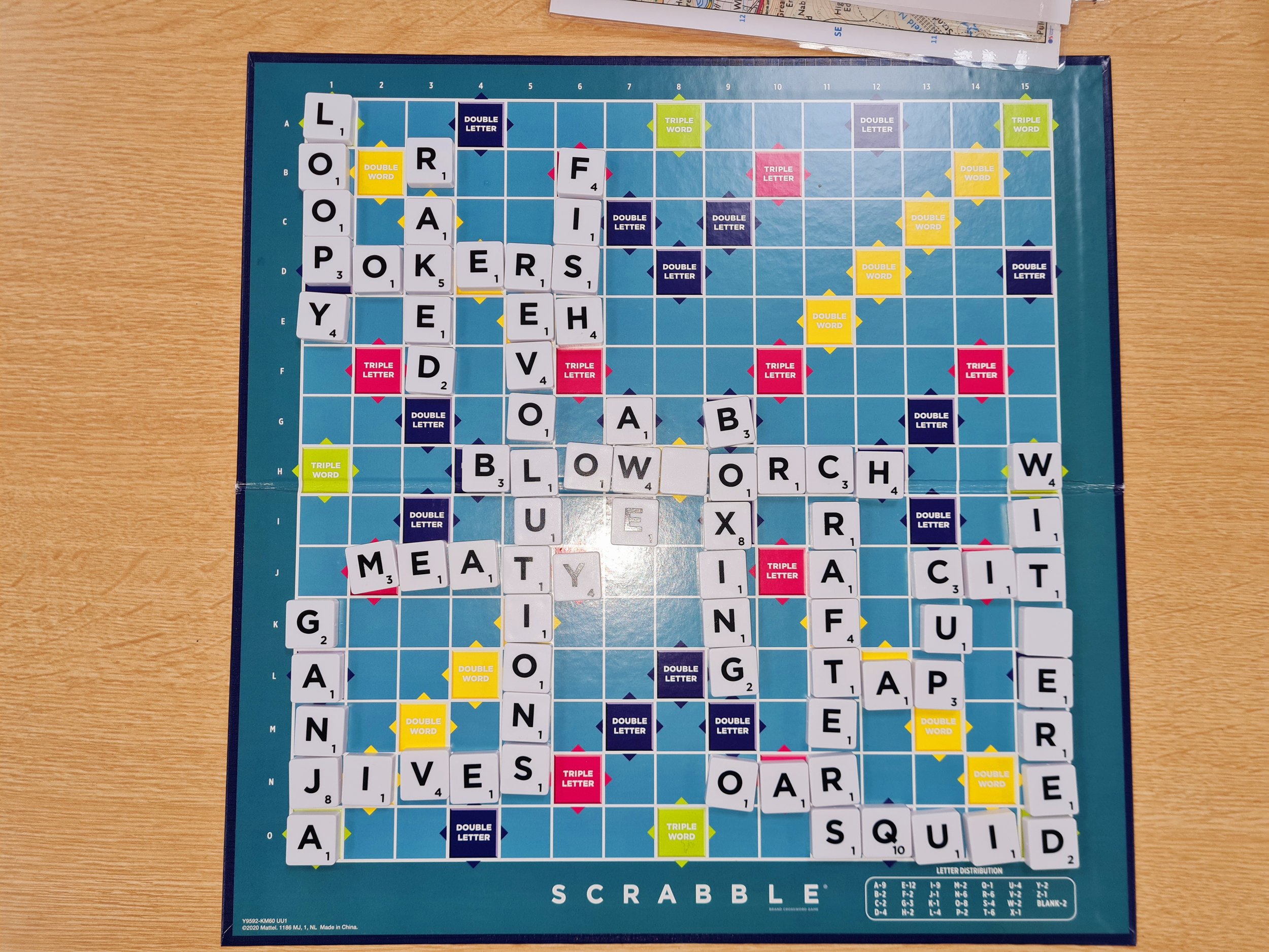
What followed was an intense half an hour of focused faces, and one or two choice words when another team covered a triple word they had been eyeing up. There were some excellent words placed on the board, with HV3 managing to use their letter Q with the word SQUID, and get it placed on a triple word square as well. Also a bit surprised to see the word GANJA being laid down, and the longest word of the the day was REVOLUTIONS

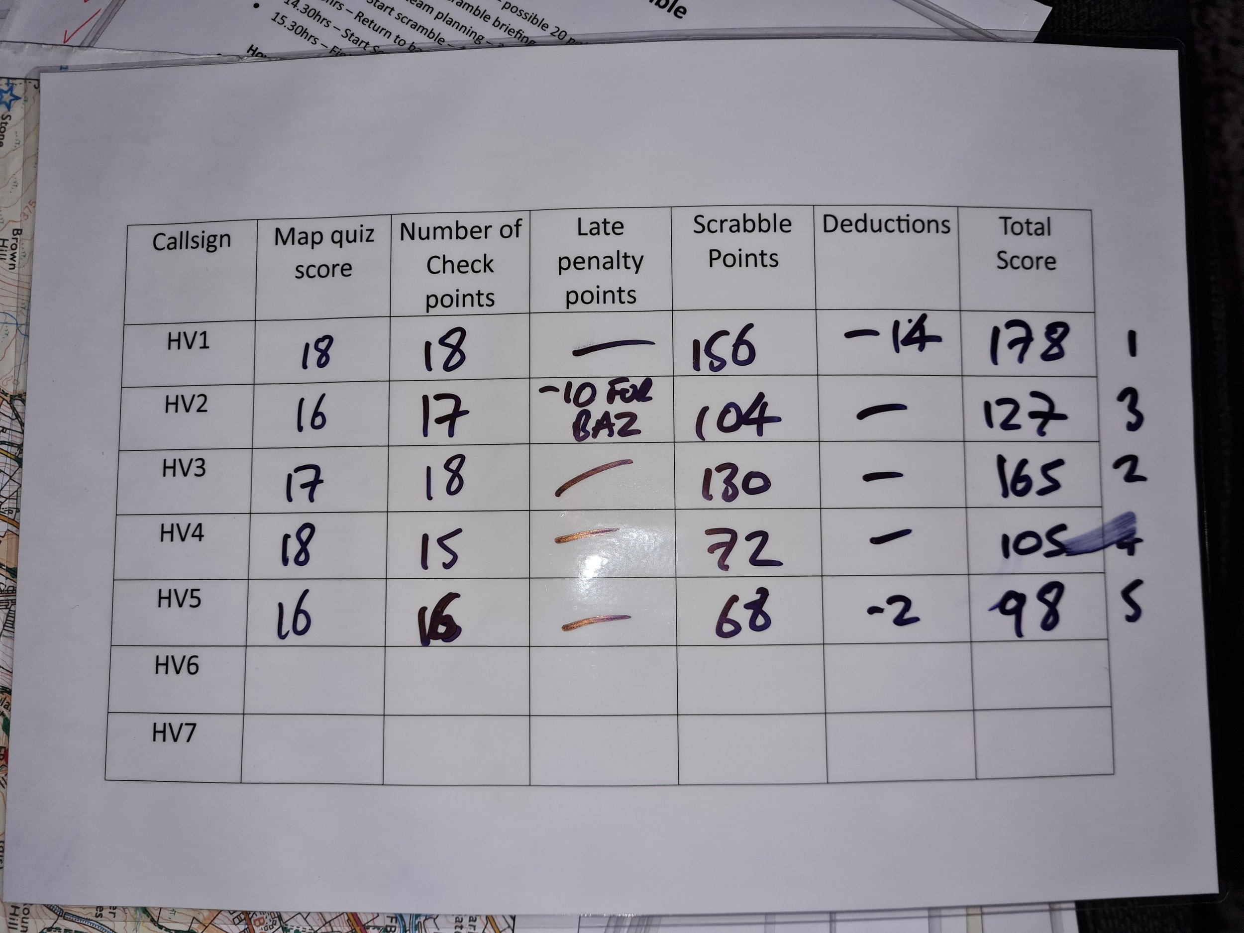
Overall an excellent day out enjoyed by everyone, with plenty of navigation, route planning and comms skills tested, and some great examples of teamwork. There was of course some friendly rivalry between teams, with one team grassing another team up for someone lightening his rucksack before they set off. That team were of course deducted 10 points. The winning team was HV 1 with an impressive score of 178 points, second place was HV3 with 165 points, third place was HV2 with 127 points, fourth place was HV4 with 105 points, and last but not least was HV5 with 98 points. Of course an event such as this can be planned to the end of the earth, but it is also down to the people involved on the day to make it a success. Luckily for me the team responded to this new training format very well indeed, and it is down to their enthusiasm, adaptability, and personalities that made it a success, and for that, I sincerely thank them all. It’s looking like this could be an annual event.

I received some excellent feedback from a few team members, with words like ‘Phenomenal’, ‘Absolutely Fabulous’, and ‘Best training day in years’. This feedback can be found on the Boot Routes testimonials page. So, if you’re planning a team event, or looking for something similar for a charity event, please feel free to copy the format, or get in touch if you need us to plan and prepare one for you. Thanks for reading.

Free educational Resources for All

In an era dominated by urban landscapes and bustling city life, the charm of the countryside often takes a back seat in our collective consciousness. However, the Countryside Regeneration Trust (CRT) is on a mission to change that narrative. Through their commitment to preserving and revitalizing rural spaces, the CRT offers a valuable resource in the form of free educational videos. These videos not only showcase the beauty of the countryside but also provide insights into sustainable practices and community-driven initiatives.

The Countryside Regeneration Trust's free video resources are a beacon of inspiration for those seeking to reconnect with the rural landscape and contribute to its sustainable future. From breath taking visuals of the countryside to practical insights into sustainable living, these videos offer a holistic perspective on countryside regeneration. By making this knowledge freely available, CRT is not only preserving the charm of the countryside but also empowering individuals and communities to actively participate in its revitalization. Take a virtual stroll through the CRT's video collection and embark on a journey to rediscover the beauty and potential of the countryside.

These monthly free online videos are brilliant and a must for anyone with an interest in wildlife and conservation, and could also be helpful to anyone leading groups in the great outdoors. So far I’ve watched 2 now, Introduction to Wildlife Photography and Exploring the UK’s Native Reptiles. The videos are presented by guest speakers who are experts in their fields, I’ve found them to be extremely educational and inspiring, and I’m already booked onto the next two videos. Book now to secure your place, and I don’t think you’ll be disappointed.

The next videos in this series are:-

6th March at 7.00 pm - Wildflower meadows - restoring biodiversity

3rd April at 7.00 pm - The wonderful world of the Hazel Dormice


Another excellent provider for free online educational resources is Woodland Classroom who are giving away free a Kickstart your Tree ID skills, which will keep you busy for an evening or two. Sign up for this free mini course and you'll be identifying common trees with video tutorials and photo galleries at your fingertips. Start your journey to becoming a fully fledged Tree Expert today. The course includes Tree ID Cheat Sheets which you can download and take outdoors with you.

This course is one you can download and do in your own time Kickstart Your Tree ID Skills | Woodland Classroom (teachable.com)


Having already used the above 2 mentioned providers (CRT and Woodland Classroom) I am in a position, where I can highly recommend these two providers. However there are dozens of other providers for free online conservation and wildlife courses which can offer a range of benefits, but like any educational resource, they also come with potential drawbacks. Here's a look at the pros and cons:

Pros:

  1. Accessibility: One of the primary advantages of free online courses is their accessibility. They break down geographical and financial barriers, allowing individuals from around the world to access quality education in conservation and wildlife topics.

  2. Cost-Free Learning: As the name suggests, free online courses eliminate the financial burden associated with traditional education. This allows learners to acquire valuable knowledge without incurring tuition fees, making education more inclusive.

  3. Flexible Schedule: Online courses often provide flexibility in terms of when and where you can study. This flexibility is especially beneficial for individuals with busy schedules, enabling them to balance learning with other commitments.

  4. Diverse Course Offerings: Many platforms offer a wide range of courses, allowing learners to explore various aspects of conservation and wildlife. This diversity caters to different interests and expertise levels.

  5. Self-Paced Learning: Free online courses often adopt a self-paced learning model, allowing individuals to progress through the material at their own speed. This is advantageous for those who prefer a more personalized learning experience.

  6. Enhanced Technology: Online courses often leverage multimedia elements, including videos, simulations, and interactive quizzes, enhancing the learning experience and making complex topics more digestible.

Cons:

  1. Limited Interactivity: Free online courses may lack the hands-on, interactive components found in traditional classroom settings. Practical field experience, which is crucial in conservation and wildlife studies, may be challenging to replicate online.

  2. Quality Variability: The quality of free online courses can vary significantly. Some may be well-designed and presented by reputable institutions or experts, while others may lack accuracy and depth. Learners need to carefully vet the courses and platforms they choose.

  3. Certification Credibility: While some free courses offer certificates upon completion, the credibility of these certificates may not match that of degrees or certifications from established institutions. Employers may scrutinize the source and recognition of these certificates.

  4. Limited Networking Opportunities: Online courses may not provide the same networking opportunities as traditional programs. Building connections with peers and experts in the field is often a crucial aspect of professional development, and online courses may have limitations in this regard.

  5. Technical Challenges: Online learning requires a reliable internet connection and access to suitable technology. Technical issues or lack of familiarity with online platforms can pose challenges for some learners.

  6. Less Personalized Support: Free online courses may not offer the same level of personalized support as traditional programs. While some platforms provide forums or discussion boards, the one-on-one interaction with instructors can be limited.

In conclusion, free online conservation and wildlife courses can be valuable resources, especially for self-motivated learners seeking to expand their knowledge. However, individuals should weigh the pros and cons, considering their learning preferences, career goals, and the specific offerings of the courses and platforms they choose.

Exploring the Great Outdoors: Unleashing the Power of Outdoor Apps

In today's fast-paced world, technology has become an integral part of our daily lives, even when we venture into the great outdoors. Whether you're an avid hiker, a camping enthusiast, or someone who simply enjoys spending time in nature, there's a plethora of outdoor apps available to enhance and enrich your outdoor experience. In this blog post, we'll explore 10 of our favourite outdoor apps that cater to different activities, helping you make the most out of your adventures.


Met office

The Met Office, being the UK's national weather service, is generally considered reputable for weather forecasting. With detailed weather reports for your chosen area that detail chance of rain, temperature, pressure, humidity and wind direction, it’s certainly the number one app to check whenever you leave the house whether its a low level walk or venturing onto higher ground. Either way, you should always check the weather, as you can then decide what extras, if any, you’ll need in your rucksack. Inclement weather could well affect your choice of route, with swollen rivers and avoiding knife edge ridges in high winds.


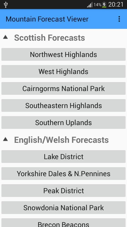
Mountain Forecast Viewer

The official app of the Mountain Weather Information Service (MWIS), that provides a detailed daily forecast for all the mountainous areas of the UK. The Mountain Forecast Viewer App stands out as a valuable tool for individuals engaging in mountain-related activities. Its accurate forecasts, elevation-specific information, and user-friendly interface make it an indispensable companion for those venturing into the challenging terrains of mountains. The app not only enhances the outdoor experience but, more importantly, contributes to the safety and well-being of users by providing crucial weather insights.


Be Avalanche Aware

The official app of the Scottish Avalanche Information Service (SAIS), a must have app for anyone heading into the Scottish Mountains in winter. The "Be Avalanche Aware" app serves as a vital resource for individuals engaging in winter sports and activities in avalanche-prone areas of the UK. Its combination of educational content, real-time alerts, and trip planning tools makes it a comprehensive and valuable companion for those navigating the inherent risks of snowy terrains. The app not only enhances the safety of users but also contributes to the overall culture of avalanche awareness and preparedness.


OS Maps

So now we’ve checked the weather on the above 3 apps, we can now start having a look at our route, and the app of choice has to be OS Maps (Ordnance Survey). Whether I'm hiking, cycling, or exploring new trails, this app has been a game-changer. An annual subscription to OS maps allows me full access to all maps of the UK, both in the 1:50K and 1:25K scales. I can download maps for offline use, perfect for those off-the-grid adventures and no more worrying about connectivity in remote areas. The basic subscription costs roughly £25 a year which can be considerably cheaper than buying several maps. Last year on The Great Outdoors Challenge walk across Scotland, I would have had to buy several paper maps, so having the app, printing my own maps and laminating them was a considerably cheaper option. The ability to plan routes is brilliant, your proposed route can snap to paths, give you the distance of the route, give you an elevation view and even a birds eye flyover view. If you are a regular walker then an OS subscription is a must. If you do buy a paper map, there is a scratch code inside the cover that you can put into the free OS map app. This code will then allow you to download the digital version of that paper map onto your OS map app free for 12 months. Even if you don’t buy any maps, the OS map app is still worth downloading, as you can get free access to the legends for both the 1:50K and 1:25K maps. Please note, that if you are printing maps from OS for commercial gain then you will need an additional licence at an additional cost. We highly recommend that you use a map and compass to navigate as navigating using a phone app will dramatically reduce the battery charge. Use occasionally to check where you are but remember to turn the app off when not in use. Just remember, that in an emergency situation a fully charged phone will be your best friend.


What3words

Love it or hate it, its another free app that’s here to stay, so rather than avoid it, we need to embrace it. A great app for meeting friends and family around urban locations or car parks at the start of a walk, but not ideal for when out and about on the mountains. It’s not a system favoured by Mountain Rescue Teams as there are too many possibilities of inputting an incorrect location due to a simple spelling mistake, adding a S onto a word, or putting a dot in the wrong place. W3W to their credit, have now added a 10 figure grid reference which can be added via the settings menu. While the app does offer offline functionality, it may have limitations in extremely remote areas or areas without any prior mapping data. Offline functionality depends on pre-downloaded maps.


Plantnet

A brilliant free app that can help you identify most of the plants and trees in the UK. The app doesn't just stop at identification - it also provides detailed information about each plant, making it a fantastic learning tool. Simply take a picture and the app will tell you from the flower, leaf, fruit or bark what plant or tree you are looking at. Be mindful though that it gives you a percentage and it isn’t always 100% accurate. This app is a game-changer for anyone who loves plants, whether you're a seasoned botanist or just getting into the green world. It's like having a personal botanist in your pocket!


Merlin

Another great free must have app for anyone that spends a lot of time in the outdoors. The app can analyse any bird song and tell you what bird you are listening to. Again not always 100% accurate in the Sound ID mode, but generally it does the job fairly well. Whether you're a birdwatching enthusiast or just curious about the feathered friends around you, Merlin's bird identification feature is truly spellbinding! Snap a photo, and let Merlin work its avian magic to reveal the bird's identity.


StarTracker

Ready to elevate your stargazing experience? Download StarTracker and get ready to be mesmerized by the wonders of the night sky! Simply point your phone to the night sky, and let StarTracker's augmented reality guide you through constellations, planets, and stars. It's like having a personal planetarium right in your pocket! Perfect for anyone that enjoys being out at night, perfect for them wild camps and night walks. You’ll probably want to turn the background music off, as it can get a bit annoying after a while.


PhotoPills

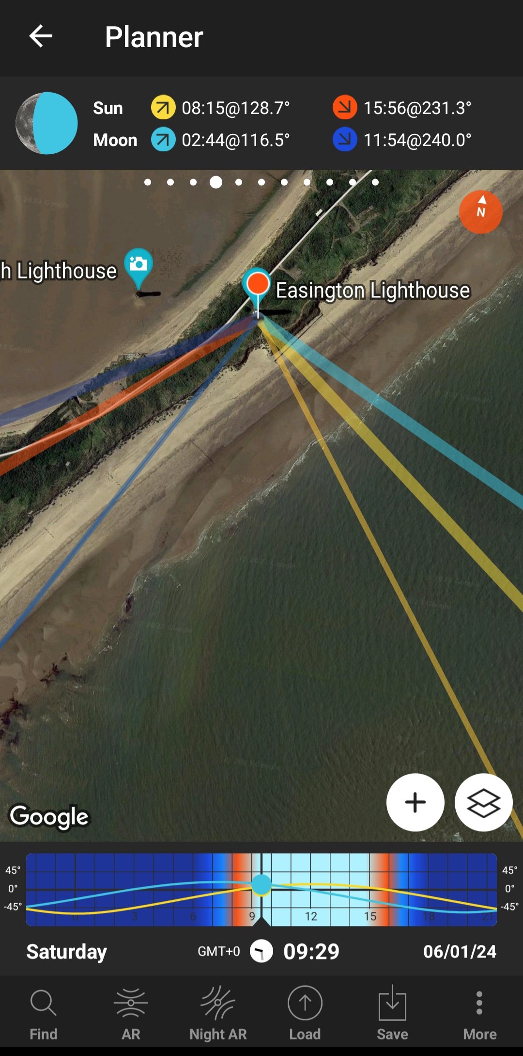
Photopills is a must-have app for photographers seeking to elevate their craft through precise planning and creative visualization. Offering a comprehensive set of tools, this app is a powerhouse for those who want to master the art of capturing stunning moments. It provides detailed information on the position of the sun, moon, and stars at any given location and time. This feature is invaluable for planning shots with perfect lighting conditions. Photopills is a powerhouse for photographers who want to go beyond capturing images and delve into the art and science of photography. With its precise planning tools and creative features, it's an essential companion for those seeking to turn their visions into breath taking photographs. While there may be a learning curve, the app's potential for unleashing creativity makes it a worthwhile investment for serious photographers. Downloading this app will cost you about £10, but for planning sunrise, sunset and moonrise photography shoots it’s a must.


British Hills

The British Hills app is a digital companion designed for adventurers and nature enthusiasts looking to explore the diverse landscapes and hills of the United Kingdom. With the promise of providing information and insights into the UK's natural wonders. A great free app for anyone that is into bagging hills. Lists of all the Munros, Murdos, Marilyns, Corbetts, Donalds, Grahams, Hewitts, Nuttalls, and Wainwrights with trackable lists and grid references. Tick them off as you do them, and a handy little map feature to see other nearby summits.


As technology continues to advance, outdoor apps have become indispensable tools for adventurers, nature enthusiasts, and anyone looking to make the most of their time in the great outdoors. Whether you're navigating trails, observing the night sky, or identifying plant or bird species, these apps add a new dimension to outdoor experiences, making them more enjoyable, educational, and memorable. Embrace the power of technology and let these outdoor apps be your companions on your next adventure. There are of course hundreds of other apps, each app collection will be different depending on the persons hobbies and lifestyle. The above apps are just a snapshot of dozens that I have and use regularly, and I would love to hear of any key apps that are missing from this list. As always, thanks for reading, and Happy Exploring.


Freelancing tips

In a world increasingly dominated by remote work and freelancing, the allure of escaping the confines of a traditional office space has never been stronger. For those who crave fresh air, sunshine, and the beauty of nature, becoming an outdoor freelancer is a dream come true. However, successfully navigating the challenges that come with this lifestyle requires a unique set of skills and strategies. Whether you're a seasoned outdoor freelancer or contemplating making the leap, these tips will help you thrive in the great outdoors.

In the outdoor industry there are basically 3 options for making a living, the first is to build your own business and work for yourself, the second is to freelance for other companies or providers, and the third is a combination of the first two options. Freelancing has the advantage that it gives you the freedom to pick your own working patterns and time, but it can certainly have its own challenges as well. The following tips will hopefully help you to overcome some of these challenges.

  1. Don’t quit your job - Over the years I have heard one or two people who had recently passed their leadership qualification, whether it be Mountain Leader, Hill and Moorland Leader, or Lowland Leader; thinking that because they now have a new qualification, that this will allow them to quit their current job and make a fortune in the outdoor industry. Stop - Don’t do it. Freelancing work can be a bit fickle, as was evident during the Covid lockdowns. During these lockdowns there were dozens of outdoor freelancers that left the industry to find other careers. A guaranteed income is essential until you are well established, with a good reputation and regular guaranteed work. So keep that guaranteed income from your current job coming in, and start building up your working relationships with various outdoor companies and providers. Freelancing on weekends and holidays could take you a few years to get to where you want to be, then once you are happy with your income from freelancing, then, and only then should you consider quitting your current job. A daily rate for a qualified Mountain Leader can vary from £140 a day up to £250 depending on your qualifications and experience.

  2. Keep on top of your paperwork - By this I mean, ensure that your CV is up to date and that it is readily available to send to any potential employers at a moments notice. I generally try and add something new to my CV each year, so it looks current and doesn’t look like something that I drafted up 10 years ago. Also ensure that you have some sort of third party liability insurance, and that you read the small print which can include some potential pitfalls. One of these pitfalls, may be the number of instructor to clients ratio, which is normally 1:12, or for D of E training and expeditions it is a ratio of 1:14. Please don’t take these ratio numbers as gospel, these are ratios from my own current insurance policy. Your own insurance policy may be slightly different depending on your level of experience and can change from one insurance company to another, but you will need to check. Another potential pitfall that I have seen on one of my previous insurance policies, is that you must be familiar with, or have recced a route. Being familiar with a route allows you to concentrate on your group and not walking out in front with your head in a map. Follow this link for Insurance as recommended by Mountain Training and Mountain Training Association. Insurance (mountain-training.org). An up to date outdoor First Aid certificate is essential. These are valid for 3 years, so get it into your calendar as soon as possible and book a refresher before it expires. Keep your DLOG (Digital Log Book) up to date, potential employers can look on Tahdah to see if you’re current with your logs. Have an up to date safeguarding Policy which you’ll need to review once a year. If you are taking bookings with peoples personal details, you’ll also need an annual Information Commissioners Office (ICO) certificate and ensure that these personal details are secure with password protection.

  3. Join the Mountain Training Association - The MTA is basically a community of trainee, qualified leaders, coaches and instructors in the UK and Ireland. The MTA provides support and development opportunities, workshops and events to help those working towards their qualification and keep skills and knowledge current for those already qualified. Having just returned from the MTA Winter conference at Glenmore Lodge I cannot recommend it highly enough, and I attend as many CPD (Continuous Personal Development) workshops as possible. Not only are these a great way of networking with other leaders, and preventing skill fade, but it’s a great way of keeping up to date with current policies and procedures. I have even secured some Mountain Leader work on some of these workshops. Mountain Training Association (mountain-training.org)

  4. Join the Freelance Outdoor Facebook Group - An unofficial Facebook group that offers lots of job opportunities and some excellent tips for freelancers. Be careful here though as there are one or two providers on this group that seem to take advantage of newly qualified leaders to work for free or at a reduced rate.

  5. Don’t put all your eggs in one basket - In an ideal world operating as a freelancer, you really want lots of regular guaranteed work. There is always the danger that the one provider giving you all your work suddenly goes bust, goes into receivership or liquidation, then you would be left hung out to dry. Try and split the work over several different providers. Different skills will also ensure that your work is spread out, whether its guided walks, navigation courses, Mountain Training skills courses, Duke of Edinburgh training and assessing, welfare walks, nature walks, photography workshops, etc.

  6. Build and maintain a good reputation - If you say yes to some work, then honour that commitment. Don’t let the provider down, as you will be unlikely to get any more work from them again. Also don’t be tempted to cancel with one provider because another provider is offering a better daily rate. Letting the original provider down could lose you future work and you’ll get a reputation as being unreliable. It may be that you need to have a conversation with the original provider to discuss daily rates.

  7. Don’t steal clients - Whilst freelancing for various providers I have regularly been asked for details of my own services that I provide, whether it be a navigation course or bespoke guided walks. Your immediate response should be to direct them to the provider that is employing you. At the end of the day the provider has put all the hard work into getting these customers, and it is only fair and right that they get any repeat business. If the provider doesn’t provide the service that the customer wants, at least highlight it to the provider, and it shows the provider that you are trustworthy.

  8. Be prepared to turn work down - A few years ago I agreed to do a guided walk for a well know company. As the day got closer I received the joining instructions only to find that I was the only instructor and that I had 34 clients. I rang the company to clarify a few things, and as expected, I was to be covered on the walk under my own insurance policy. I highlighted that my insurance policy only covered me for 12 clients. After a bit of a pause at the other end of the phone, the company in question stated that I wasn't actually acting in the role as a guide, and that I was simply acting as a safety sweep walking behind the group. I checked their website and it clearly showed that it was a guided walk. I refused to do any more work for this company. As previously mentioned above on one of the previous tips, you may see regular social media adverts looking for freelancers to work at a reduced rate, or free in order to get some experience. Don’t be tempted, it is likely that you have spent thousands of pounds on training, kit, travel and accommodation to attain your qualification. By taking these reduced or free rates, you are undermining the qualification and therefore preventing someone with a leader qualification from being correctly paid.

  9. Stay within your remit - For each leader qualification there is a candidate handbook available on the Mountain Training website Mountain Training (mountain-training.org). Ideally you need to know the content of the candidate handbook which includes the syllabus for your leader award in detail. This is your bible; print it out, have it easily available somewhere around the house, read through it regularly and know it inside out. For example as a summer Mountain Leader a guided mountain walk in winter conditions is out of the scope of your qualification. A mountainous route that involves the planned use of a rope is out of the remit of a summer ML. The syllabus is also a good reminder of your responsibilities to groups to INSPIRE 1. Inspire and motivate your followers with a united vision. 2. Nurture an environment of team-focused goals. 3. Set the example you want to see in your followers. 4. Praise, and give constructive feedback to your help followers develop. 5. Insist on setting high standards, relative to each individual. 6. Recognise and respond to teach individual’s need. 7. Encourage followers to create and implement their own solutions.

  10. Purchase the Mountain Leader book by Mike Raine - A must have book for any Mountain Leader, written by the very experienced and highly respected Mike Raine. The book is broken into two parts, the first part looks at ‘Becoming a Mountain Leader’, but for anyone with a qualification the second part on ‘Being a Mountain Leader’ is some essential reading. There are hundreds of top tips from some very experienced Mountain Leaders on how to be an effective qualified leader. If you’re looking to purchase this book then I would recommend that you buy it directly from Mike so that Mike gets any profits and not Amazon or Waterstones. SHOP | Mike Raine

Here at Boot Routes I do a combination of running my own events with some freelancing work thrown in to fill in any gaps in my calendar. Through years of hard work and by adhering to the above tips, I have now found myself in a nice position where I can pick and choose what freelancing work I want to undertake. Years of being reliable, professional, punctual and turning up with the right kit has made me very employable for several companies/providers. To this end it is now equally important that I maintain this reputation, keeping my skills up to date, and ensuring that I do not become complacent or take my foot off the gas. If this has helped you in any way at all, or you can think of something else that needs to be included on the list, or even if you disagree with anything on here, then please comment on the blog. Thanks for reading.

Kielder weekend

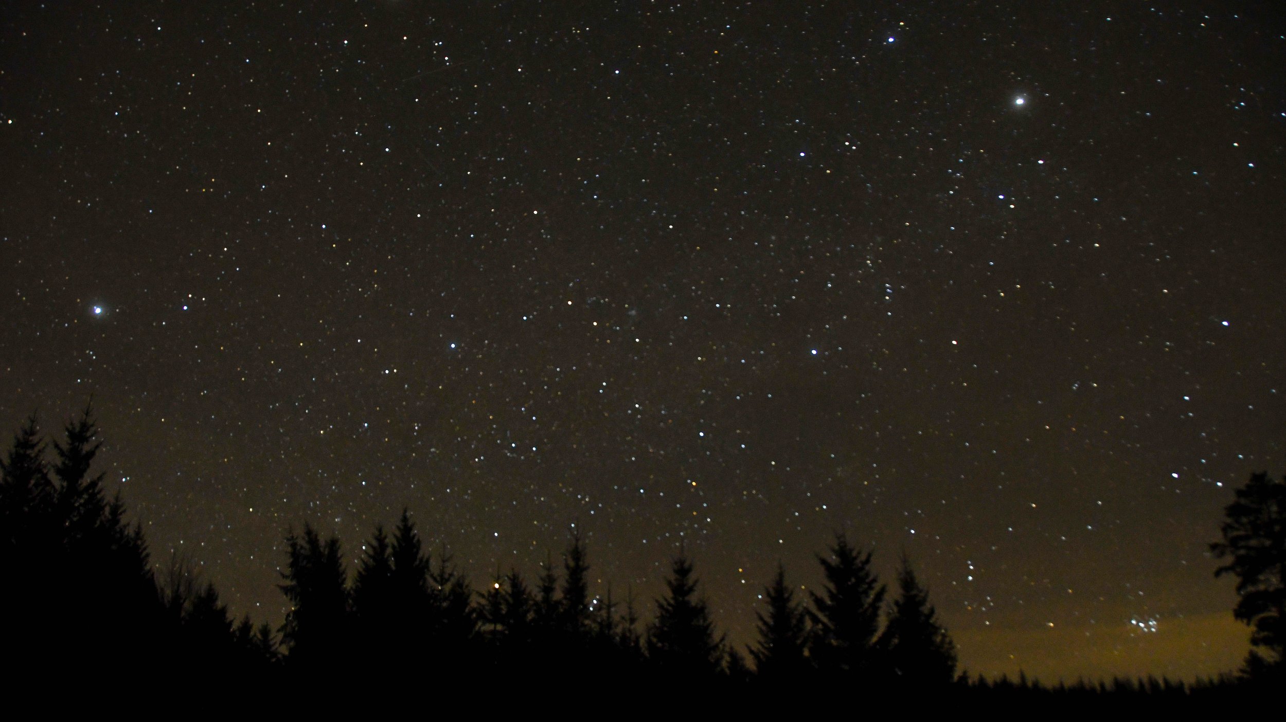
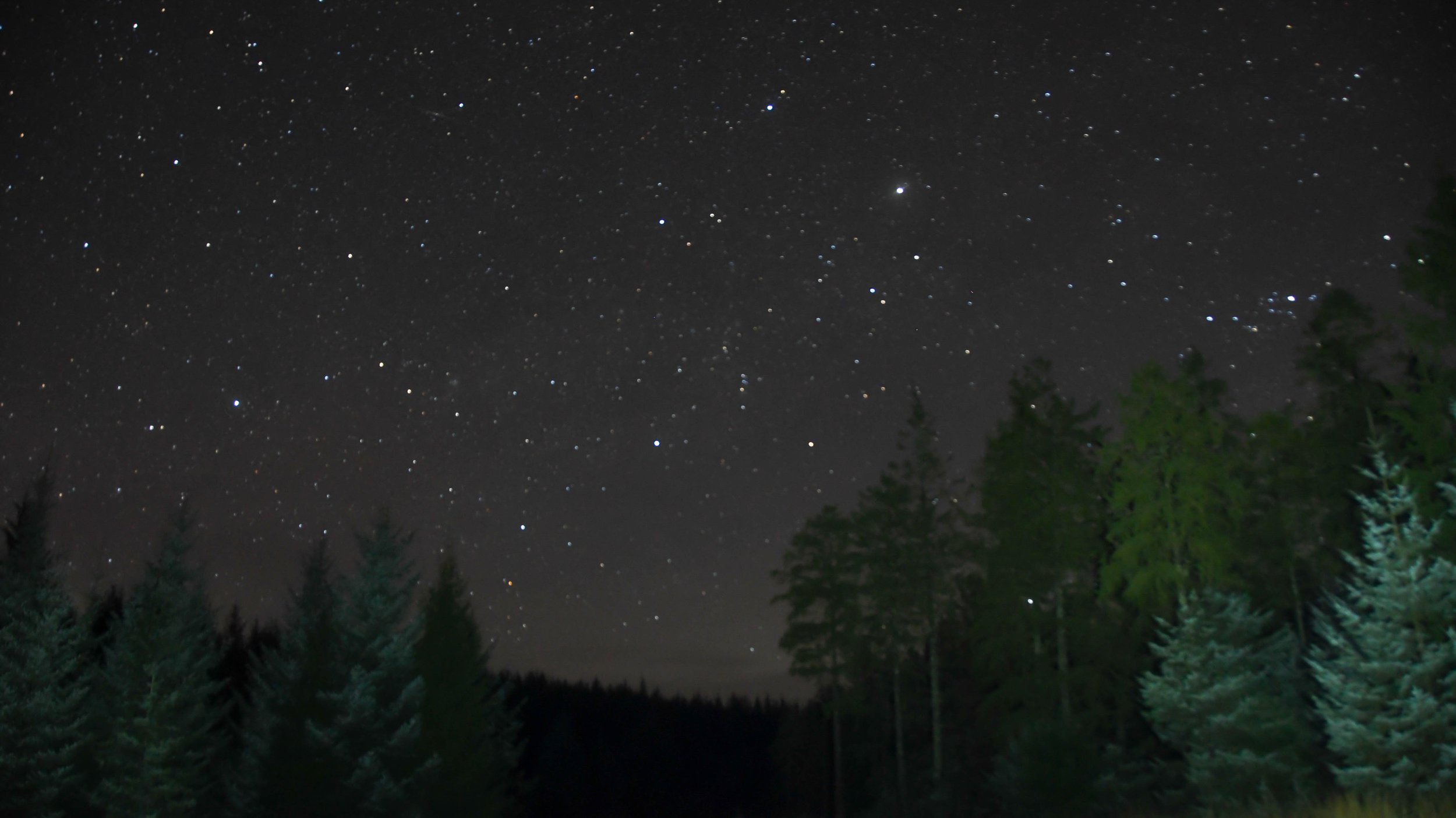
Here at Boot Routes we’re looking to run some themed weekends with plenty of walks thrown in for good measure. These themed weekends include some stargazing weekends, and there’s nowhere better in England for dark skies than Kielder. In fact Kielder Forest and Northumberland National Park have joined forces to become a designated International Dark Sky park, and on a clear night you can see numerous constellations, depending on the time of year you can see the Milky Way, the Andromeda galaxy and very occasionally the Northern lights. We had previously visited the area to look at where to stay, where to eat, and what walks were available, but we had never managed to visit any of the observatories.

So when Mrs P tells me to book 2 days off work because she’s taking me back to Kielder for a long birthday weekend and that this time our trip includes at least one visit to an observatory my ears prick up and my focus is suddenly on the weather and the clear sky apps.

Day 1 - The day starts with a 2 hour drive from West Yorkshire to Riverside Falconry just outside Newcastle, where Heidi had booked us onto a Hawk Walk. However with Avian Flu on the increase across the UK the captive birds are confined to barracks and are not allowed to be outside. We’re given the option to postpone the walk to a later date, or still visit, but for an indoors session and to meet the birds. Well, we were going to be in the area anyway so we opted for the indoors session and to meet the birds. We arrived slightly early, but the very knowledgeable handler was waiting for us and introduced us to a few of the birds of prey including Ozzie the Kestrel, Pav the Red Kite, and Monty the Eagle Owl. We’re allowed to handle them using well padded gloves and I also managed to get some stunning images, but admittedly I did wonder whether it was ethical or not as we drove on to our next location.

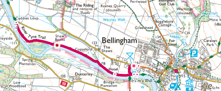
We had a couple of hours before we could check into our hotel for the night, so we drove to Bellingham for a short but pleasant 2.5 mile river walk on the banks of the river North Tyne. Parking at the picnic site car park next to the Fire Station (Grid Ref NY 83447 83342), we headed North for just over a mile before returning the same way. A tad muddy and there was something huge in the water that kept jumping around and had us wondering what on earth it was, my money was on a large Pike chasing smaller fish.

Eventually it was time to head to our hotel for the night, namely the excellent Battlesteads Hotel in the village of Wark near Bellingham. The hotel has a fantastic observatory in its back yard and we were booked into the observatory for an evening session. A lovely meal in the restaurant before the event and a very enjoyable 2 hours spent learning about the moon, northern hemisphere constellations and much, much more. Unfortunately it was raining and we never got chance to look at the stars, but the wet weather alternative was very educational and I even won a meteorite.

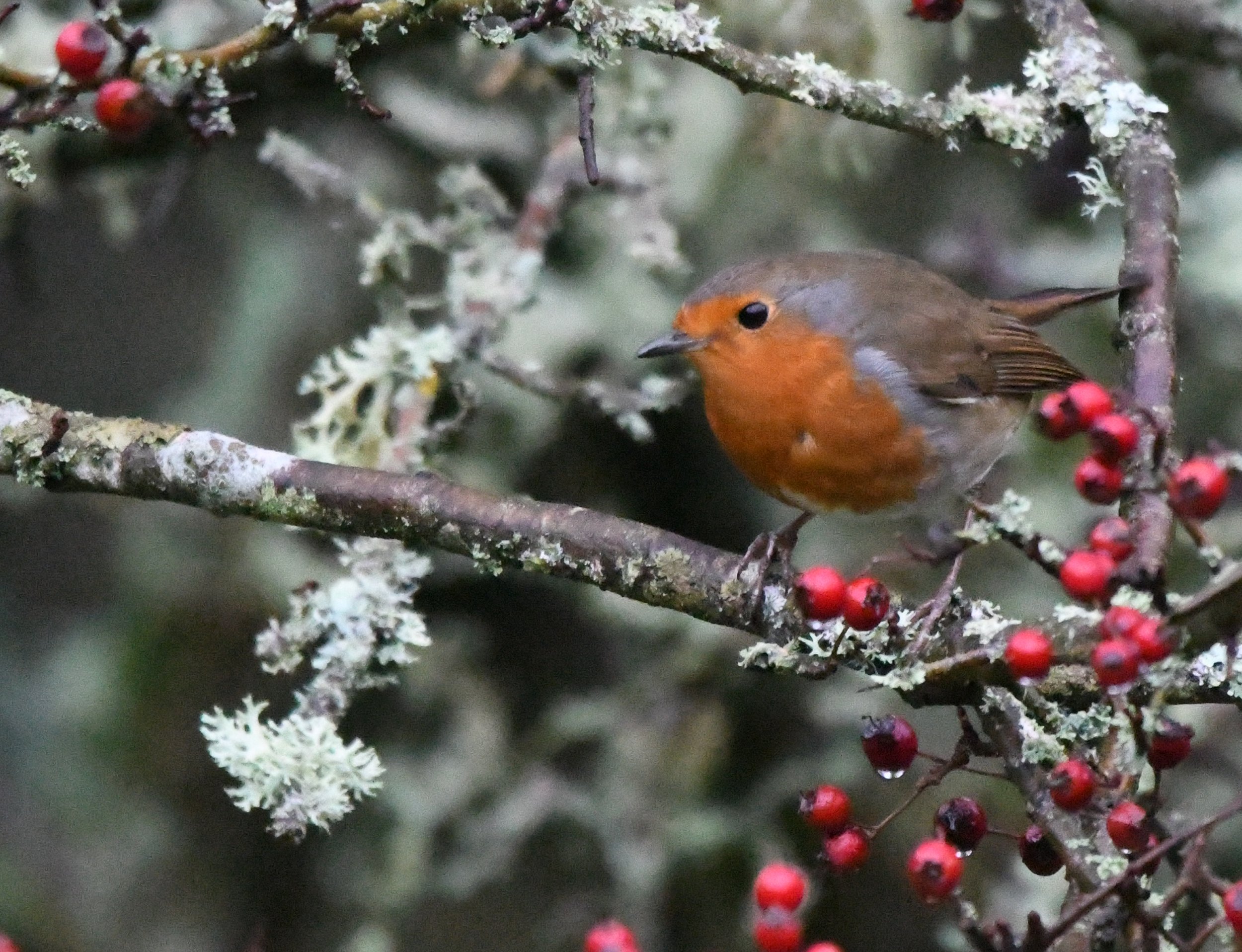
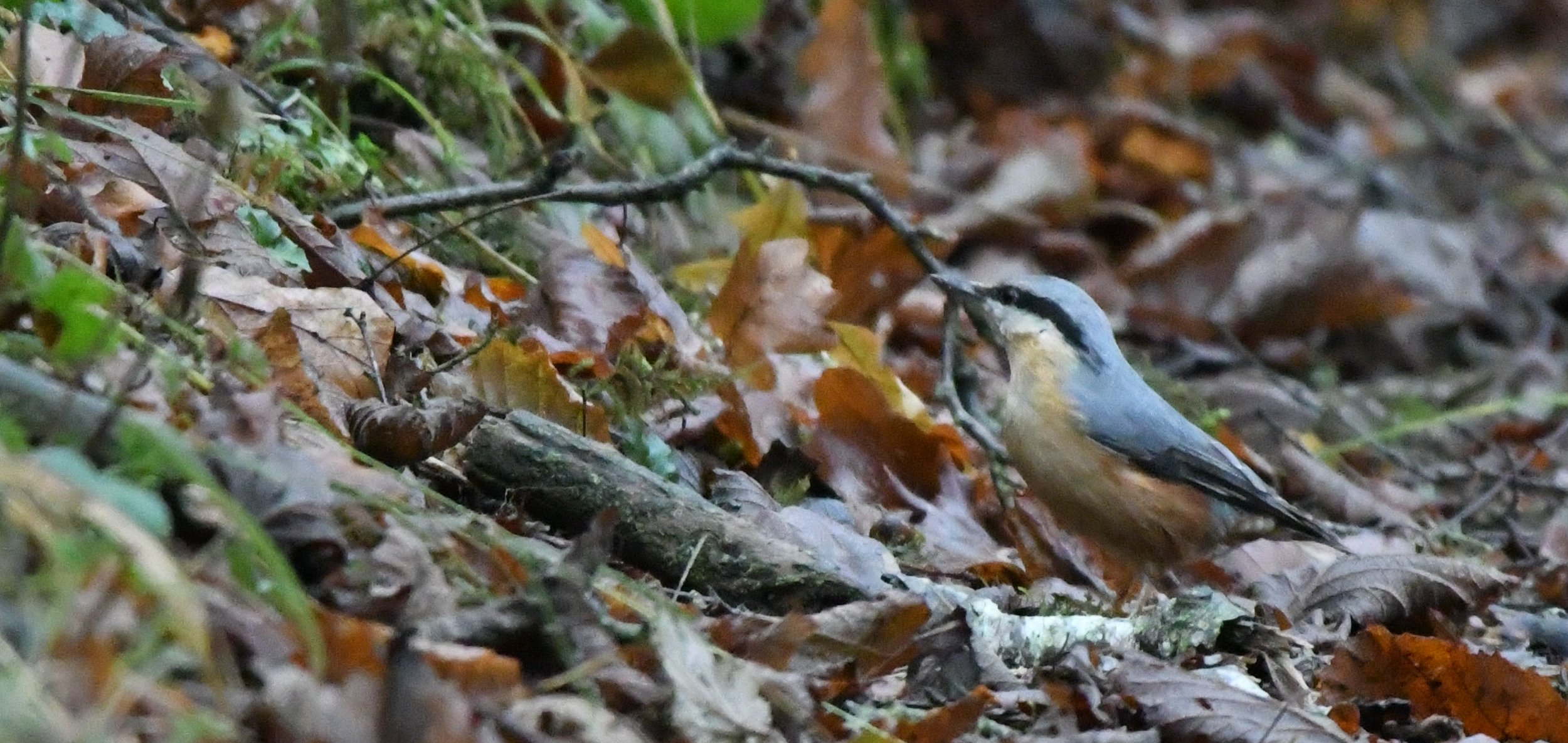
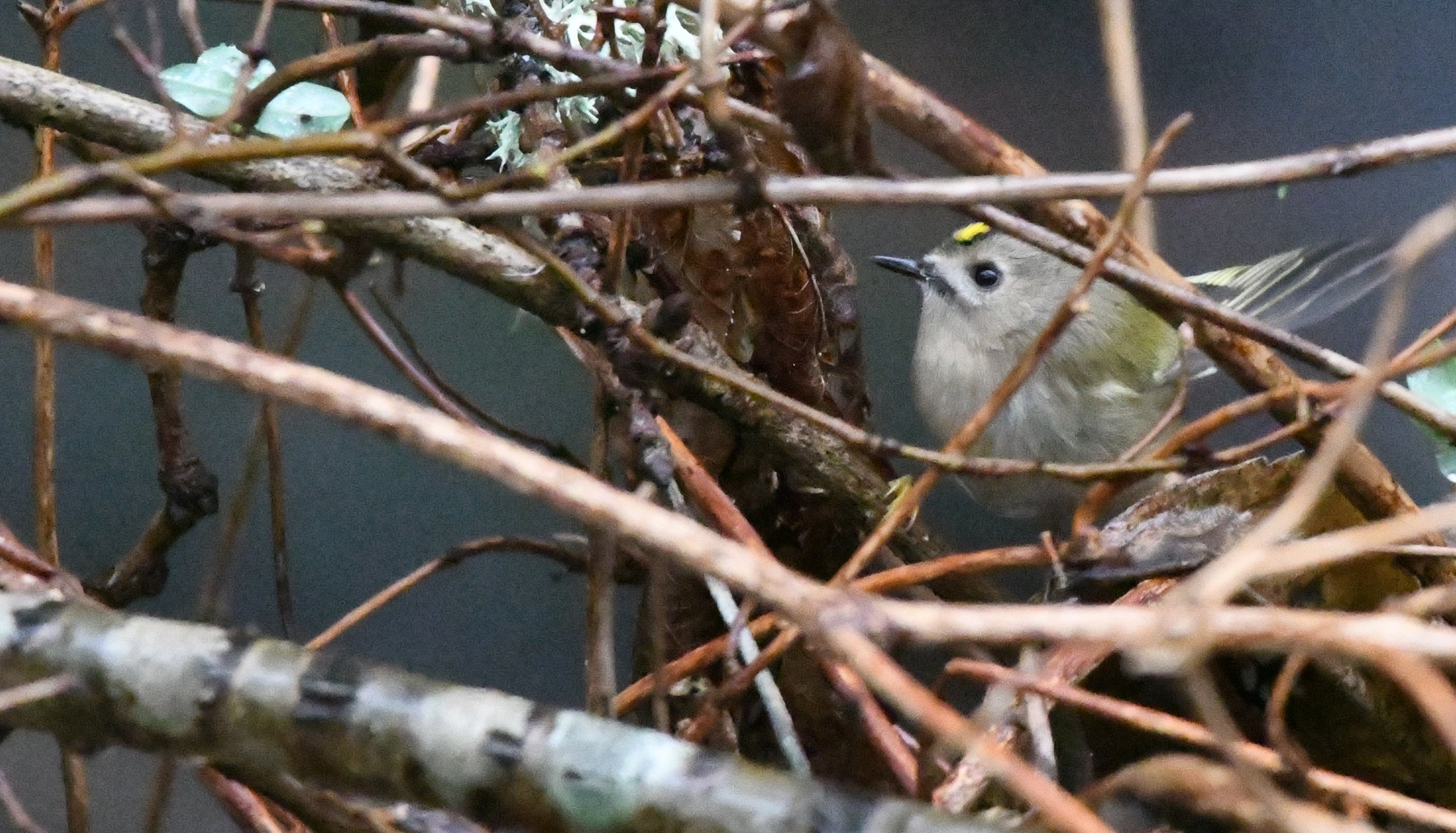
Day 2 - Started with an award winning breakfast before we made our way over to Kielder. It was then that we saw the devastation of Storm Arwen. We found that all the Forestry Commission car parks were closed, and most of the footpaths in the area were blocked with fallen trees. We were unable to get to the Red Squirrel hide which had apparently been demolished in the storm, so we had to come up with an alternative plan away from the Forest and returned to Bellingham for a walk up to the Hareshaw Linn waterfalls. From the car park (Grid Ref NY 84033 83483) it was roughly 1.5 miles up the gorge crossing numerous bridges from one side of the river to the other, passing various waterfalls before arriving at the main waterfall. Even in the shelter of the gorge, there was evidence that Storm Arwen had left her mark, with huge trees hanging precariously over the edges of the cliffs. After getting our waterfall fix we headed back the same route stopping to grab some photos of the UK’s smallest bird the Gold Crest, we also saw a few Robin, and a couple of Nuthatch. We then made our way to a little Cafe called Rocky Road in the centre of Bellingham for some coffee and cake.

Heidi had also booked me into an Astro-photography workshop at Kielder observatory at 8.00 pm, so we made our way back over to Kielder. We knew we would be spending the night in the camper van and we were aware that a pub called the Anglers Arms allowed camper vans to stay in their car park. However on entering the bar, it was like a scene from the Slaughtered Lamb in the film An American Werewolf in London, and I could have sworn I could hear banjos in the back ground. The local hillbillies were anything but friendly, and at one point I thought we were going to get lynched for using someone’s darts at the dart board. We had a quick drink, obtained permission from the land lady to use the car park then swiftly left with butt cheeks firmly clenched. There was no way I was going to be anybody’s little piggy.

We drove the short distance to the observatory, arriving in plenty of time and having a light lunch in the van. Then at 8 o’clock I joined about a dozen other budding Astro-photographers for a 3 hour presentation on camera settings, post procedure editing, and a guided tour around the observatory. Again, for the second night in a row it was raining heavily with total cloud cover and there was no chance of seeing anything outside. The presentation though was excellent, I found it educational and very informative.

Afterwards, instead of returning to the car park of the Deliverance Arms, we managed to find the only woodland car park that hadn’t been closed by the Forestry Commission for a night in the camper van. We started watching a film on the laptop, but I never got to see the end of it, and my eyes eventually closed to the sound of rain driving hard against the side of the van, with the wind rocking the van from side to side, and I swear I could still hear a bloody banjo.

Around 4 am I woke up in need of the loo, but I couldn’t hear any rain. On looking outside the skies were clear with no clouds and what seemed like hundreds of thousands of stars. Luckily after the previous nights workshop my camera was perfectly set up for the occasion, and we spent a few hours outside looking upwards, photographing the stars, and counted at least 20 shooting stars. Around sunrise Heidi produced some very welcome crumpets and coffee. I attempted a time lapse on the phone which seemed to work well before the clouds rolled back in and the rain started falling again.

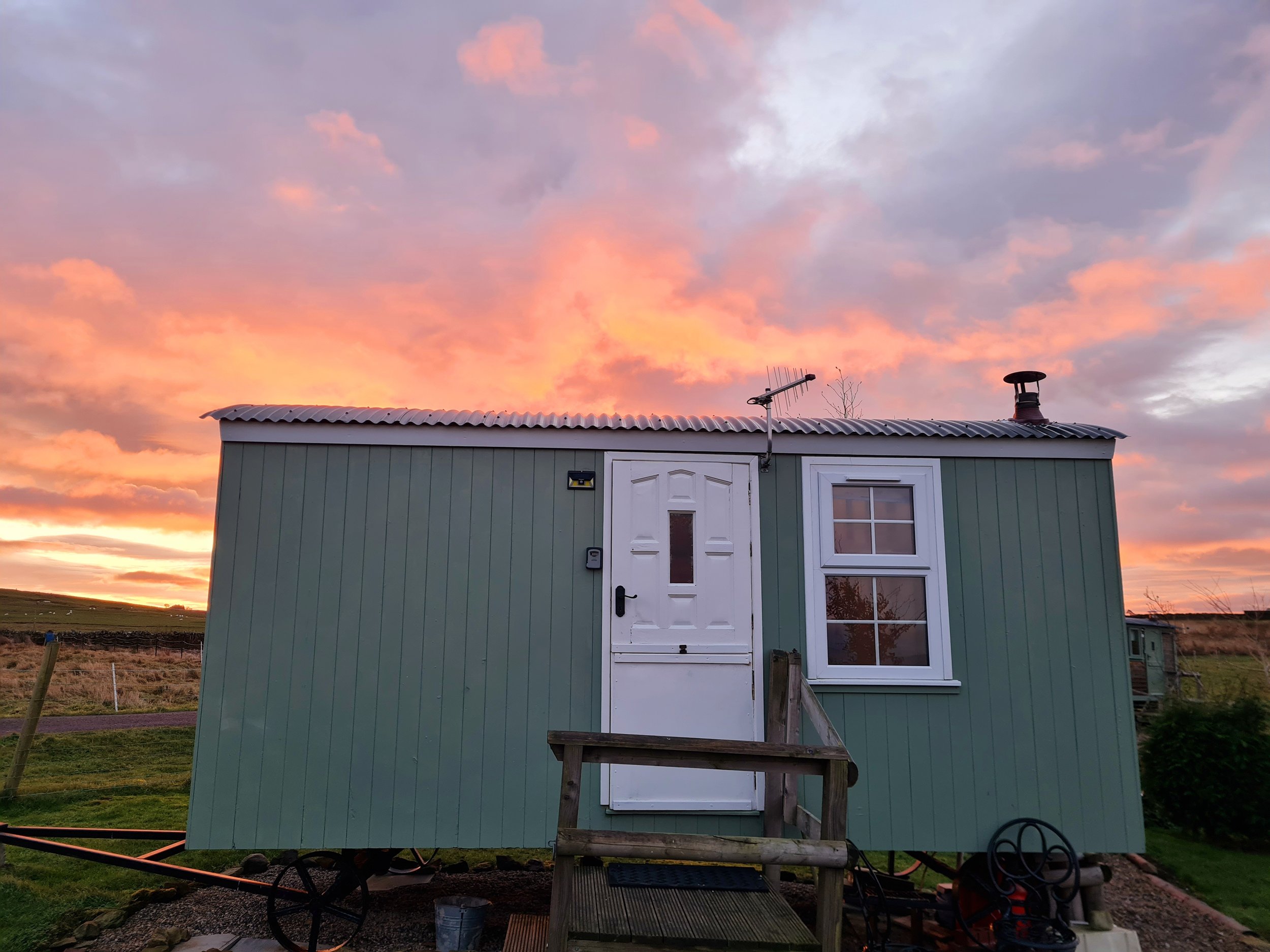
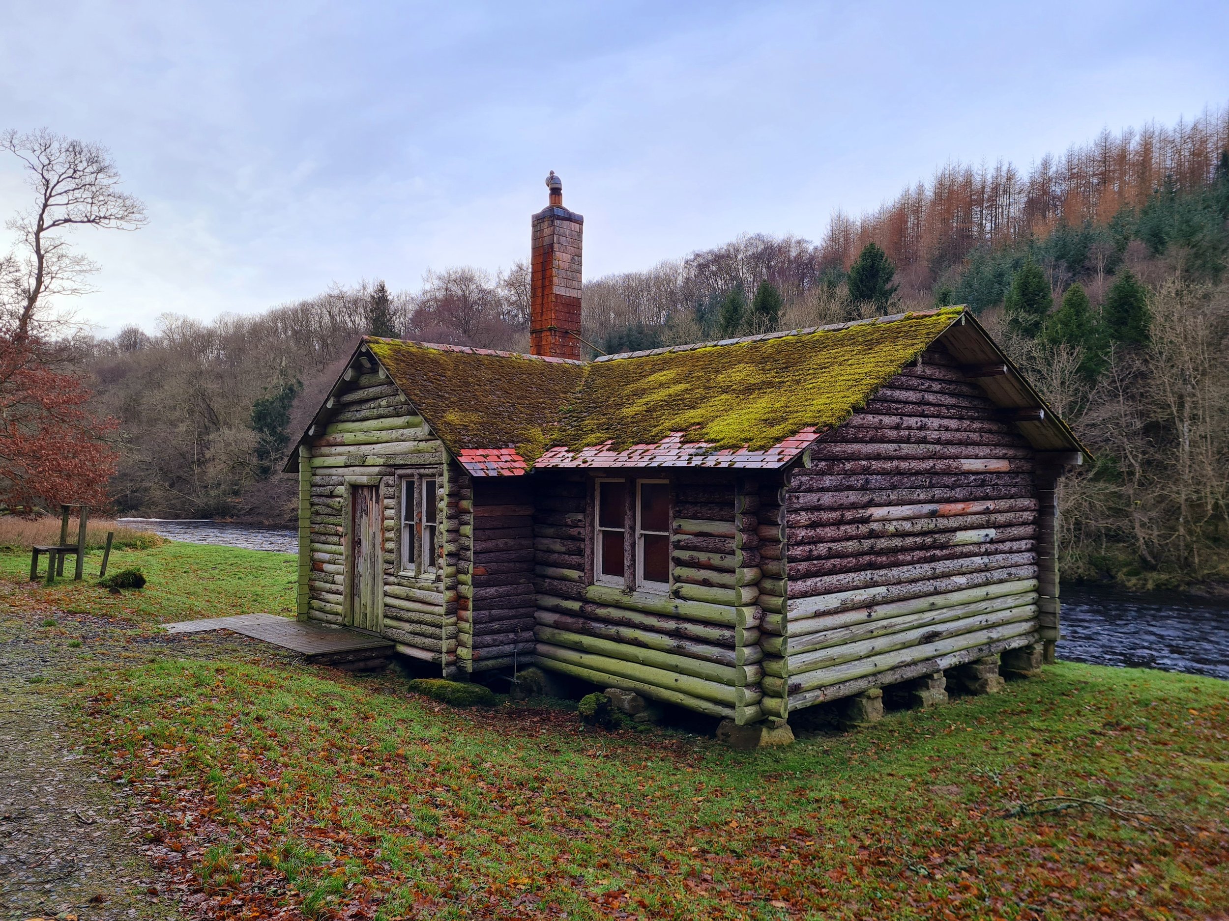
After our fix of stars and sunrise time lapse we made our way back over to Bellingham where Heidi had booked us into a cozy little Shepherds Hut. We unloaded the van, got a fire going in the little stove, then I left Heidi to catch up on her sleep whilst I went for a shortish 5 mile walk. It was a very pleasant walk that took in some moorland, some mixed woodland and a lovely little river section where I discovered a stunning timber lodge that was straight out of a scene from Swiss Family Robinson. There was also plenty of wildlife about including Redwing, Buzzard, Kestrel, a Sparrowhawk and a solitary Curlew. All too soon I was back at the Hut for a quick shower before heading into Bellingham for a first class meal at the Fountain Cottage Cafe. If the B&B attached to the Cafe is to the same standard then its definitely worth a stay. Absolutely first class food and the Christmas dinner in a Yorkshire pudding wrap was stunning.

Back at the Shepherds Hut we snuggled up for a film with the log fire roaring away in the background, but typically another night of cloud cover so we missed the peak of the Geminids meteor shower. The following morning we watched the sunrise before packing up and heading home stopping for coffee and cake. In all a fantastic birthday treat from Mrs P, and we’re already planning a return to the area.

Outer Hebrides

For whatever reason I seem to be drawn to cold, wild, wet, rugged and remote locations and have spent most of my life exploring the mountains, Fjords and Glens of Northern Europe. So after what seemed an eternity of lock downs I was in need of another raw adventure and the Outer Hebrides with its rugged shorelines and big skies had been on my bucket list for as long as I can remember. So a plan was hatched, a week off in October to coincide with the wife’s birthday, but would the trip be the adventure fix that I needed, or a birthday treat for Heidi, only time would tell. I had also deliberately left it late in the season for the tourist numbers to subside, but also for the midges to disappear as the little buggers can spoil the hardiest travellers holiday.

Once I had squared it away with head office (Heidi the wife), and booked the days off work the ferry was booked and plans of mountain and coastal walks were made. However 2 days before we were due to travel an old back injury from a car accident years ago flared up and the our plans had to be remade. At least on this occasion I was able to shuffle walk to the van from the house so crippled or not, the trip was on.

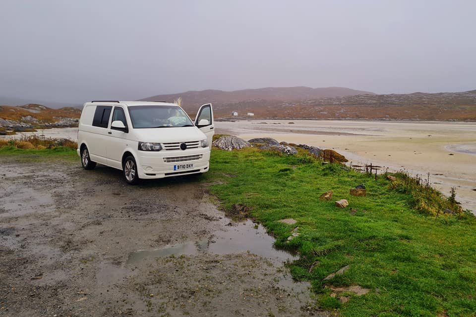
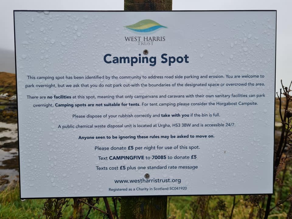
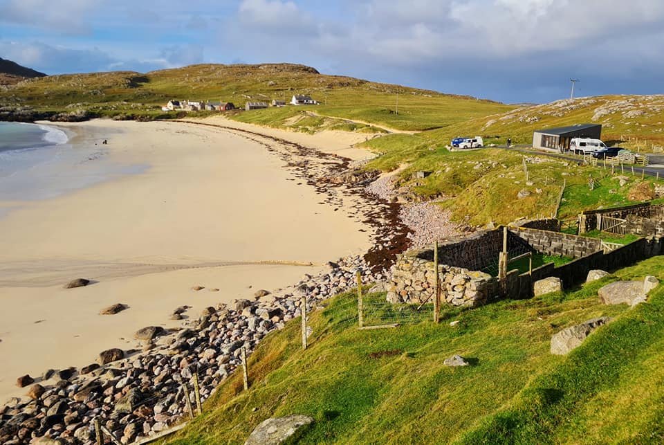
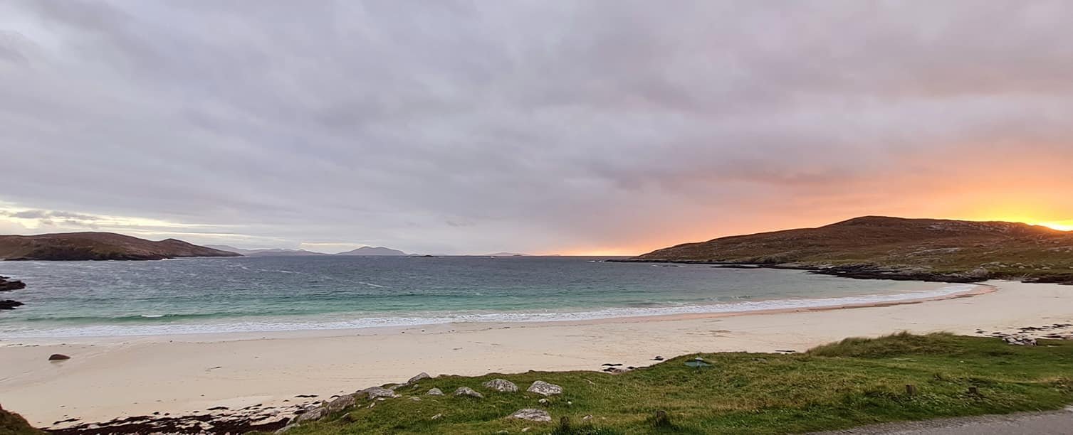
Day 1 - So what followed was a long painful overnight drive North in the camper van, a ferry crossing from Ullapool to Stornoway, followed by another 2 hour drive to arrive mid afternoon at the stunning Luskentyre beach. We found a little lay by run by the West Harris Trust, and an online payment of £5 secured our coastal view for the next 24 hours. After a cursory look around, and something to eat, I was that tired that despite the beauty of the place I couldn’t keep my eyes open, and when I finally closed them they stayed closed for the next 15 hours.

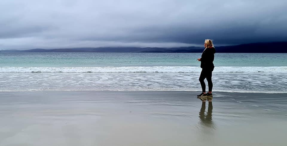
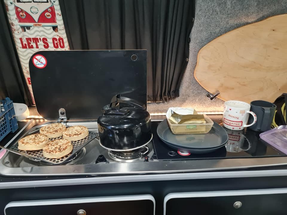
Day 2 - After a breakfast of crumpets on our new toaster in the van we headed down to the beach to inspect the sandy vistas. If you have never been to Luskentyre beach, it is simply stunning and a must visit place for anyone visiting these islands. Long white sandy beaches for as far as the eyes can see, with the water the same colour as an advert from the Maldives, but a cold cutting wind reminded us which hemisphere we were in, and even though it was overcast with squally showers the views were breathtaking.

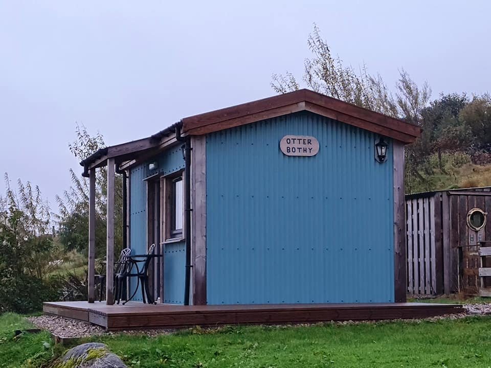
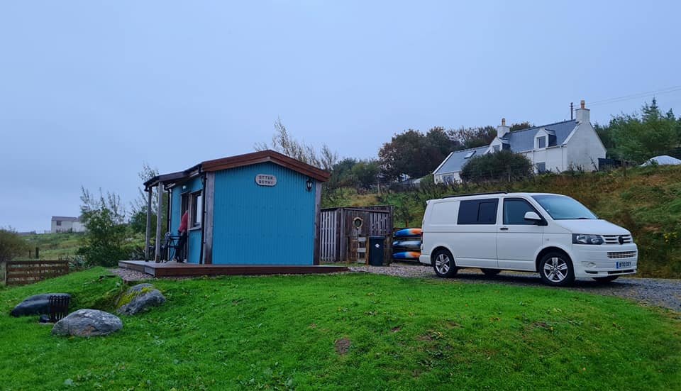
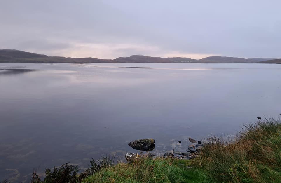
Once we had our fix of one of the UK’s best beaches, we headed North to find our accommodation for the next 3 days. Otter Bothy near to the village of Miavaig overlooking the shores of the Loch Rog, it came up as an obvious choice when searching the internet. A compact little Bothy, just big enough for 2 people but contained everything that a person would need including an excellent hot shower. Prices were comparable with a hotel in Stornoway, but with the Bothy you get a true feeling of wild Scotland. The rain beating against the door and window so loud that we had to turn the volume of the laptop up so we could hear our nightly film. On the flip side it was remarkably quiet and tranquil when the weather was pleasant, with the silence only broken with the occasional sound of an Oystercatcher. Big on charm with lots of character and a highly recommended accommodation for anyone visiting the islands. There is an 8 person bunkhouse next door which we had also come to view for future Boot Route trips. It is owned by the same owners, there’s also a drying shed, canoe hire, an outdoor picnic table, and a fire pit right on the waters edge. You wont get that at a posh hotel in Stornoway. www.otterbunkhouse.com

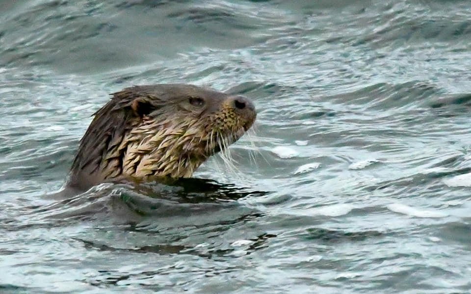
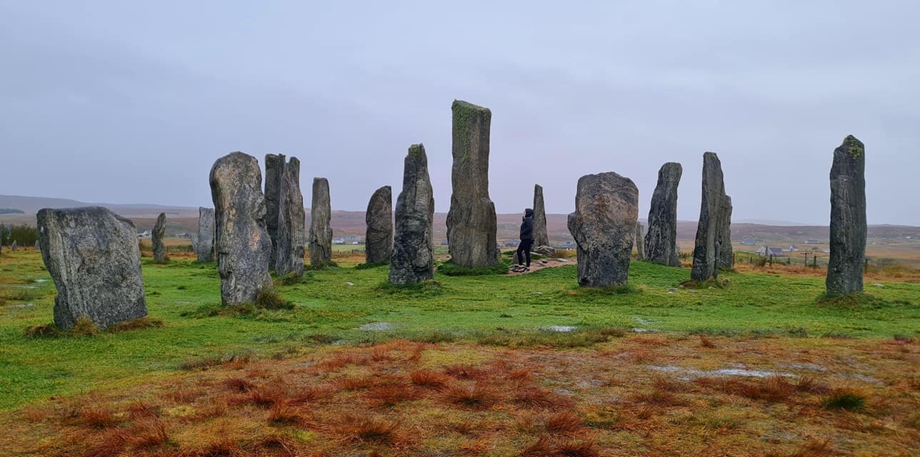
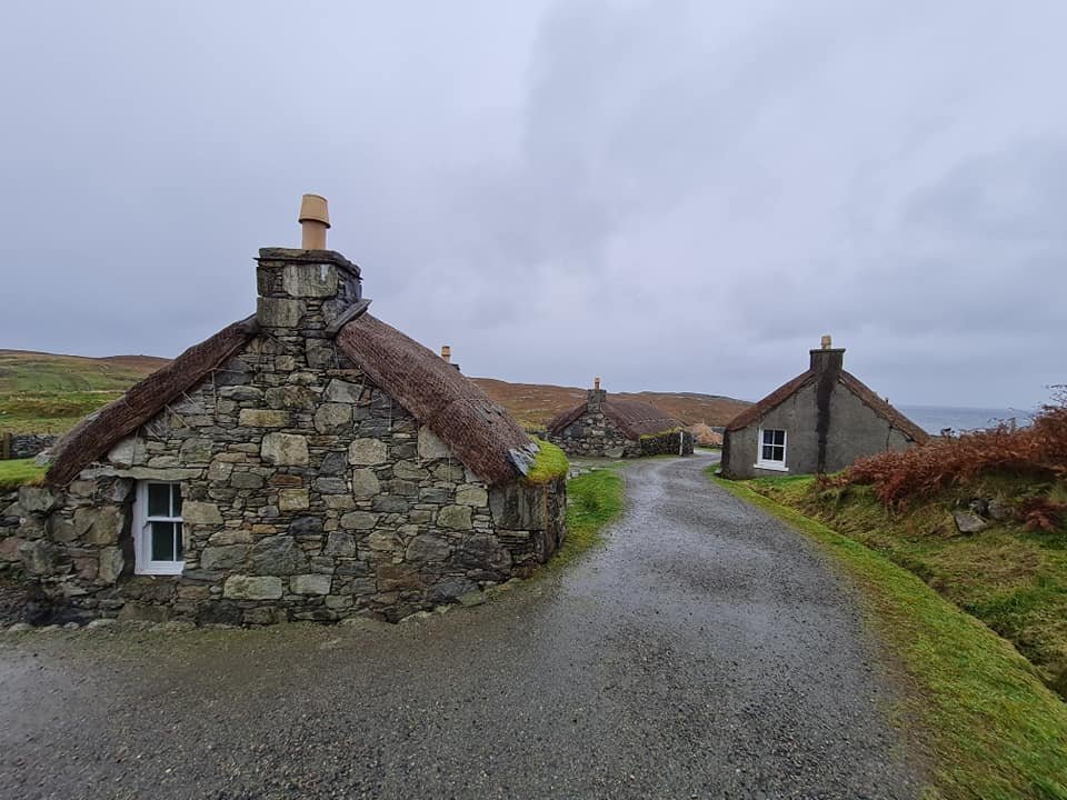
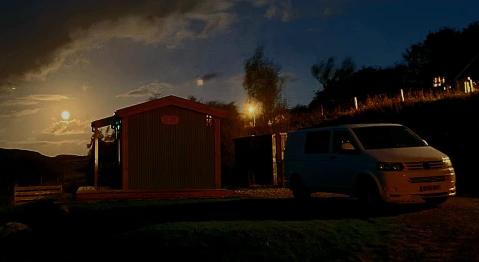
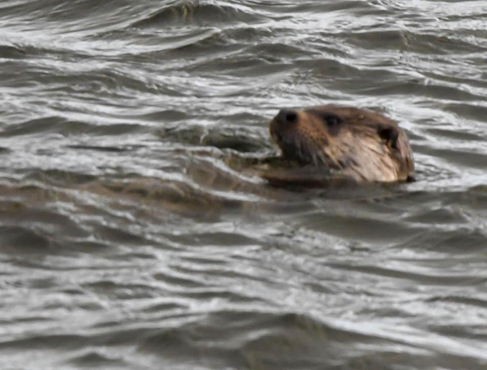
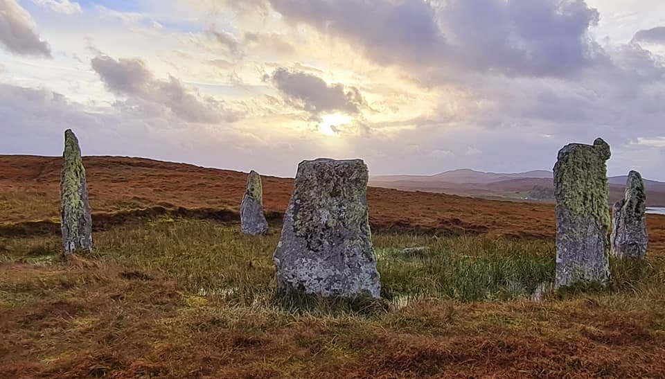
Day 3 - The owner of the Bothy had promised us Sea Otters and she certainly delivered with a Sea Otter feet away from our front door on our first morning at Otter Bothy. Once I had got my camera settings sorted I just about managed to get a couple of shots before it disappeared. At home, one of neighbours has a dog called Tyson that is always up at the window looking outside, and that was my wife’s nickname for me as I couldn’t keep away from the window. The weather was ‘Dreich’ (Scottish word for dull and gloomy), so we decided to investigate some of the historic locations further North. The Calanaish stones were at the top of our list of places to visit, and after a look around the visitor centre and testing some of the excellent cakes in the cafe, we headed up to have a look at the stones themselves. These stones pre-date the pyramids and Stonehenge, and they certainly get the mind boggling as to their purpose and how they were actually built. We then headed up to the Blackhouse Village, where we watched some Harris tweed being made by a very knowledgeable gentleman, and got an insight into the harsh life of the islanders hundreds of years ago. Then it was back to the Bothy for a stunning evening meal with a full moon rising over the Loch to our East.

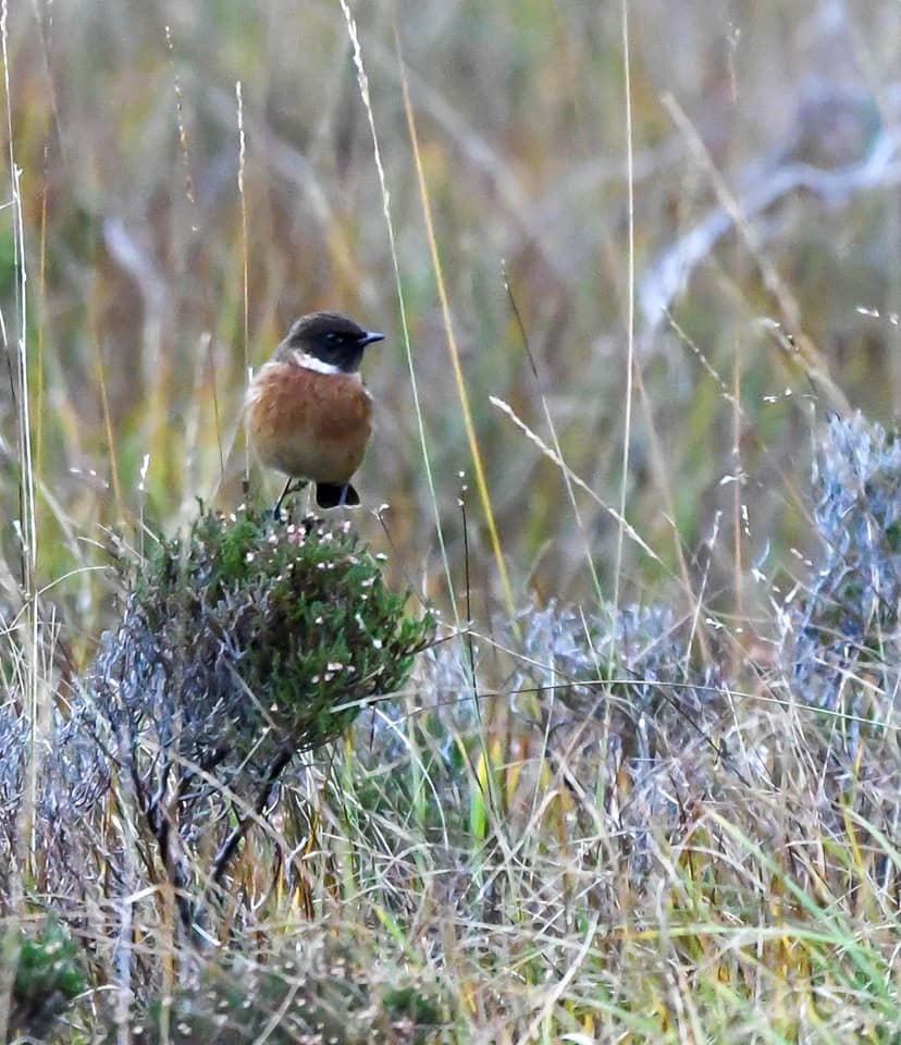
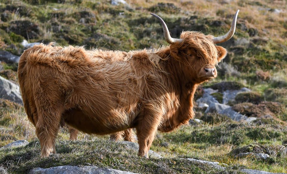
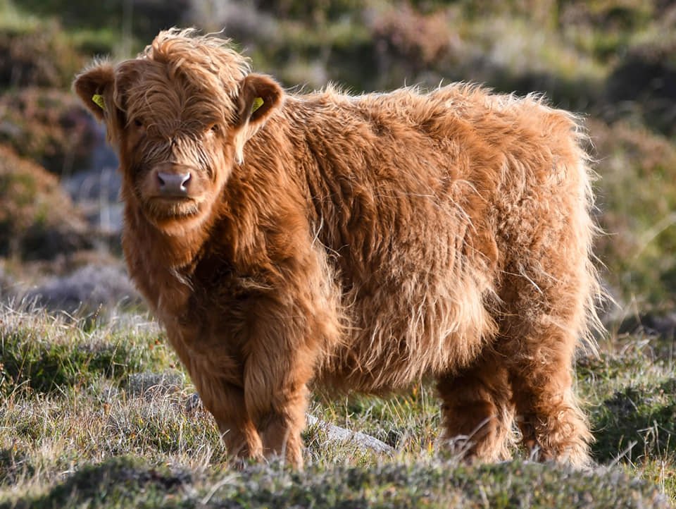
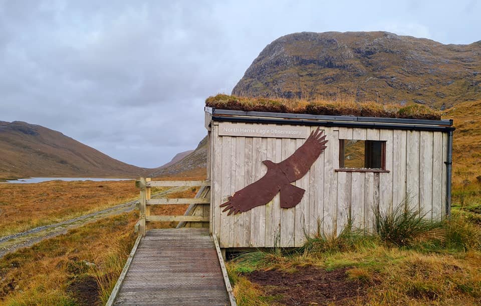
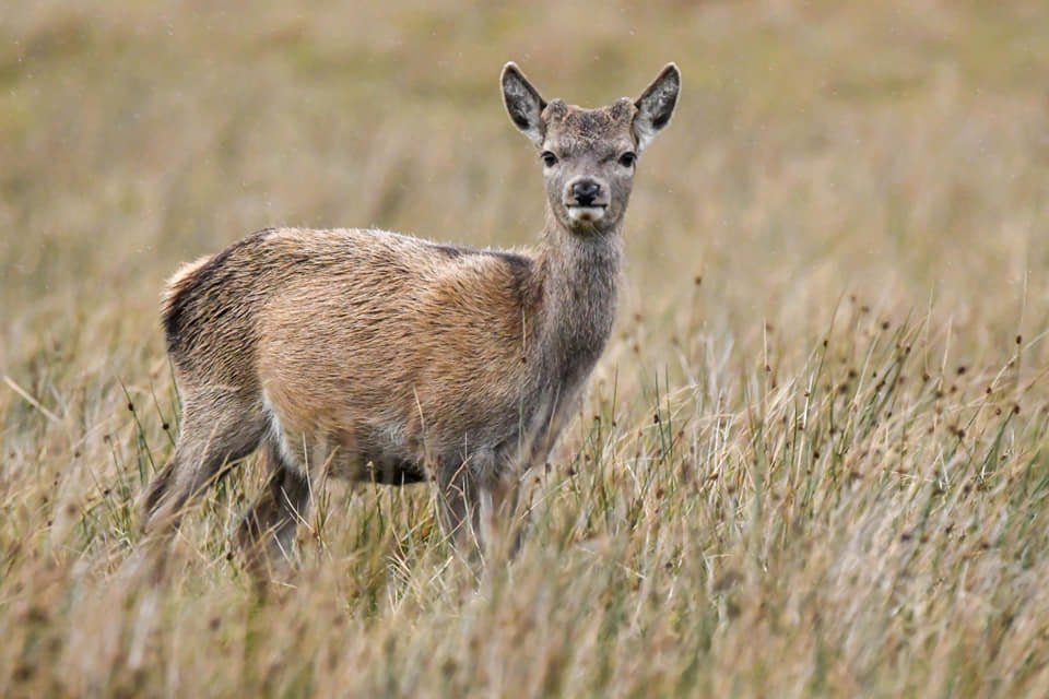
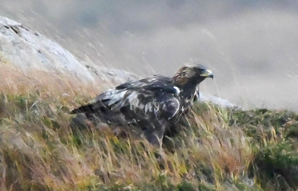
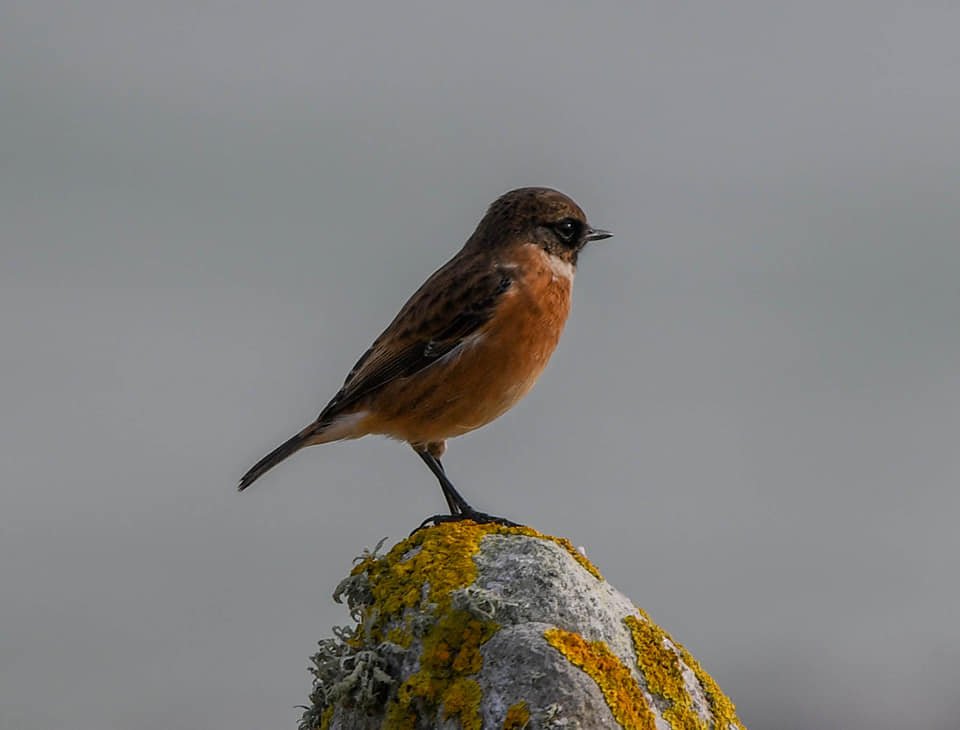
Day 4 - If day 3 was a history day, then today was definitely going to be a wildlife day, and an excellent start to the day with the resident otter making an appearance outside our Bothy again. We then headed South to the Eagle observatory where we could see lots of Golden Eagles hovering over the mountain tops in the distance, but too far away to be photographed. There was however plenty of other wildlife about including Cormorant, Great Northern Diver, Black Throated Diver, Stonechat, Gannet, Guillemot, Red Deer and although not strictly wildlife I couldn’t resist grabbing a few photos of the Highland Cows. Feeling slightly chuffed that I had managed to grab some semi decent shots we headed back to our accommodation, stopping at a small stone circle near to our Bothy for a sunset shot and then when an Eagle landed at the side of the road we just had to pull over and grab a few photos which was an excellent finale to our wildlife day.

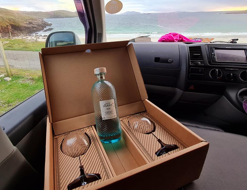
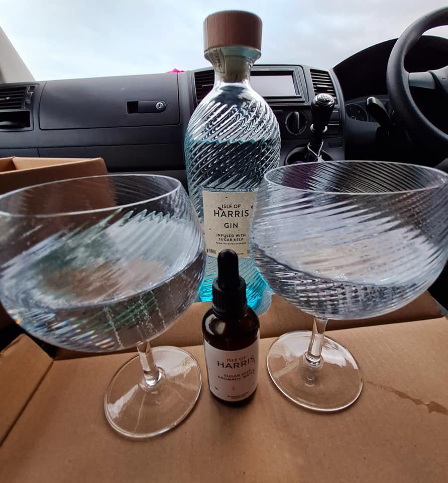
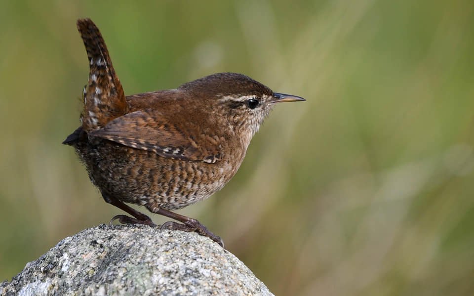
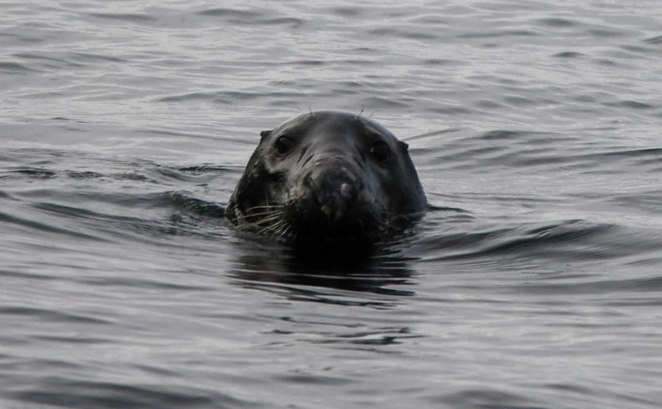
Day 5 - Time to leave the Otter Bothy, and the resident otter even came to say farewell, but admittedly from a distance. Once we were packed up and the Bothy clean and shipshape we headed South to the Hushnish peninsula, and a night in the van next to a stunning beach. There are some fantastic facilities here for camper vans, with a state of the art toilet and shower block, with its own viewing gallery overlooking the beach. A £10 donation to the local trust allowed us to use these facilities and an overnight parking spot overlooking the gorgeous beach. I went for a short walk around the headland where I could see numerous Golden Eagles over the mountains. On the shore lines there were Oyster Catchers, Stonechat, a Grey Seal and a beautiful little Wren. Given the location and the setting sun, it seemed only right that Heidi got her birthday present a day early, a Harris Gin set with various tonics which we sampled until the early hours with the whole beach to ourselves; the girl seemed happy.

Day 6 - During the night the wind had picked up to gale force strengths and was buffeting the van that much it kept waking us up. The temperature had also plummeted, so the diesel night heater came into its own and certainly delivered the goods with a nice warm toasty van. The pristine beach which we overlooked was obscured by big white storm waves, and there smack bang in the middle of the beach was the rotting carcass of a seal with a big slice across its torso probably caused by a propeller. Every gull and Skua that was brave enough to fly in these awful conditions were dodging the waves and helping themselves to big chunks of seal blubber. Camera ready I sat in the viewing gallery waiting for the eagles to come and have a feed, but despite all the gull activity they never showed up. Mid afternoon we made our way to Stornoway for a night in a hotel (well it was Heidi's birthday), a pleasant evening meal and then we polished off the bottle of Isle of Harris gin that Heidi had got for her birthday.

Day 7 - After a hearty breakfast we had a few hours to kill before the ferry crossing, so we drove North for a walk around the lighthouse at the Butt of Lewis. This is said to be a great location to see Cetaceans and basking sharks, but other than an inquisitive seal we didn’t see anything else. We had a pleasant walk on the cliff tops then returned to Stornoway for a walk to explore the wood carvings in the grounds of Lews Castle, before making our way down to the ferry terminal.

This was where our trip turned upside down; on checking in at the ferry terminal, we were told that there would be a 2 hour delay due to a technical issue with the boat, not a problem, we can live with that. But then when we saw fire engines approaching the boat we knew there was more to it. We were then told that the ferry was cancelled due to a fire on board the ferry. The other ferry terminal on the island at Tarbert was closed following a Covid outbreak on their ferry, and that the remaining ferries for the rest of the week were fully booked. They were unable to say when they could find us a slot, and I heard them tell the woman in front of me that it could be another week before they could get her off the island. It was a Sunday and everything on the Islands is closed on a Sunday, even the petrol stations and supermarkets; so if we were staying for another week we wouldn’t be able to get any supplies until the day after. They did tell us that we could claim back any expenses, so we returned to the hotel for another night in a comfortable bed and an evening meal.

I have no issue with being stuck on this stunning island for a few more days and we would have happily returned to some of the stunning beaches, but what was eating me up was not knowing when we would be leaving, I like to have a plan. So around midnight I had a walk down to the ferry terminal to see if there was any news. The information office was closed but there were about half a dozen cars hanging around waiting to see if they could get onto a night freight ferry. Back to the hotel room, I dragged Heidi out of bed, loaded up the van and drove down to the terminal to join the 6 other waiting cars. Luckily we managed to get the last slot onto the freight ferry, and after a choppy 2 hour ferry crossing we were finally back on the mainland. Another long drive home stopping for a couple of hours kip in the van and we eventually got home around tea time (14 hours later than planned), had we not gambled with the freight ferry then this blog would have been for a 2 week break.

So other than a lack of a contingency plan by Calmac ferries it was a fantastic trip away, and we’re already planning a return trip next year. So was it my adventure fix that I needed, or Heidi’s birthday treat?, Well I think it ticked both boxes, big skies, stunning beaches, lots of history, a nice gin distillery, and plenty of wildlife, what’s not to love.

A wet and windy weekend

A rare weekend where both Mrs P and myself had the weekend off, and we were desperate to get away in the van. As the weekend got closer the rain clouds on the weather reports didn’t disappear as we had hoped. In fact the whole of the UK looked pretty miserable for Saturday, but it did look to be clearing up a bit in the East on Sunday. So an easy decision was made to head to the East coast with RSPB Bempton Cliffs at the top of the list of places to visit. This is where it all started for me with my wildlife photography, and it was like I was heading home. For years I have wanted to come back for a decent image of a Puffin, but they have either ‘Gone fishing’ at the time of my visit or I was unable to travel due to lock downs.

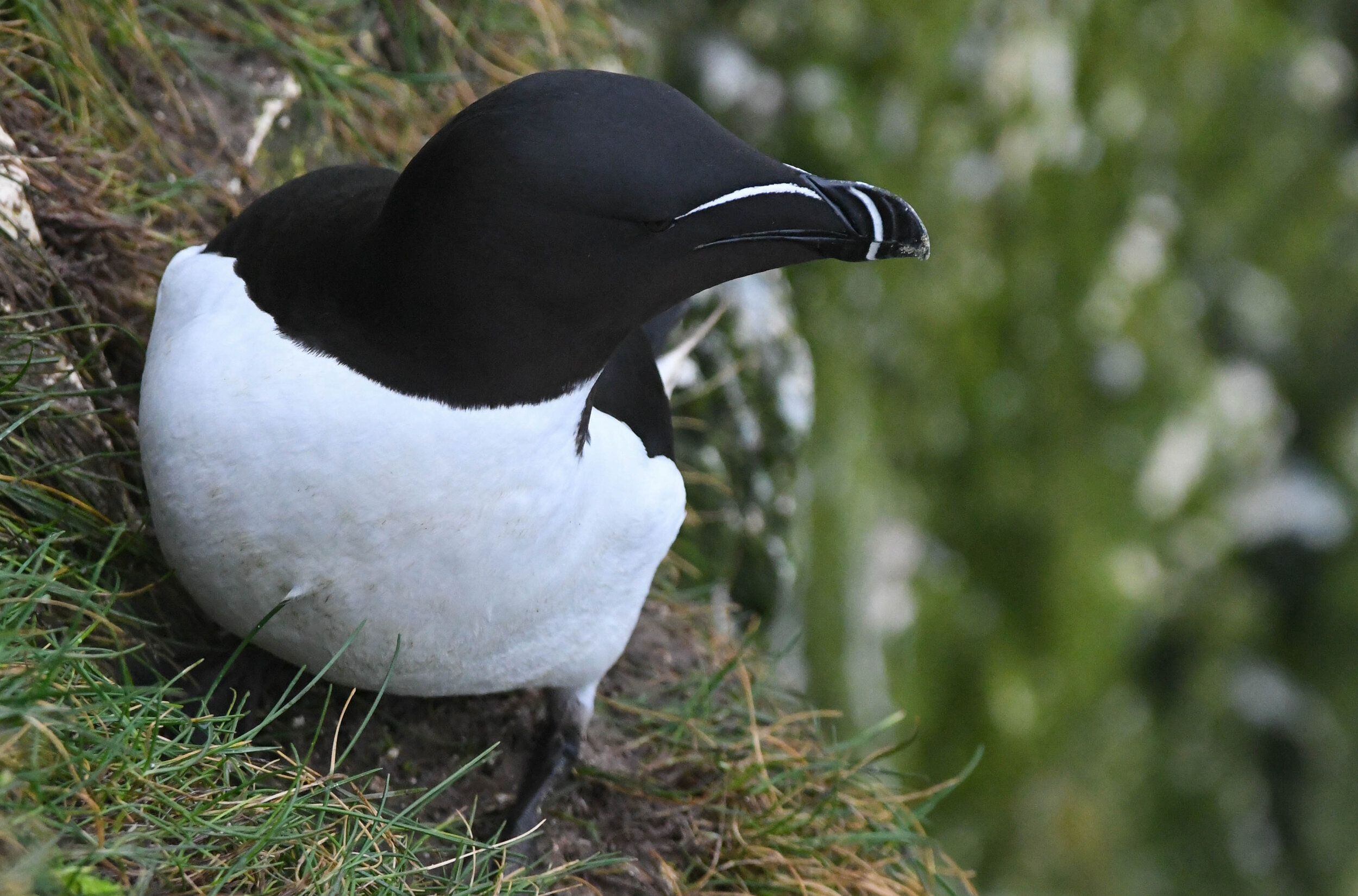
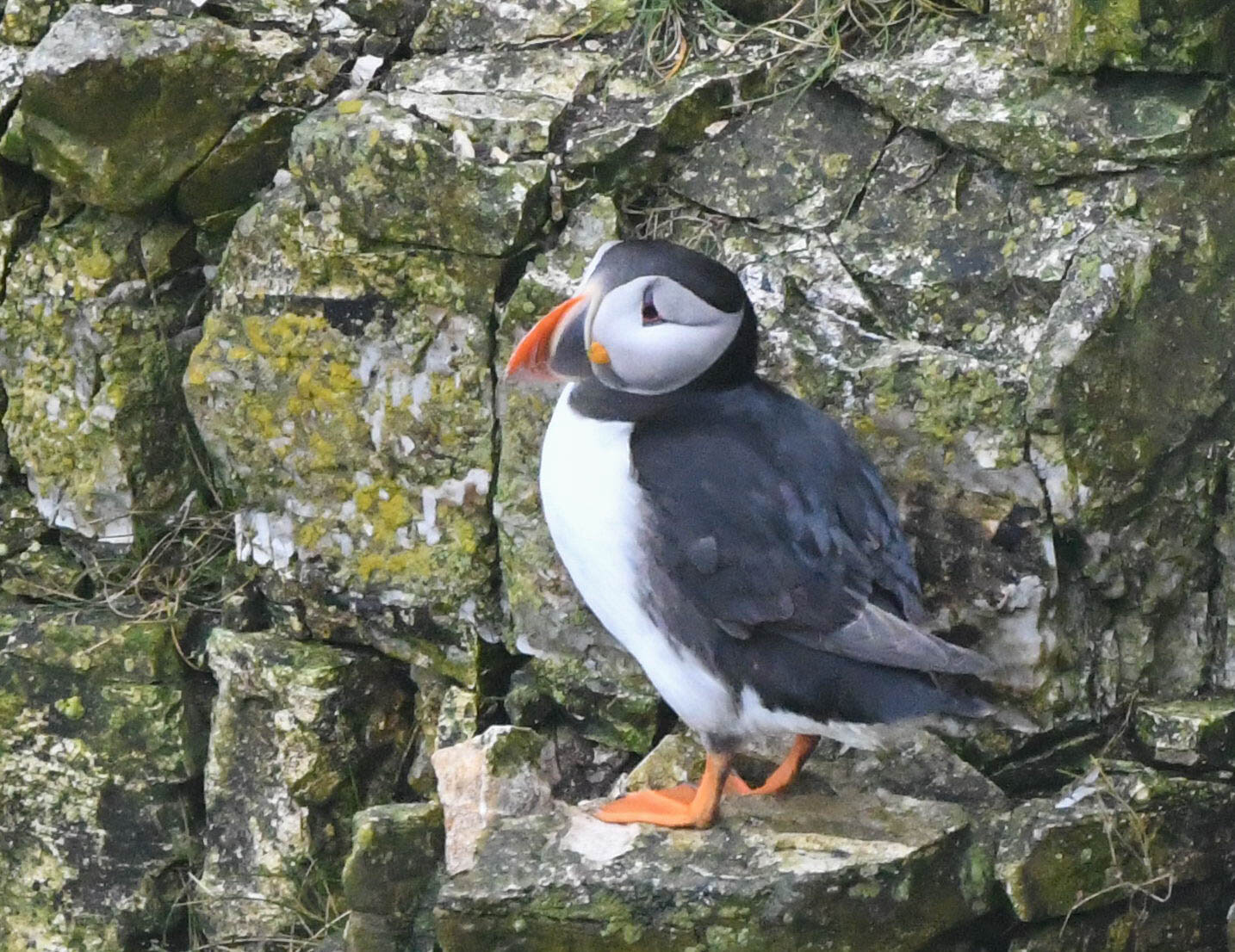
Pulling into the car park at Bemton Cliffs the windscreen wipers were on their fastest setting, but there was no way a bit of rain was going to stop us. So once the waterproofs were on, we headed out towards one of the many viewing platforms. If you have never been to Bempton Cliffs before, it is highly recommended as there are approximately a quarter of a million sea birds on the cliffs or circling over the sea, and a sight that will impress anyone. At the very first platform whilst scanning the cliffs with my binoculars a little orange beak popped out from behind a rock not far away from me. I managed to grab a few decent shots before it was bullied off its perch by a Razor-bill and it flew off out of sight. Immediately checking the camera I was quite chuffed with the result. Mrs P was happy that she had seen one and retreated back to the shelter of the warm van leaving me to wander the cliff tops with my camera. A couple of hours went by, and by the time I returned to the van the rain had stopped, I had dried out and had a few decent images of various birds.

We then headed down into Bridlington for some fish and chips, followed by a shortish walk around Flamborough Head, and as we pulled into the light house car park there was a flurry of men in camouflage gear with cameras with long lenses. They were looking for a Hoopoe that had been sighted about an hour earlier, but the location of the sighting was too far away for a belly full of fish and fried potatoes. We then retreated back to the van and found somewhere to park up overnight, which is easier said than done as the local council have really tightened up on overnight parking. So my secret overnight parking place will remain a secret.

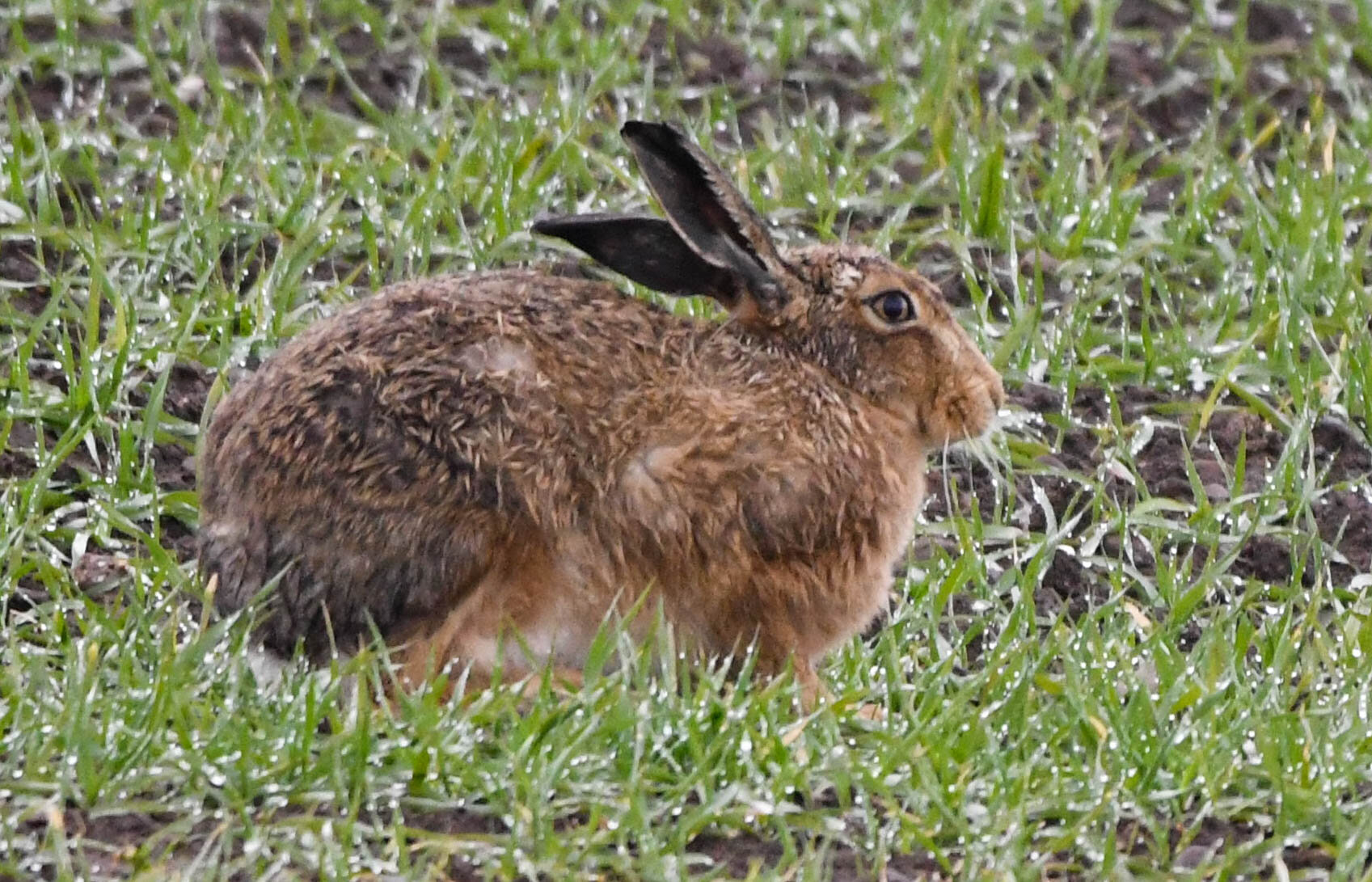
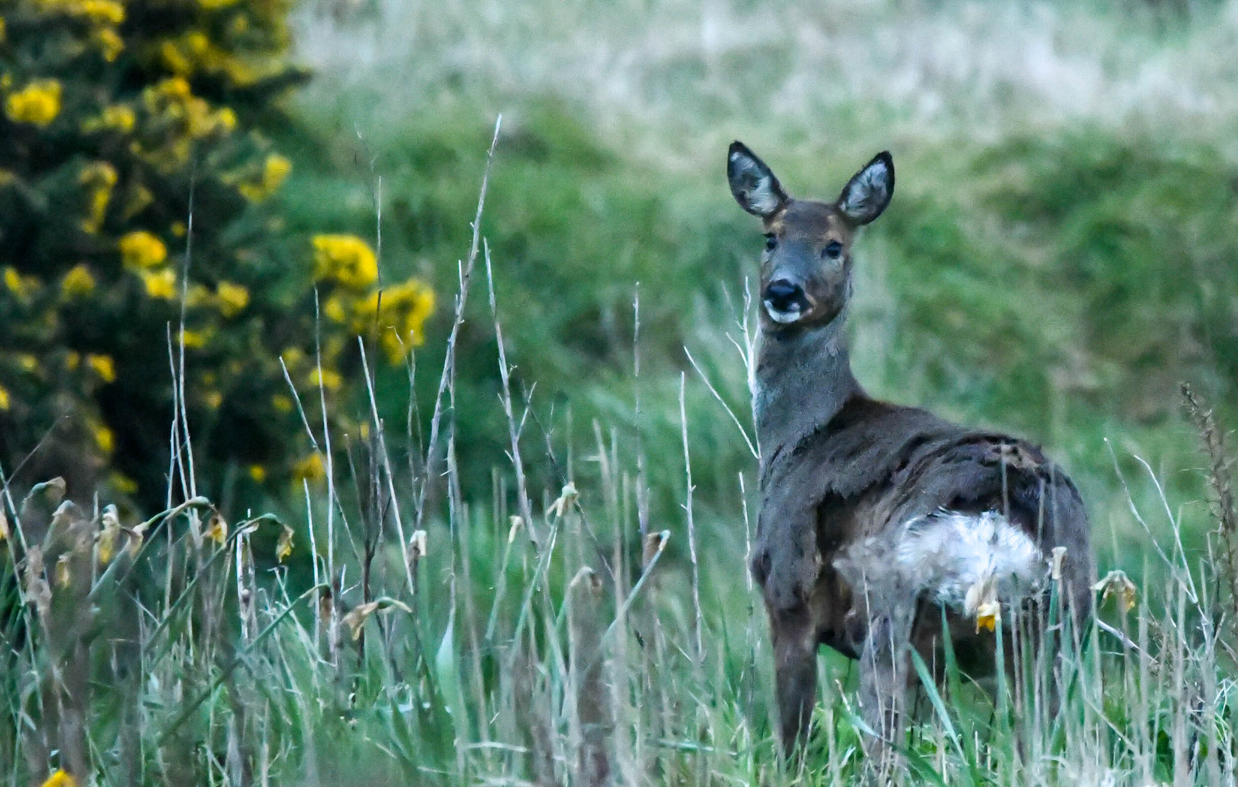
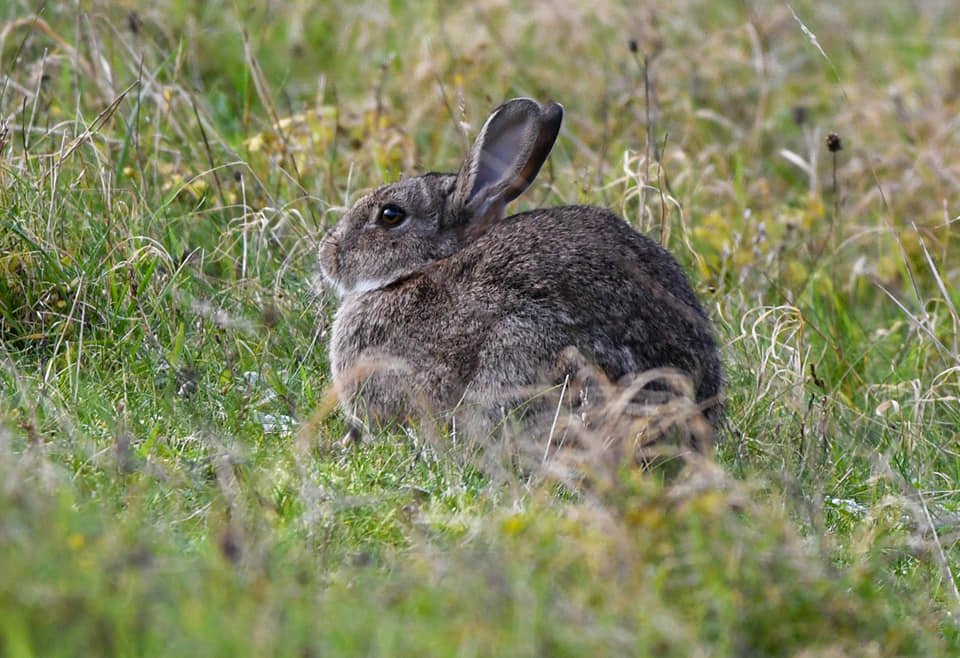
The following morning, and an early start and we returned to Bempton Cliffs. I was hoping to see a Short Eared Owl or Barn Owl hunting over the Southern fields, but instead found a Kestrel sat in a tree, that refused to entertain whilst I was there. A deer and a Hare being the highlights of this visit.

We then relocated South to Hornsea to check out a caravan site where Mrs P is having a girly weekend in the near future. Once she was happy that she had checked everything that required checking (pubs, shopping) we were heading South again to another one of our favourite places Spurn Point.

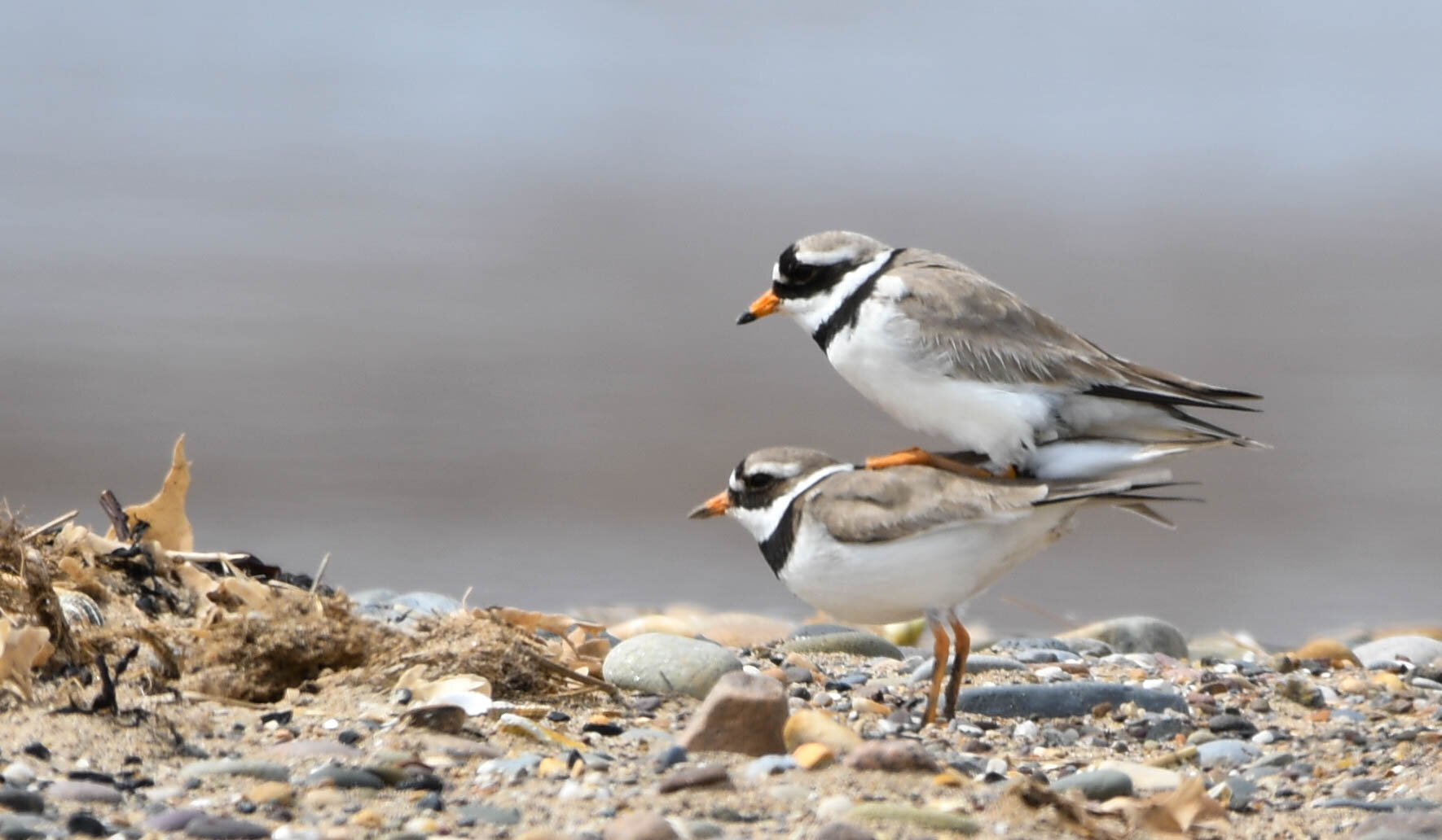
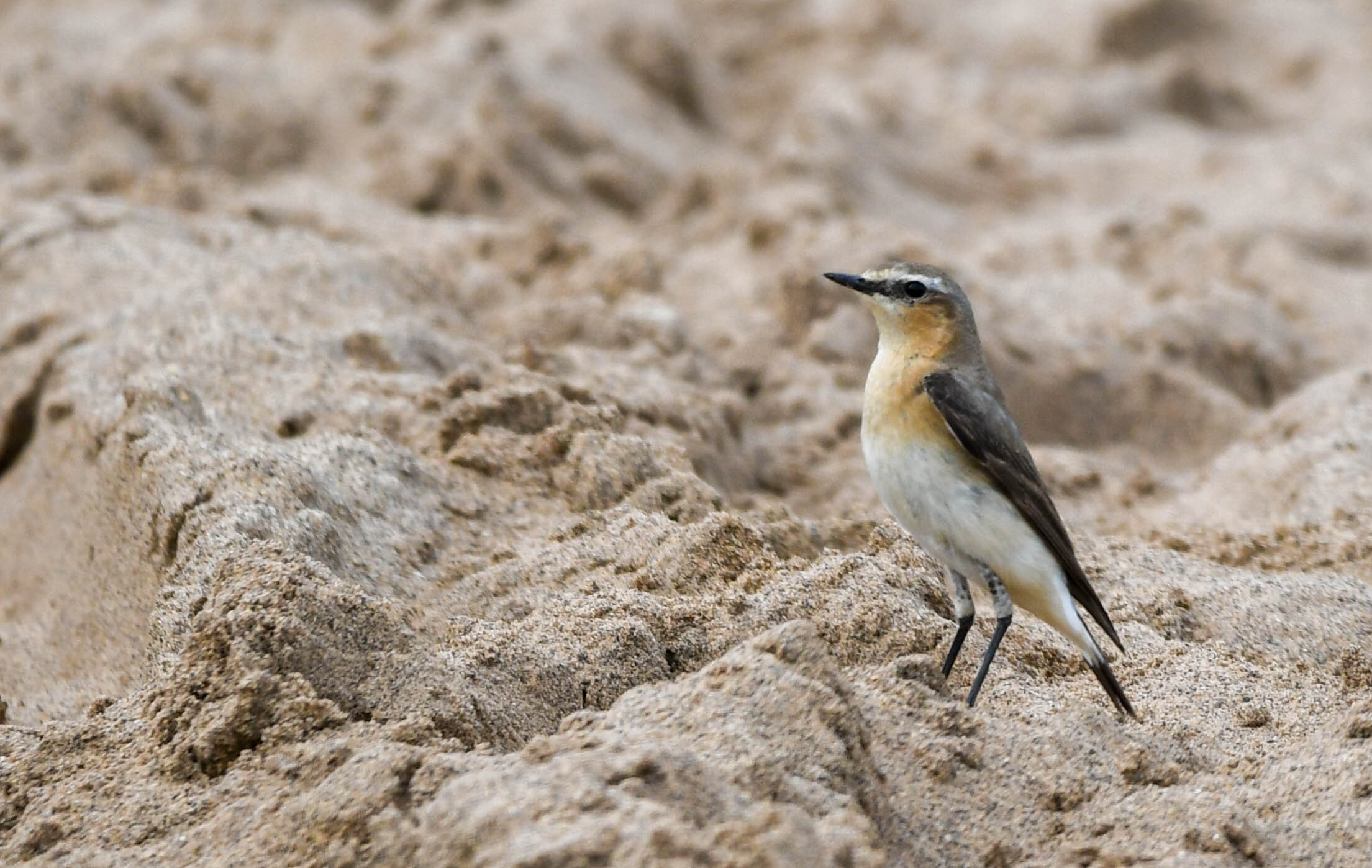
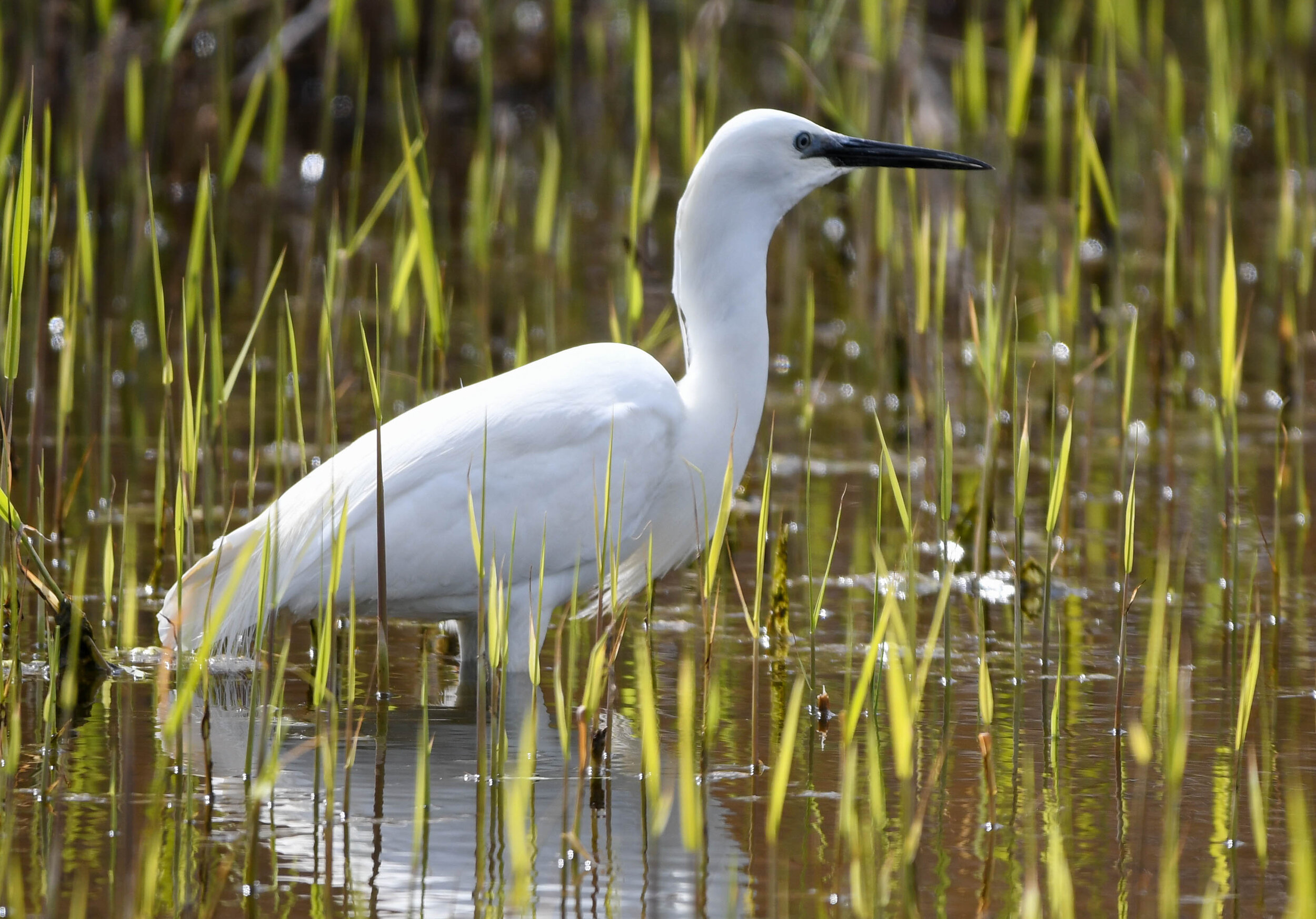
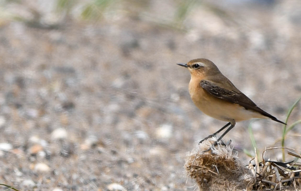
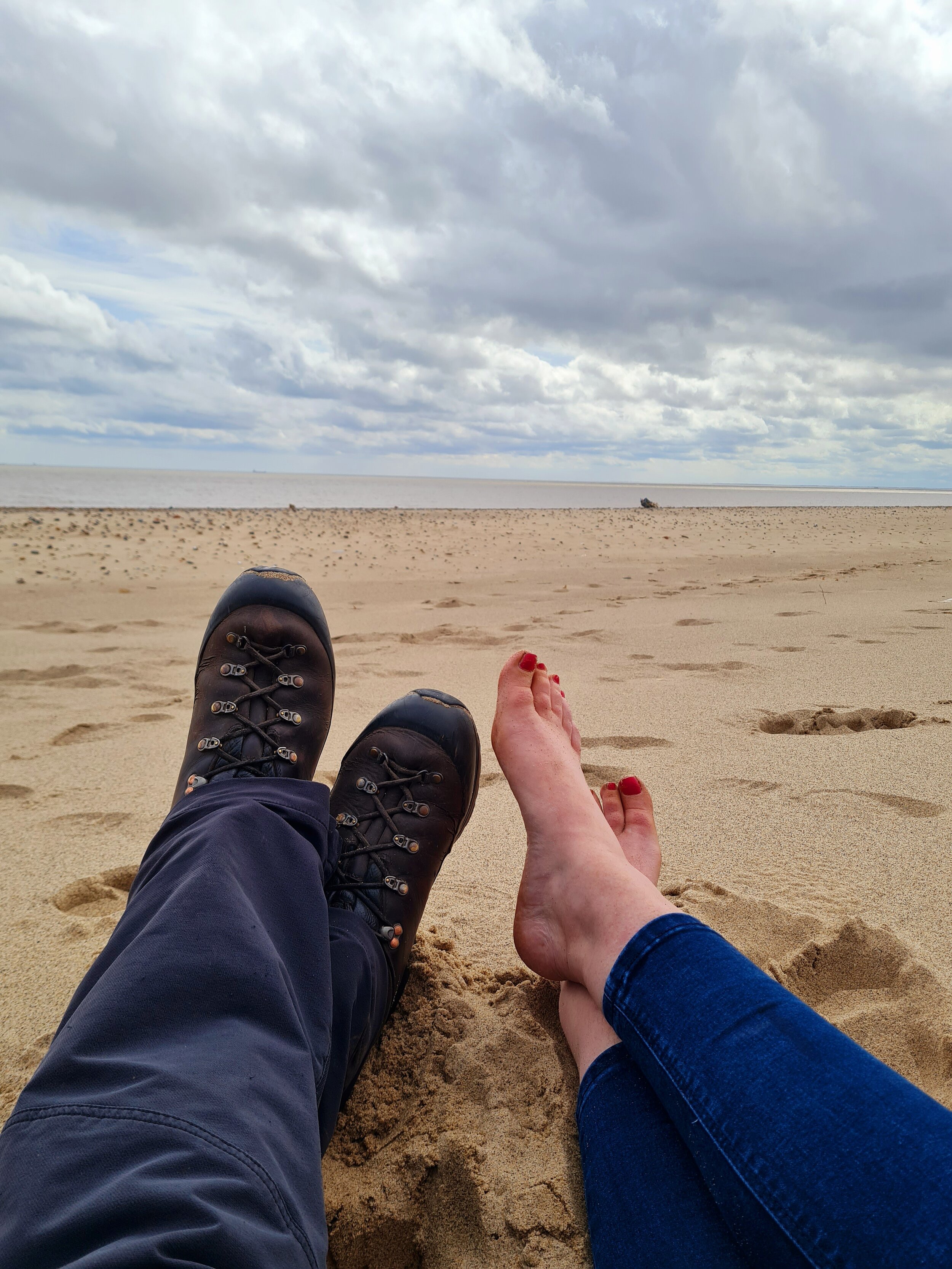
By now the clouds had cleared and we had prolonged spells of glorious sunshine, so whilst Mrs P soaked up the rays on the beach I went off in search of feathered subjects with the camera. Spurn Point is a key spot for migrating birds and there are plenty of species on show, the highlight for me was a couple of Ringed Plover mating, but admittedly I did feel a bit of a perv photographing them in the act. A few Wheatear and a Little Egret also made the trip worthwhile.

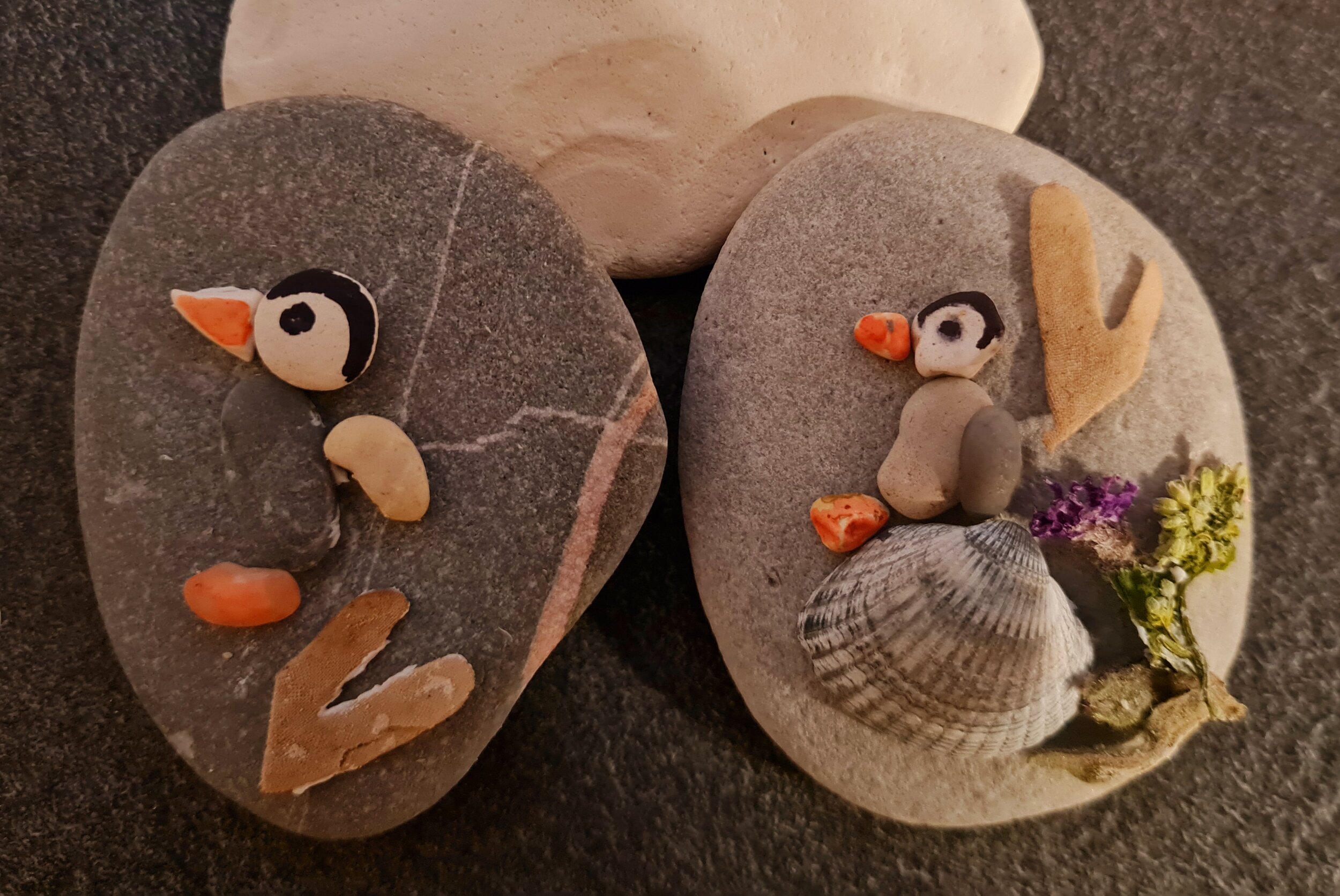
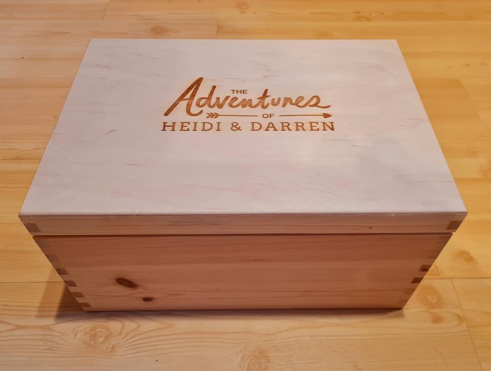
So what looked like being a wash out of a weekend, turned out to be a good photography trip with some decent images and a couple of photos, along with some of Mrs P’s stone art Penguins that will go in our ‘Adventures of Heidi and Darren’ memory box.

Making the most of the weather

Over the last couple of weeks we have had some unusually pleasant weather with a very welcome high pressure system over the UK. So not wanting to miss out I’ve headed North to the Lake District National Park 3 times over the last few days.

My first trip North was with Andy Beavers (who has an excellent wild camping You Tube channel - click here for link) . We suspected it was going to be a busy weekend in the Lakes, so we opted for a route away from the busy main areas and picked a route in the Northern Fells. An early start, followed by a 2 hour drive North and we were the first car into the car park at Peter House Farm (NY249323). Boots on and a quick kit check and we were on our way up a land rover track up to Black Nettle Hause. Just past the waterfalls we turned right and headed up Birkett Edge following the fence line which took us nicely to the summit of Bakestall, and our first Wainwright of the day. A steady plod from here up towards the summit of Skiddaw, listening to the Meadow Pipit, Skylark and Wheatear and were rewarded with some spectacular cloud formations swirling around in the valley below us. At the summit of Skiddaw the wind was gusting up to 40 mph with a wind chill of minus 3 degrees, so we dropped down onto the lea side for something to eat and watching a sheep round up in the distance. Once our stomachs were satisfied we continued South on the ridge line then dropped down towards Carl Side. This was quite a steep section and the old kneecaps were certainly warmed up. At Carl Side we simply followed the ridge line onto Longside Edge and Ullock Pike before dropping back down towards the van. 5 hills in total, and 3 new Wainwrights for my list. The route we took was much better than if we had done it the other way, there were some quite steep sections which we went down and glad we weren’t heading up them from the other direction.

My second trip was with my mate Lee from my Mountain Rescue Team, but this time we were heading towards the North Western Fells after a handful of Wainwrights that neither of us had done before. Another early alarm call, followed by a 2 hour drive and we eventually pulled into the car park at Powter How near to Thornthwaite, where we found one other car in the car park, which showed that these early starts were worth the effort. Boots on and we headed up through the woods passing the white stone rock feature called ‘The Bishop’ and up towards the summit of Barf which was our first Wainwright of the day. Some stunning views from here looking over Bassenthwaite Lake to the North and Keswick to the South. We then followed the obvious path to Lords Seat, onto Broom Fell and then onto the last of the 4 hills on this ridge line Graystones. Here we had a quick bite to eat, before we went and found the nearby spot heights to ensure that we had found Wainwright’s high point. We then headed down towards Scawgill Bridge passing a family with young kids, and credit to the kids were very polite, happy and smiling despite the steep slope they were ascending. We eventually found a forestry commission track which we followed and eventually made our way over the stream that feeds Spout Force and onto the other side of the valley. We then followed a series of forest tracks, stopping briefly to refill our water bottles in a nearby stream. We wanted to find a route up Whinlatter but there was nothing obvious on the map, but luckily we spotted a small pile of rocks at the side of the track (NY192259) and on closer inspection there was a path that was just visible heading up through the trees in the right direction. We took a chance and luckily this small path continued up through the forest and onto the slopes of Brown How which is one of Wainwrights outlying fells. From here we continued on the tops to the summit of Whinlatter Top and our final Wainwright of the day. After a brief stop we followed the faint path East down to the woods, found a track and followed the mountain bike trail down through the woods to the very busy Visitor Centre and surrounding buildings. From here we followed one of the cycle tracks NE which we followed all the way back to Thornthwaite and a short road section to the car park. In all about 11 miles, and some stunning views on the way.

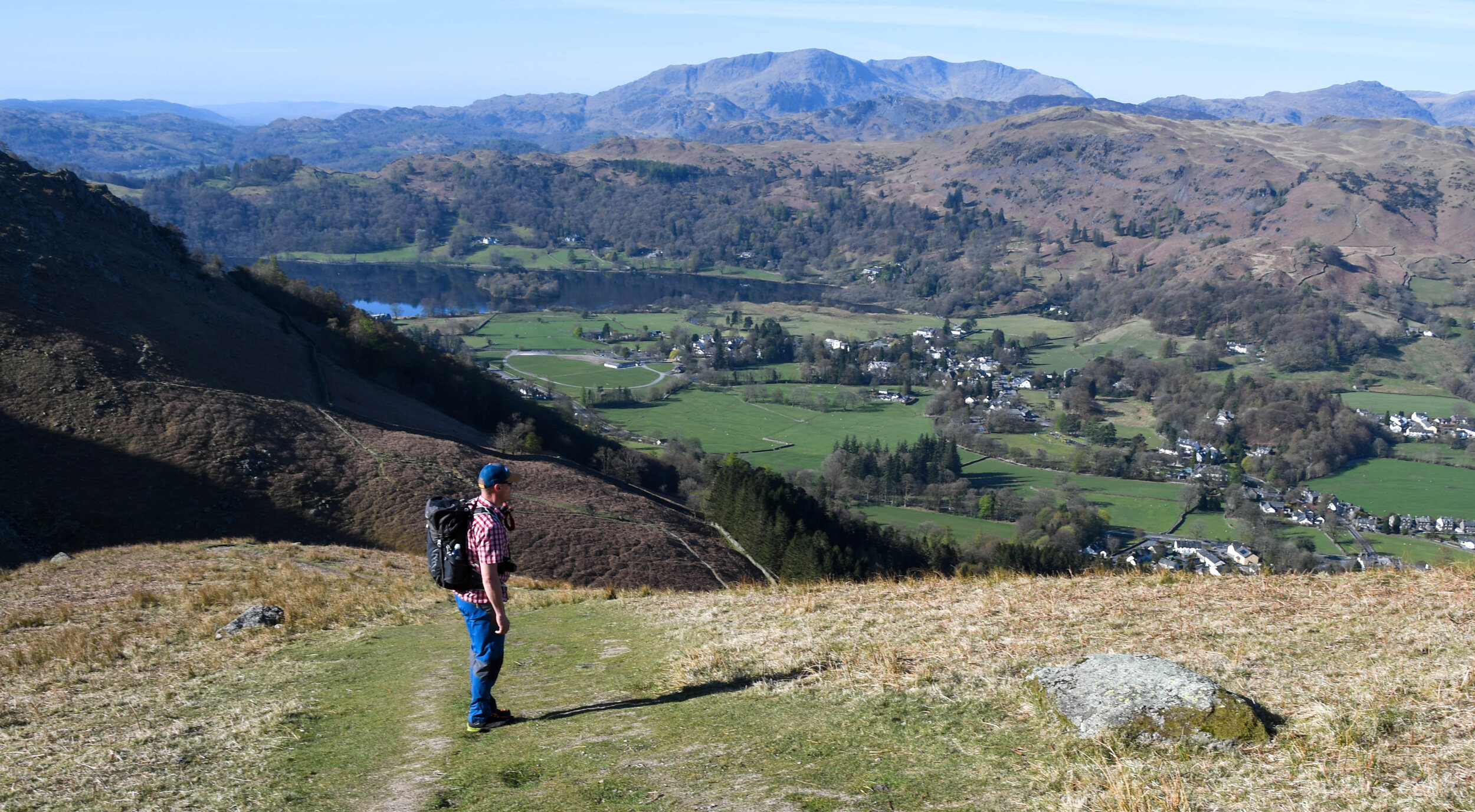
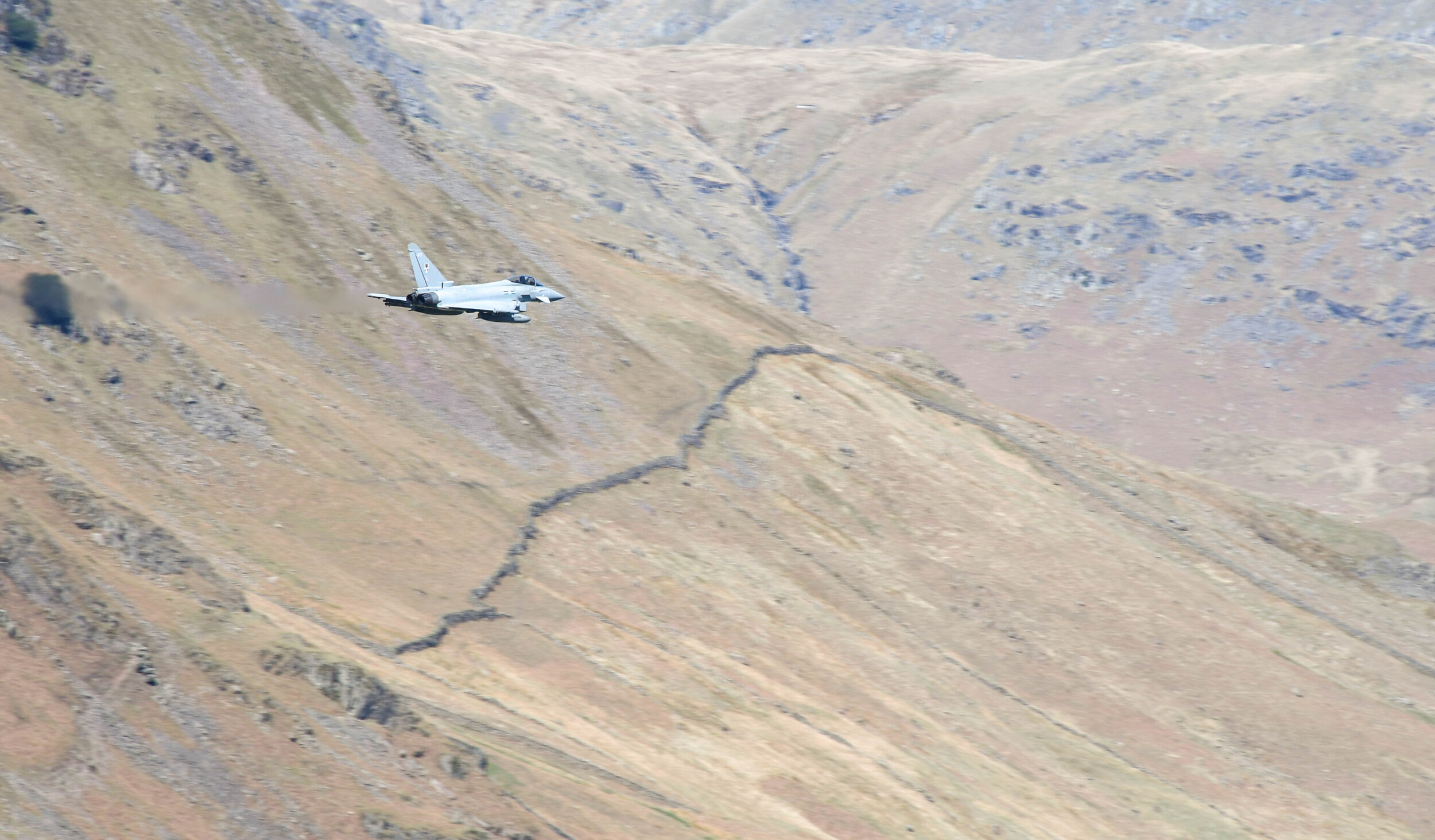
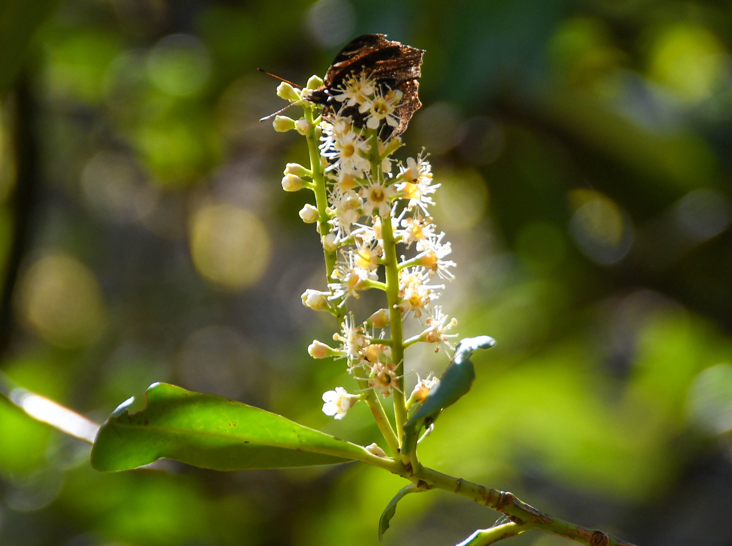
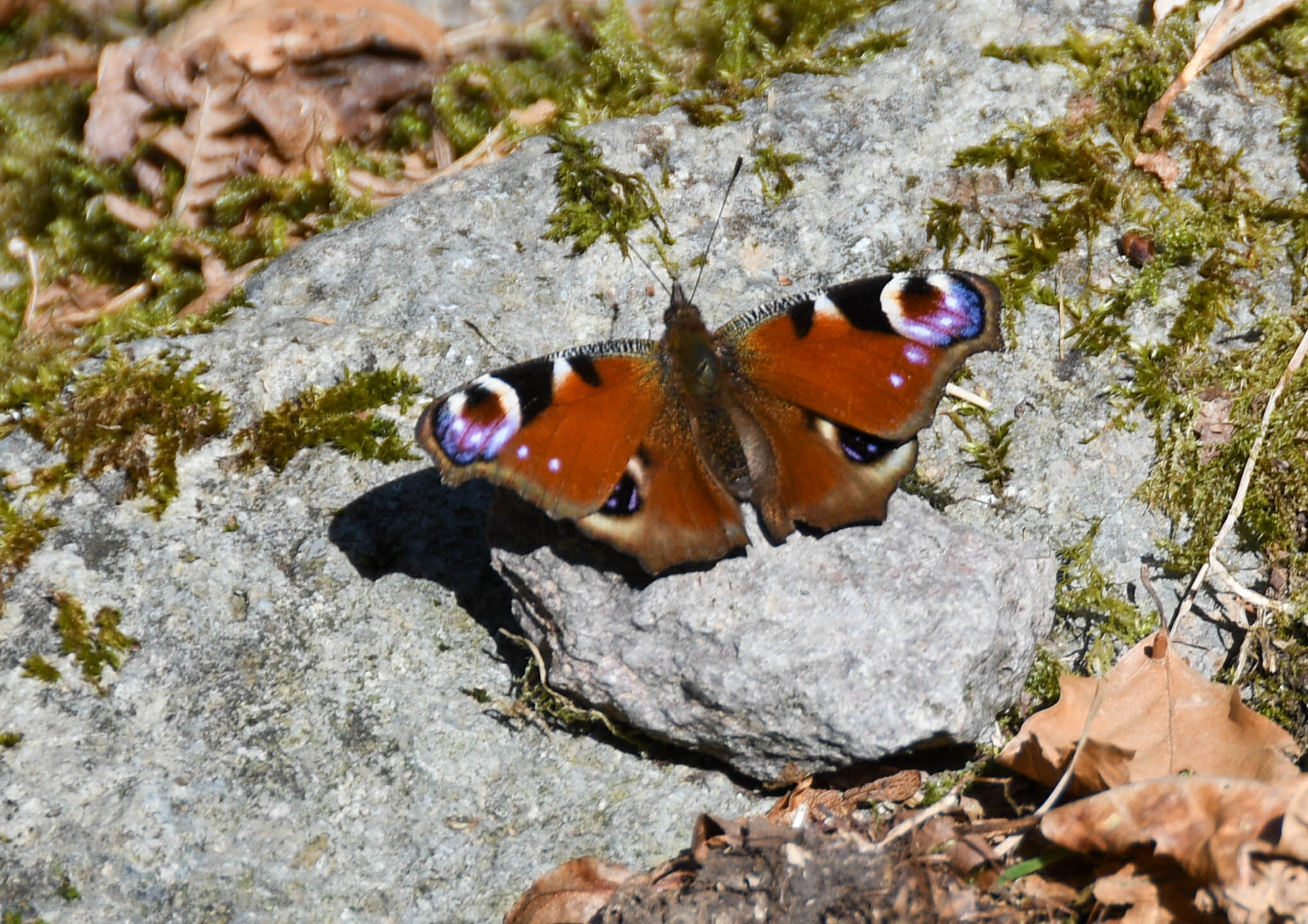
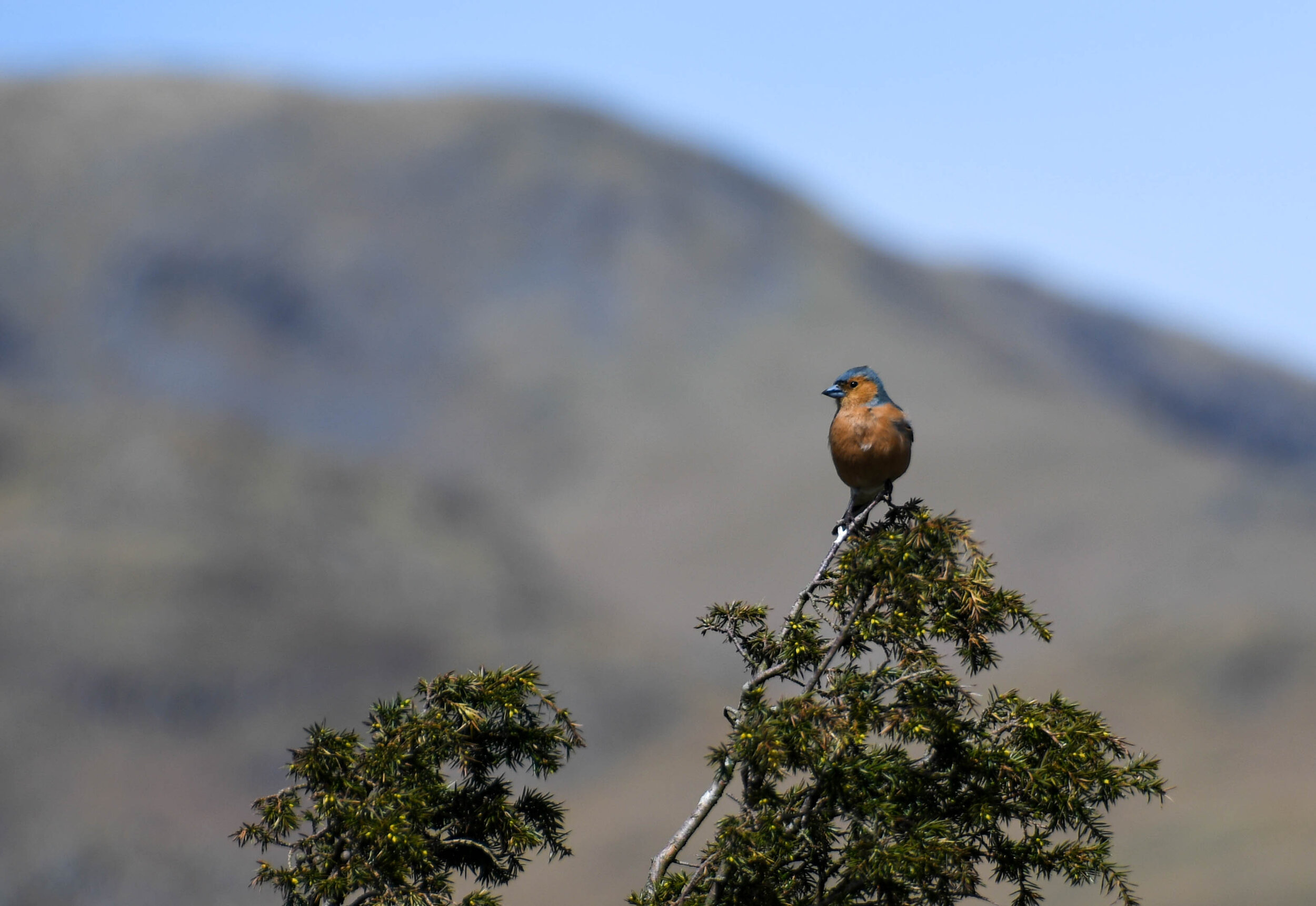
The third trip North was again with Andy Beavers, the plan for this day was to do 3 shortish walks to grab 3 Wainwrights that were on their own. Our first was Stone Arthur which looks like an outcrop of its bigger brother Great Rigg. A really pleasant walk on the way up, stopping for lots of photos with some perfect lighting. On the way up we saw plenty of Meadow Pipit, Skylark, and Wheatear but the highlight of the day for me was a Ring Ouzel sat on the rock at the summit. It clearly wasn’t photogenic, because as soon as I lifted my camera it was gone. We enjoyed the views for about half an hour before heading down. On the way down we were gifted with a display from an RAF Typhoon, and a few less noisy Peacock butterflies.
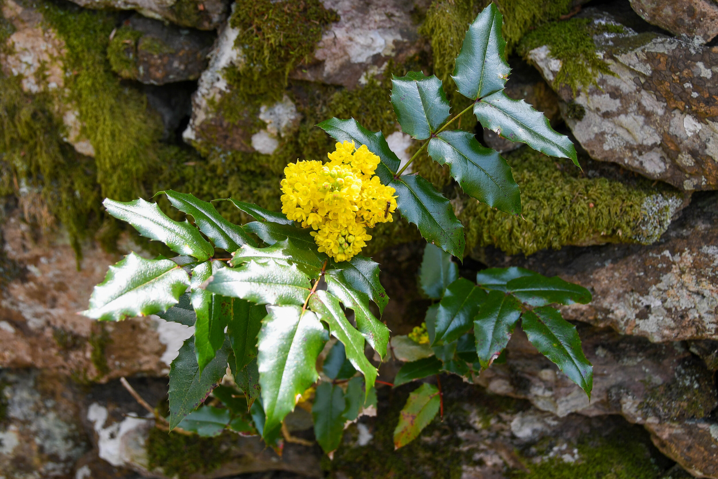
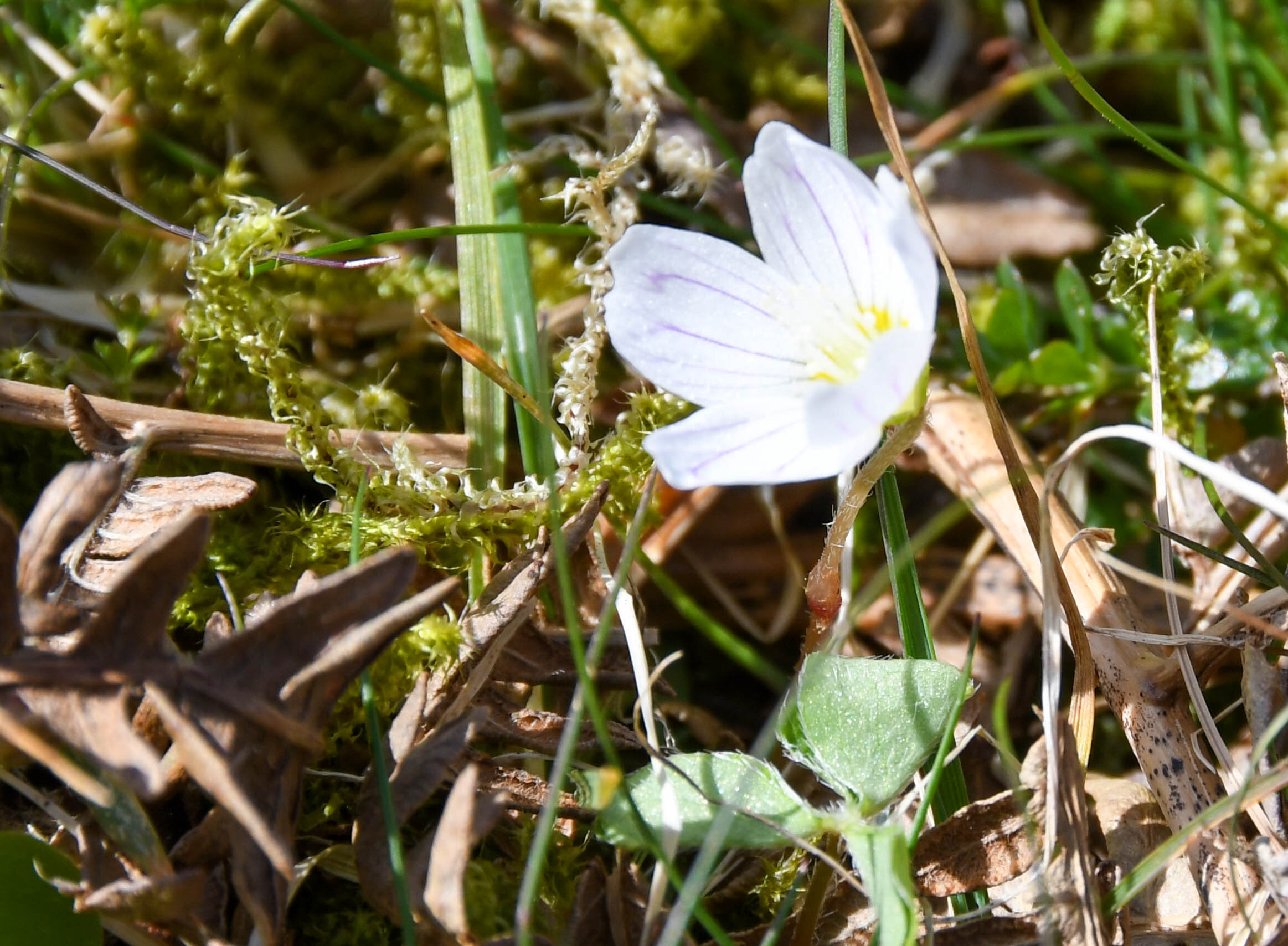
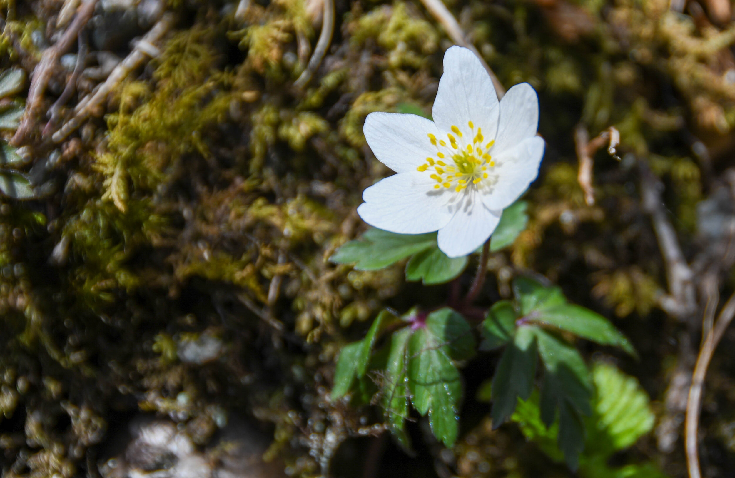
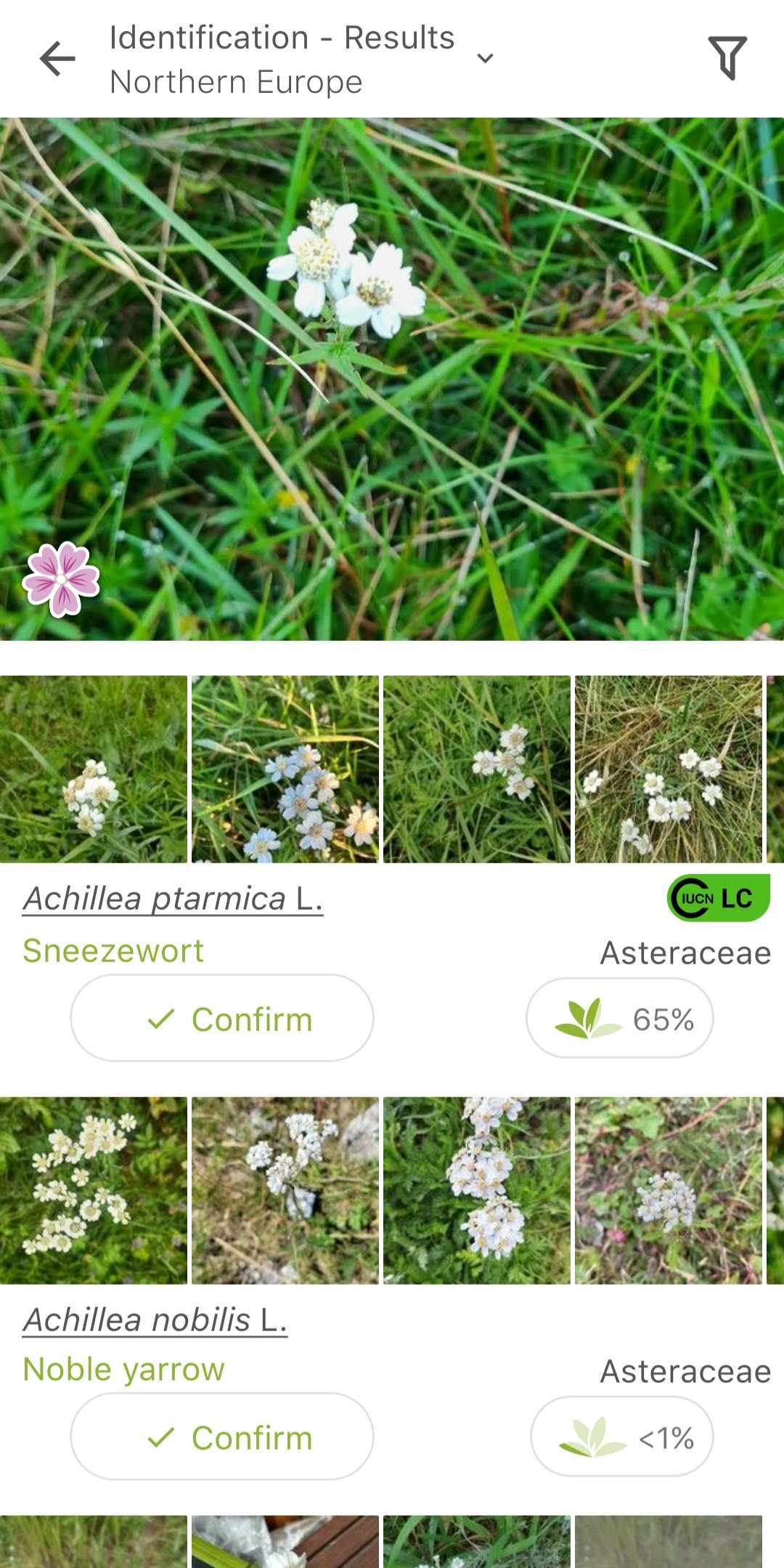
Once back at the van, we relocated a short distance to Grasmere to start our second walk of the day, and as a wildlife photographer this walk had everything. From Grasmere we had a short walk on the road before finding the path that took us up towards Kelbarrow. From the outset there were little flowers and plants everywhere and we took our time to try and identify them. We found a small group of Mountain Grapes and plenty of Irish Shamrock. We made the steep climb up Silver How where took another lunch break and enjoyed the views in all directions. We headed down via the North footpath and at Wray Gill (NY324072) we spent about half an hour exploring the side of the gully walls where we found Primrose, Blueberry, Early Dog Violet, Pink Barren Strawberry, Alpine Butterwort and Wood Anemone. In truth I could have spent hours exploring all the little micro climates in this sheltered gully, but we had to get down and relocate to our third and final walk of the day.
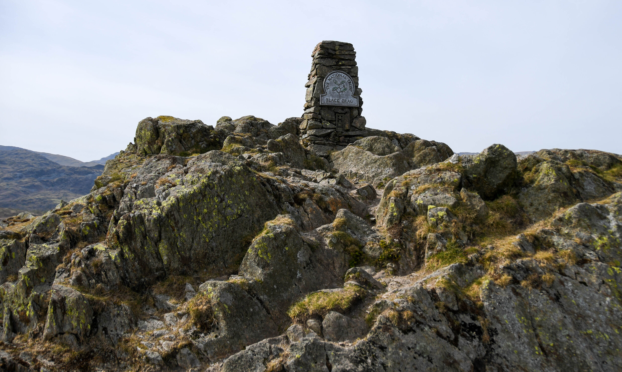
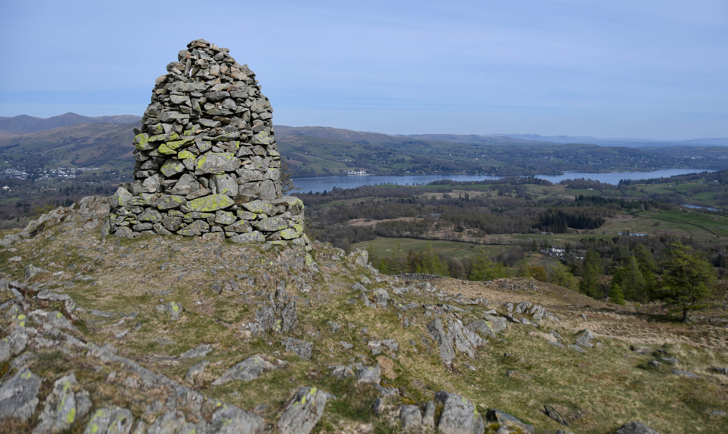
Taking a chance that we could find a place to park, we headed to a little B road to the East of Black Fell and luckily we found a little lay by big enough to fit my van (NY346016). Leaving the rucksacks in the van we headed up through the woods which zig-zaged up the side of the hill. The woods were stunning with Wood Anemone carpeting the forest floor. We eventually arrived at a huge cairn with stunning views in all directions, then only a short walk to the trig point and the summit of Black Fell our third and final Wainwright of the day. We dropped back down to the van via the same route passing quite a few people on the way down.

In all a stunning day out and one of my more enjoyable days on the Lakeland fells. Looking for Flora and Fauna on the second route was fantastic, I saw lots of new plants, but disappointed not to have photographed the Ring Ouzel at the summit of Stone Arthur, but hey ho, guess I’ll have to go back up there.

Peak Bagging

You may well have heard people talking about Munros, Humps, Grahams, Nuttalls, Marilyns, Donalds etc, but what actually are they?  Well, they’re all lists of hills in the UK, there are hundreds of lists, and in this week’s blog we look at the most common ones.

Ticking off these lists is referred to as ‘Peak Bagging’, or ‘Hill bagging’, and yes I have certainly been guilty of falling under the ‘Peak Bagging’ spell, particularly the Wainwrights. With only a few to go before I’ve bagged them all (not everyone’s favourite term), I can concentrate further North on the Munros.

One of the positives about ‘Peak Bagging’, is that it can take you to some fantastic places that you may not have ventured out to in the first place, and if it requires a tick list to get someone out into the great outdoors which is surely good for the body and mind, then that has to be a good thing doesn’t it. But are people so obsessed with ticking off as many summits in day that they are missing out on some of the views, local history, wildlife and geographical features etc. I can’t really complain as I have been one of them, head down with the must get up that next mountain mentality, but I am determined to head back to them hills and take my time on my second time around :)

Anyway enough of my rambling, excuse the pun, here are the most common lists of hills, starting with the big boys of Scotland, and don’t be surprised if you see a hill or mountain on multiple lists.

Munros - A Munro is a mountain in Scotland over 3000 feet which is on the Scottish Mountaineering Club official list of Munros. There are 282 of them and they’re named after Sir Hugh Munro, who first catalogued them all in 1891. There are roughly 7000 people that have climbed them all, and a legend called Donnie Campbell recently completed them all in less than 32 days.

Wainwrights - Hills or Mountains in the Lake District that Alfred Wainwright wrote about in his excellent 7 volumes of the ‘Pictorial Guide to the Lakeland Fells’, and there are 214 of them. Wainwright did not have any rules about what should be included in his guides, and they cover everything from the lofty Scafell Pike to the lowly Castle Crag. Wainwright bagging is probably the most common hill bagging in England.

Scafell Pike in the Lake District National Park is a Marilyn, Hewitt. Hardy, Wainwright, County Top, and Nuttall.

Scafell Pike in the Lake District National Park is a Marilyn, Hewitt. Hardy, Wainwright, County Top, and Nuttall.

Corbetts - Hills or Mountains in Scotland between 2500 feet and 2999 feet, with a drop of at least 500 feet on all sides (making them a subset of the Marilyns), and there are 222.

Marilyns - Hills or mountains with a drop of at least 150 metres on all sides, and there are 2010 of these.

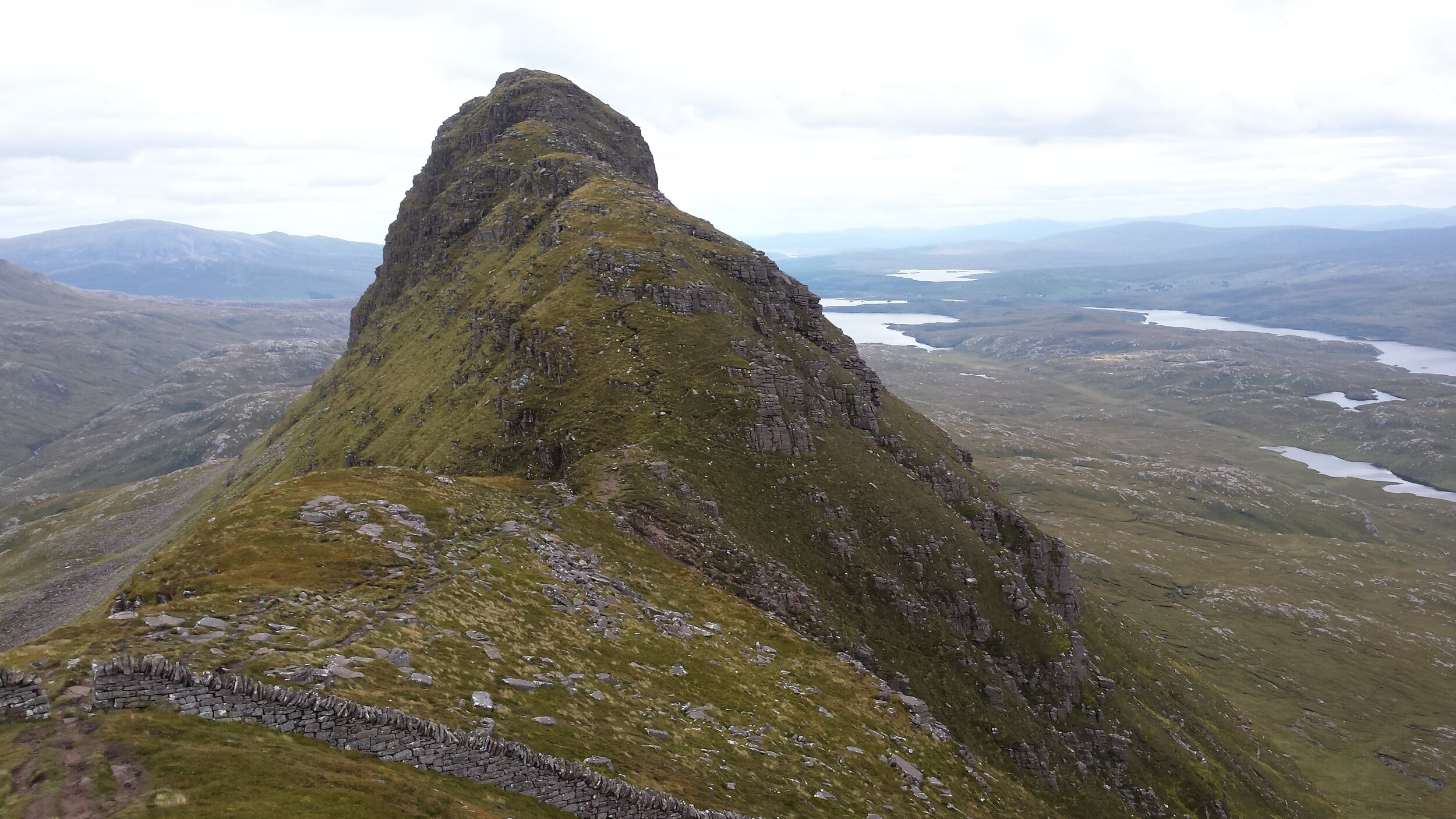
Suilven at 2398 feet in the West of Sutherland is both a Graham and a Marilyn.

Suilven at 2398 feet in the West of Sutherland is both a Graham and a Marilyn.

Hewitts - Hills in England, Wales and Ireland over 2000 feet with 30 metres drop on all sides, of which there are 525.

Birketts - 541 hills in the Lake District over 1000 feet listed in Bill Birketts Complete Lakeland Fells book.

Humps - 3818 hills of any height with a drop of at least 100 metres or more on all sides. The name Hump comes from ‘Hundred Metre Prominence’, and therefore by the definition, all Marilyns are Humps. The Humps of Scotland were catalogued in 1989 by Dr Eric Yeaman, but then the Humps of England and Wales were added and these were christened ‘Yeomans

Grahams - 219 hills between 610 metres and 761 metres high, with a drop of at least 150 metres all around. Scottish hills in this range were originally called ‘Elsies’ which is short for Lesser Corbetts.

Nuttalls - The 443 hills and mountains listed in the book ‘The Mountains of England and Wales’, written by Ann and John Nuttall (includes all the Hewitts)

Ingleborough in the Yorkshire Dales is a Marilyn, Hewitt and Nuttall.

Ingleborough in the Yorkshire Dales is a Marilyn, Hewitt and Nuttall.

If you’re confused by these lists then have a look at Deweys, Donalds, Tumps, Synges, Dillons, Clems, Hardys, Archies, Murdos, then you will be really confused.

There are numerous websites where you can tick off hills on your lists,and log your progress. The most popular are https://www.hill-bagging.co.uk/ and https://www.haroldstreet.org.uk/

Early bird or night owl?

I must admit, I have a bit of a weakness when it comes to a sunrise. I have been known to get up in the middle of the night, drive up to the Lake District, and hike up a mountain in the dark, all to watch the break of day from the top of a hill.

There are of course some benefits to this compulsion; there is less traffic on the roads, and empty car parks, so it’s easier to park. But the fact that I have the mountain and the dawn chorus all to myself, has got to be one of the biggest perks. Even the ‘Father of the National Parks’, the great John Muir once said “How glorious a greeting the sun gives the mountains”, so I’m not on my own when it comes to getting up early just to watch a sunrise.

So why does the wife look at me like I’m stupid when I’m walking out at midnight with my rucksack on? Anyone that knows Mrs P, knows that she is definitely a night owl, and even though she has accompanied me up mountains in Norway at silly o'clock in the morning to watch the sunrise from Pulpit Rock, she definitely prefers a nice sunset instead. Apparently it’s a lot more civilised, sociable and relaxed, there’s no silly alarm clocks, there’s more colour in the sky, and sunsets in the Parkinson household usually involve some wine. Admittedly we have watched some fantastic sunsets together in some stunning locations trying to catch that elusive green flash as the last rays disappear over the horizon, and although I have enjoyed these sunsets immensely, the ‘early bird catches the worm’ proverb still holds true to me.

There is no better feeling than the first rays of the sun coming over the horizon and lighting up the scene in front of you, it has a positive effect on your wellbeing for the rest of the day, but that may also be down to the fact that I’m actually out walking.
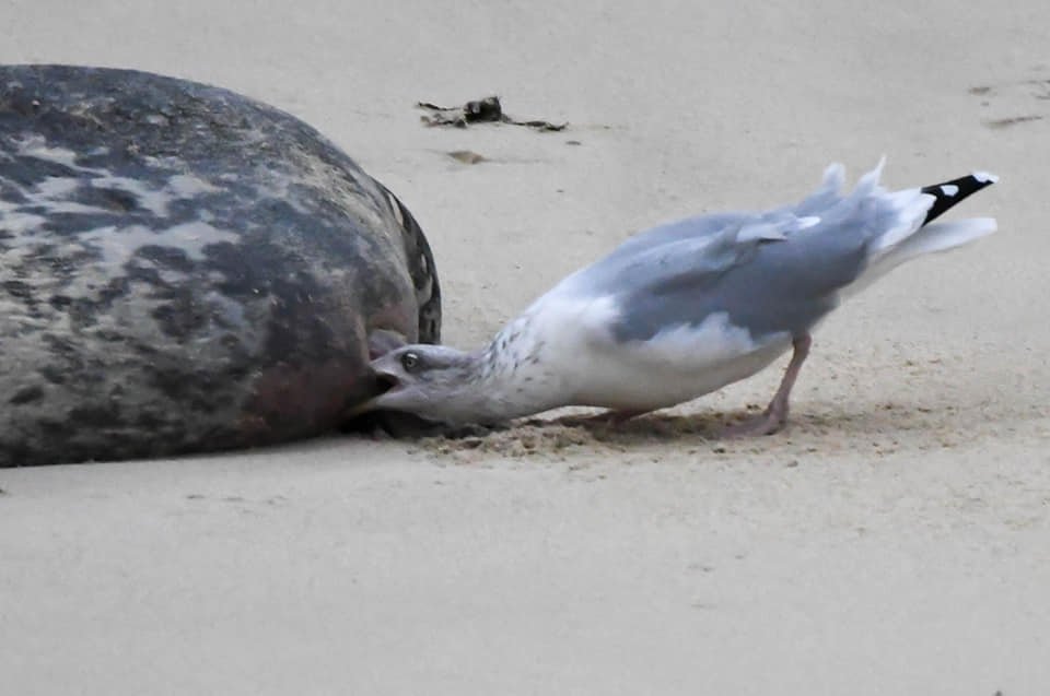
My passion for photography may also have something to do with it. There are less dust particles in the air first thing in the morning, so no heat haze that you get later in the day. There are no people wandering around in your scene, and in winter the snow is still frozen and easier to walk on. If I decide to visit the coast for a sunrise photo then the overnight tide has cleaned the beach of any unsightly footprints in the sand making it my preferred option. Of course Mrs P would argue differently, but which one of us is right, sunrise or sunset?

IMG_20210216_074706_742.jpg

What's on your doorstep - Nature Reserves

A Nature Reserve is an area where animals and plants are protected and undisturbed, and we are lucky enough to have a few in the Huddersfield area.

My local one at Dalton Bank has a small car park that fits about a dozen cars, and has a good mixture of wildlife, flaura and fauna.

To extend your walk around the Dalton Bank Nature Reserve there is a footpath alongside the River Colne, where we have seen Roe Deer, American Mink, Kingfisher, Buzzard, Grey Wagtail, Grey Squirrel and Green Woodpecker. For more details on our extended 3 mile route visit:- /dalton-bank-nature-reserve

Another of the Nature Reserves in the Huddersfield area is at Upper Park Wood near Honley which is a bit more difficult to get to but still worth a visit. Again we have seen Roe Deer there, plus a wide selection of trees, flora and fauna.

Thunder Bridge Meadow is very pleasant but has limited parking in the valley, so it’s worth parking on Wood Lane (Boothroyd Woods) and including the woods in your walk down to the meadow. This means a bit of a climb back up through the woods to get back to your car, but it will help keep you fit. In the meadow is a good variety of plants, you may also see Mallard, Grey Heron, Pied Wagtail, Dipper and if you’re lucky you may see the resident Barn Owl.

Stirley Community Farm near Castle Hill is run by Yorkshire Wildlife Trust. There are some decent short walks in the area, and the farm itself has restored an old barn into an education facility, built a food garden, planted an orchard, introduced bee hives and provides conservation training for young people. https://www.ywt.org.uk/places-visit/flagship-sites/welcome-stirley-community-farm-huddersfield

Further afield at Brighouse, the Cromwell Bottom Nature Reserve attracts lots of visitors, and it also has some feeding stations which attracts dozens of species of birds. There is also a small seating area for the budding wildlife photographers amongst you, and outside of lock down is definitely worth a visit. https://www.calderdale.gov.uk/v2/residents/leisure-and-culture/parks-and-open-spaces/nature-reserves/cromwell-bottom-local-nature

Marsden Moor Estate is probably the largest nature reserve in the area, and is run by the National Trust. On the remote moors you can expect to see Red Grouse, Golden Plover and at twilight look out for Short Eared Owls. https://www.nationaltrust.org.uk/marsden-moor-estate

Other Nature Reserves just outside the Huddersfield area include Pugneys Country Park, Newmillerdam, Seckar Woods, Bretton Country Park, and although Ingbirchworth Reservoir isn’t a designated Nature Reserve it needs a mention. Ingbirchworth has some bird feeding stations, a little picnic area off to one side where Yellowhammer and Tree Creeper have been spotted, and with various Gulls, Divers and Grebes visiting the water, it is definitely worth a mention. 

These Nature reserves provide an opportunity to spend some time in a green space which can benefit your mental and physical well being. Even spending 5 minutes observing and interacting with wildlife in their natural environment, can improve people's feelings of wellbeing, and connection to nature. 
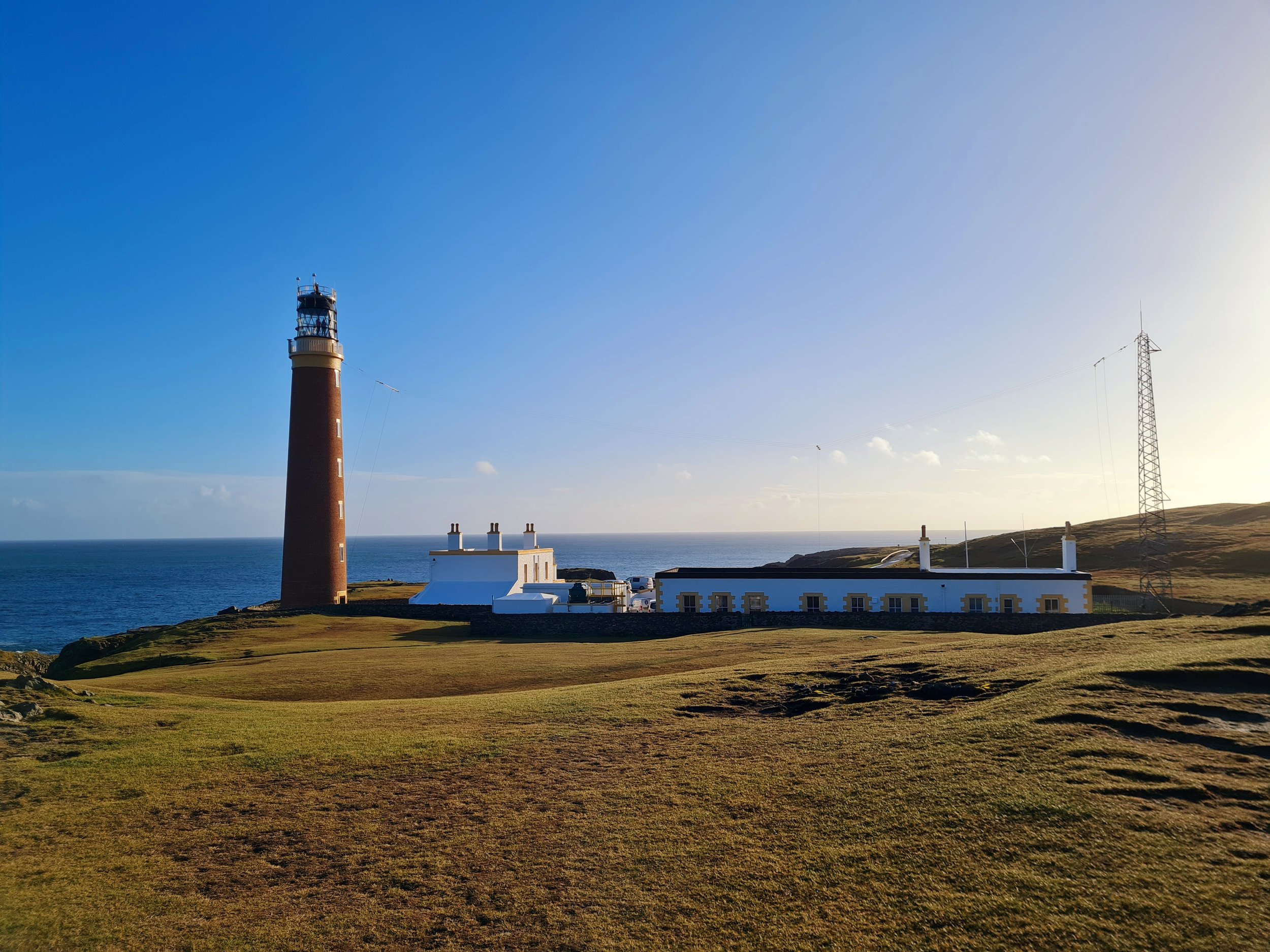
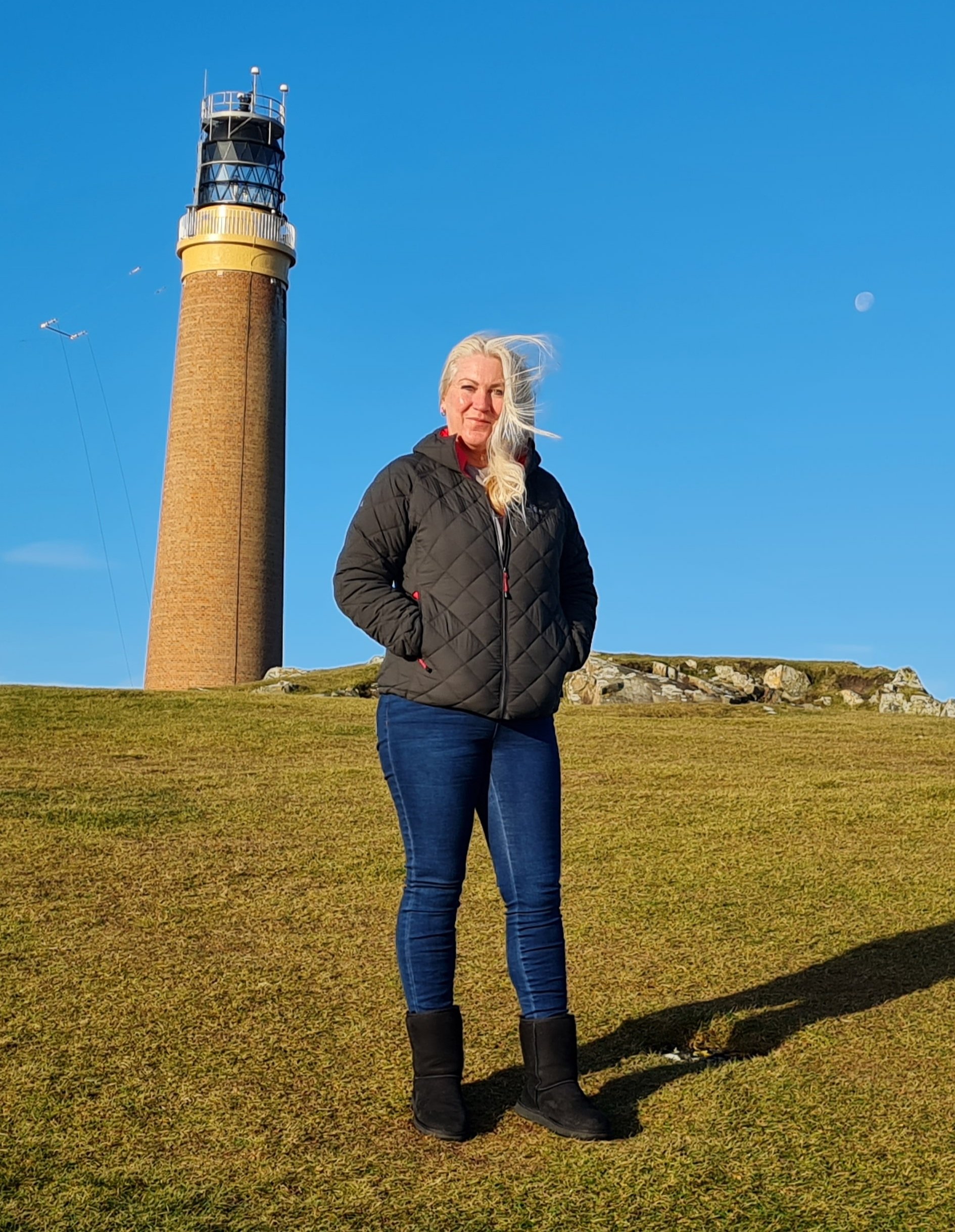
Nature Reserves are also a great way to introduce the kids to the outdoors, you could download one of our Nature spotters sheets as a homeschooling lesson, or have a look at our top tips for walking with kids for some ideas on how to keep them entertained during walks. 

Screenshot_20210126-201454_Office.jpg

Not being able to travel to my beloved mountains in Scotland because of lock down, has certainly put a damper on things, but these green spaces, some of which are right on my doorstep have been an entertaining distraction for me and there is plenty to see.

What's on your doorstep - Holme Valley Circular Walk

Part 3 of our ‘What’s on your doorstep’ series.

Yesterday I walked the Holme Valley Circular walk which is a 24 mile circular walk around the Holme Valley, and with over 4000 feet of ascent, it is similar in height and distance to the gruelling Yorkshire 3 Peaks.

The beauty of this walk is that it is right on our doorstep and doesn’t require a 2 hour drive to the Yorkshire Dales, but it is as equally as stunning and challenging as it’s more famous cousin.

Our walk route started and finished at Castle Hill, but as it is a circular walk it can be started anywhere really, and can also broken down into sections if the whole 24 miles is too difficult.

There are some stunning sections on this walk, from Digley Reservoir to the woods at Hades, and there is also a good variety of wildlife on offer. The highlight of yesterdays walk was a couple of Roe Deer near to Digley, but typically I didn’t have my big camera and had to make do with the phone.

The route is a bit muddy at the moment, but is perfect for a long lock down stretch of the legs. So if you’re looking for a challenge, save yourself 4 hours driving and try this walk which is right on your doorstep. The only down side of this walk, is that the route isn’t well sign posted, and regularly merges with the Kirklees Way. The route is marked on the OS maps and your navigation needs to be spot on, or you can use our detailed route description on our website using the link below.

What's on your doorstep - Pathways Well-being Walks

A couple of weeks ago we came across this ‘Pathways Well-being Walk’ sign on one of our walks.

20210123_134411.jpg

Obviously, curiosity got the better of us, so we started trawling the internet just in case we were missing out on a decent walk. What we found, was a series of pathways on the Kirklees Council website, everything from short easy walks to longer difficult 10 mile walks that we hadn’t even been aware of.

Some of the shorter walks are clearly designed for people who are recovering from illness or injury, with some of the longer walks more suitable for the experienced walker. There are literally hundreds of these walks around Kirklees, and some are likely to be right on your doorsteps.

There are also a number of cycle trails, with online maps available to download and print.

https://www.kirklees.gov.uk/leisure/countryside/routes/

So why not give some of them a go, have a look and see if there’s anything near you that you can walk on your daily lock down exercise.

Honley woods.png
14206219_579377842222981_9064483431391212275_o.jpg
images (2).jpeg
images (3).jpeg

What’s on your doorstep - Orienteering courses

Orienteering is a great way of getting your daily exercise during lock down and also ensures a good dose of Vitamin N (Nature). If you are homeschooling at the moment, it's also a great way to get the kids out of the house, and to teach them some valuable new life skills.

The aim of orienteering is to try and navigate around a series of checkpoints, also known as controls, on a course using a map and compass. There is no set route, and it is up to you as to which order you visit the checkpoints. Anyone can try it, you don’t even have to run the courses, you can walk the course and take as much time as you want. 

It is a great activity for families, the kids will love finding the checkpoints, and many of the park courses are suitable for prams and wheelchairs.

All you need is a basic compass, a pencil, and a map of the course. Some of the courses can be found online and then printed off at home, but also bear in mind that some courses may charge a small nominal fee for the map download. 

20210119_104732 (1).jpg

There are hundreds of courses dotted around the UK; some have more difficult terrain, but most towns will have easier orienteering course in some their larger public parks.

Click here to find out if there is a course near you. https://www.britishorienteering.org.uk/pocs

There are three orienteering courses near Huddersfield at Beaumont Park, Greenhead Park, and one a little further afield at Newmillerdam, Wakefield.

Our top tips for orienteering 

  1. Normally you would be able to pick up a map of the course from a nearby leisure centre and visitor centre, but most are currently closed during lock down, so search the internet for the map of the course you’re interested in.

  2. Once you have a map printed off, get it laminated, or find a clear plastic bag or map case to keep it dry. We all know what the British weather is capable of, and you don't want your map turning to mulch halfway around the course.

  3. If you can’t find a compass, try using your phone. Download a free app called OS locate. Open the app and at the bottom you will find a link to a virtual compass. Failing this you can pick up a cheap compass for about a fiver on the internet.

  4. Different orienteering maps have different scales, and orienteering maps are generally 1:5,000 scale or 1:10,000 scale. So that means that on a 1:5 K map 1 mm on the map is 5 metres on the ground, and with a 1:10 K map, 1 mm on the map is 10 metres on the ground.

  5. All the maps will have a legend to show you woods, paths, roads etc, so familiarise yourself with these for your course, as they can vary from map to map.

  6. On your map you should also find a list called ‘Control Descriptions’, this is basically a list of clues for each checkpoint, i.e. Path junction, or wall end.

  7. Most courses have different levels, i.e beginner, intermediate, advanced, but you can tailor how many checkpoints you wish to find to suit your available time and ability.

  8. On the permanent courses you will be looking for different coloured letters or numbers located around the course, on the more professional courses you are looking for an orange and white marker.

download (9).jpeg

How to navigate for beginners

  1. Orientate the map - This means you are turning the map so the features on the map match the features on the ground. Turn the dial on the compass to 0 and put the compass onto the map with the directional arrow pointing to the top of the map, then turn the map and compass around in your hands until the red magnetic needle is also pointing towards the top of the map. You, your map, and your compass should all be facing North now. Its handy to familiarise yourself with the layout of the area and know the directions of North, East, South and West, and it’s also a good habit to get into.

  2. Find your location on the map (park entrance, car park), and find which checkpoint you want to navigate to first.

  3. Place your compass on the map with the edge of the compass base plate running from your location to the checkpoint that you want to navigate to. Ensure that the direction of travel arrow (the big arrow at the front of the compass) is pointing from your location to the target location, i.e the direction you will be travelling.

  4. Turn the compass housing (the bezel dial in the middle of the compass) until the visible orienting lines inside the dial under the magnetic needle are parallel with the grid lines on the map that run from North to South. Ensure the red north/south orienting arrow under the needle is pointing towards the top of the map.

  5. Lift your compass from the map and hold it horizontally in your hand. Turn yourself and the compass until the red end of the magnetic needle is inside the red north/south orienting arrow. The ‘direction of travel arrow’ will point towards your destination. Take note of a landmark in the distance and start moving in that direction.

  6. The compass will give you a direction to start heading, but you may not always be able to walk in a straight line from one checkpoint to another, so look for routes around obstacles such as lakes etc.

  7. To learn more map and compass skills, why not book onto one of our navigation courses www.bootroutes.com/navigation-courses

  8. Or visit the Ordnance Survey or Silva websites for some great free tips and videos to help get you started with your map reading skills. https://getoutside.ordnancesurvey.co.uk/guides/beginners-guides-map-reading/ or https://silva.se/guides/navigation-guide/how-to-navigate/

Walking and Mental Health

Over the past few years I have noticed a significant increase in the number of people suffering from mental health issues, not only at work but also in my social circles too. Unfortunately I have also seen too many people turning to alcohol and occasionally drugs to cope with their day to day stresses. 

My own coping strategy has always been, and always will be walking, it is my drug, it makes me feel better, without it I am like a bear with a sore head, and I have always returned from a good long walk feeling positive and motivated. Even a bad day on the hills is better than a good day in the office. 

Untitled1.png

Occasionally in the past I may have spent a day or two sat on the sofa watching uninspiring crap on the telly. But looking back at these lazy days, all the signs were definitely there:- I found myself staring out of the window, pacing around the house, I was short with the kids, shouting at stupid people on the telly, restless, irritable and suffering from my own version of cabin fever. What I desperately needed was a hill, mountain, snow, woods, moorlands, it didn’t really matter where, I just needed to get out and go for a walk. It didn’t take my wife long to recognise the signs and she would often tell me to get my boots on and get out for a walk.

So if walking worked for me, would it work for other people as well, and the answer to that is a resounding yes. A couple of years ago I took a work colleague for a walk in Snowdonia. My colleague was in quite a bad way with his mental health and even had 2 anxiety attacks in the car on the journey to North Wales. However after a nice long walk on the Welsh mountains, he was a different person, he was buzzing, and the first time for a while he seemed positive and he even wanted to know when we could go again. It was a remarkable turnaround in such a short period of time.

46514562_1022659154561512_7442515103708086272_n.jpg

I quickly realised that I could use my Mountain Leader qualification not to just make some extra money doing guided walks, but also to help others with their mental health issues. Shortly after this trip to Wales I volunteered with my local council to organise ‘Walking for Health’ walks. The council supplied a free training day on how to be a walk leader, and a month later I was running my own monthly walks at Castle Hill, Huddersfield. These walks have been going now for a couple of years and I have met some fantastic folk, and hopefully helped keep a few demons at bay.

Then Mountain Rescue training took up quite a lot of my spare time, but I still managed to take some of my work colleagues out on the occasional guided walk, including one group around the Yorkshire 3 Peaks challenge. In my experience I have found that people away from their office, phone, and family environments are much more likely to open up and talk during a walk. Notably the Y3P group were much more positive after their walk, they bonded better at work, there were more social events away from their workplace, their confidence had grown, and they felt quite good about themselves because they had raised a considerable amount of cash for a local charity. They are now looking for me to plan their next big challenge.

38810220_953836011443827_5229953883605827584_n.jpg

Then more recently, I have joined the ‘Peer Support’ network at work and I have just completed an adult Mental Health First Aid course. This 2 day course has taught me how to identify and recognise mental health and how to help people find the support they need. I am now running a series of monthly welfare walks with staff at work called ‘Walkie Talkies’, and rather worryingly the interest has been overwhelming.

So here I am, a qualified Mountain Leader, with a Mental Health First Aid qualification, and I have found that these two qualifications go hand in hand perfectly. I have also found that by helping others, my own well being has improved.

We all have mental health and just like physical health it needs looking after, my recommendation for anyone feeling the strain at home or work, is to seek help, there are lots of people out there to help you, or you could take my advice and get out and go for a walk, or to join me on one of my stress busting walks. 

Mental Health is out there, it has been a taboo subject for far too long, you can either choose to ignore it, or you can do something to help. I would highly recommend the Mental Health First Aid Course, it has certainly opened my eyes, I am much more careful about the language that I use when discussing mental health issues, and I am also helping to break the stigmas surrounding these matters at work. The main message that I will be sending out, is that there is help available for everyone, and that nobody should be going through any mental health issues alone. For more information visit Mental Health First Aid England https://mhfaengland.org/

mhfa_mentalhealthfirstaiderbadgecolour.png


Don’t let lock down get you down.

Here at Boot Routes we know how important it is for your well being to spend time in the great outdoors. The importance of keeping active physically and mentally cannot be emphasised enough. So we've put together a few ideas to help keep your body and mind active during these anxious times. Here are some activities that you can do at home or on your daily exercise.

Indoors

  1. Learn map reading - Get the knowledge now, then you can venture out with confidence as soon as lock down is lifted. Alternatively if you prefer to learn face to face outdoors then book onto one of our navigation courses. There are also some excellent resources for beginners on the Ordnance Survey website https://getoutside.ordnancesurvey.co.uk/guides/beginners-guides-map-reading/

  2. Read a book - It doesn’t need to be war and peace, but anything that interests you to keep the grey matter ticking over. There are some fantastic inspirational books out there, and one of my recent favourites is ‘Cairngorm John’, which gives you an insight into the workings of a Mountain Rescue Team.

  3. Do an online diploma - Last year I did a Level 3 diploma in Conservation, this year I am doing one on ‘Shinrin Yoku’ (Forest Bathing). You don’t need to pay a fortune, the latest one cost me £30, so I had nothing to lose really. Anything that can help me engage with nature and gives me something else to talk about on our wildlife walks has got to be beneficial. The first one only took me a week.

  4. Stair challenge - Keeping yourself fit during lock down can be a challenge, and trying to stay mountain fit is a bit more difficult. During the first lock down I climbed my stairs 350 times in a single session to simulate the climb up Snowdon from Pen Y Pass, obviously the views were not the same but it kept my leg muscles ready for when I was able to venture out again. If this sounds a bit much for you, then there are plenty of fitness videos on You Tube and plenty of free fitness apps for your phone. Anything that keeps the endorphins flowing will keep you feeling good and motivated.

  5. Online workshops - Over the last few months I have attended dozens of online zoom workshops, everything from Tree identification with Woodland Classroom, Winter Skills with Plas y Brenin, evening training sessions with my local Mountain Rescue Team and countless other excellent workshops with Mountain Training Association. There are plenty of free ones so you don’t have to spend a fortune.

  6. Clean your kit - Get them boots clean and waxed, get them waterproofs reproofed, check the batteries in your head torch, check the dates on the drugs in your First Aid kit, so you’re ready to rock and roll on release day.

  7. Map Art - Have a go at map art, study a map of the area near to where you live, and try and figure a route where the outline of the walk looks like an animal, person or other object.

Outdoors

  1. Explore your local footpaths - During Lock down, you can’t travel out of your area to visit the Lake District or the snow capped mountains of Scotland. So take this opportunity to investigate the footpath network near to where you live. I have found some fantastic routes recently, and seen some amazing wildlife, views and discovered a bit about the local history.

  2. Get a bird feeder - Build your own bird feeder, or order one online, and they’re not overly expensive. After getting my bird feeder, I have seen a few new arrivals to my garden include Sparrow Hawk, Tree Creeper, and Blackcap. I also have Robin and Wren in the back field which have given me loads of photographic opportunities, and with RSPB Big Garden Birdwatch coming up, this is a great time to get a bird feeder and help our feathered friends during the harsh winter months.

  3. Watch a sunrise or sunset - During winter there can be some spectacular sunrises and sunsets, my preferred option is sunrise as I also get to be serenaded by the dawn chorus of the birds waking up. Who doesn’t love a nice red sky, and is definitely good for the soul.

  4. Take a photo of the same scene everyday during lockdown - Find a scene near to your house and take the same photo for as many days as possible, then stitch them together on your computer to make it look like a time lapse.

  5. Do a litter pick - Take a plastic bag out with you and a pair of garden gloves and don’t stop walking until the bag is full. This can be quite rewarding and is also good for the mind as you feel like you’ve done something positive for the environment, and for your local community.

  6. Plant some wild flowers - Order some wild flowers online now, so that you can plant them, and watch them grow during spring and summer. In turn these flowers will attract more insects and pollinators, and then more birds. Please make sure that the seeds are natural British seeds and that there are no none native species mixed in with them, please also make sure it is from a reputable supplier.

  7. Explore the night sky - The winter constellations of Orion, Taurus etc are easy to identify and on a clear night are simply stunning. If you’re really lucky and live in a dark sky area you may even see the Northern Lights . There are some great free apps for smart phones where you hold your phone to the sky and it tells you what every thing is.

  8. Set yourself a challenge - Join us and thousands of others to complete the Country Walking magazine ‘1000 mile challenge’ which is only 2.74 miles a day https://www.walk1000miles.co.uk/ or try the Trail Walking magazine ‘Everest anywhere challenge’ https://www.livefortheoutdoors.com/everestanywhere There are numerous benefits for setting yourself goals, the main one at the moment is that it gives you a focus, something to aim for and therefore helps reduces time spent worrying about other matters. Plus a 2.74 mile walk each day will also increase your fitness levels, reduce the risk of heart disease and strokes, and is also great for your mind.

  9. Try Geocaching - There are millions of hidden caches around the UK, and it is highly likely that there will be several within a mile of your house. Visit Geocaching.com and see if you can find them all.

  10. Discover Orienteering - There are one or two orienteering courses near to where I live, and they are dozens of others spread across the UK. If you are lucky enough to have a course near to you then you should be able to download and print the course maps. https://www.britishorienteering.org.uk/goorienteering Then use your daily exercise slot and your newly found map reading skills (see above) to find all the check points. You can even walk it, you don’t have to run it.

Thanks for reading, if you think of any others then we would love to hear them.

Happy New Year - 2021 outlook

Here’s hoping that this new year is better than the last, and to be honest it couldn’t really get much worse.

What has been noticeable in 2020, is that peoples stress levels have gone through the roof. Whether as a result of overworking, bereavement, fear of the virus, or finances, everyone has definitely been feeling the strain.

Another thing that we noticed in 2020 was that people were getting out walking much more. A few Mountain Rescue teams saw a significant increase in the number of call outs, and news images of cars parked on verges and footpaths in North Wales and the Peak District, supported an increase to outdoor adventures.

So this year with the virus still causing problems for most of the population, our focus at Boot Routes is on encouraging people into the outdoors. We know first hand the benefits that a daily nature fix can do for anxiety and stress levels, so we have started a series of monthly ‘Welfare walks’ with West Yorkshire Police.

To support these welfare walks, we are completing a Mental Health First Aid course, and are also in the middle of a level 3 diploma in Shinrin Yoku (Forest Bathing)

Our monthly ‘Walking for Health’ walks will continue (local Covid restrictions permitting) and we are running extra ‘Navigation Courses’ to give people the skills and confidence to venture out on their own.

In April we are heading to Norway on a fact finding mission looking at guided walks on ‘The Saboteurs Trail’ and ‘Pulpit Rock’, for future Boot Routes trips.

Our ‘Supermoon walks’ and ‘Introduction to night navigation’ events have been popular, so we will try and fit a few more of these in as well.

Finally we would like to say a Happy New Year to you all, and just to remind you that you’re not on your own; if any of you need to talk, you know where we are.

Hides and squeaks

Just back from a truly amazing weekend in Southern Scotland photographing Tawny Owl, Sparrowhawk, Pine Marten and Kingfisher, courtesy of Paul Fowlie Photography and Scottish Photographing Hides.

It started on Friday night where I met up with the rest of the team and we were escorted to the first hide of the weekend by the excellent and very knowledgeable Alan McFadyen of Scottish Photography Hides. We settled into the comfortable chairs in the hide while Alan baited a couple of moss covered posts in front of the hides with some dead mice. Alan then set up some lights to the front of the posts, gave us a quick brief on what to expect and then some crucial advice on camera settings before leaving us to enjoy the show.

Shortly after Alan left us, and just as it was getting dark I looked up into the trees to my right and saw my first Tawny Owl of the evening. The owl was surveying the scene in front of us, and as promised it flew straight down onto one of the posts and started feeding on the dead mice with the sound of continuous camera shutters filling the night air.

What followed was a stunning show by 2 or 3 tawny owls, they looked magnificent lit up by the lights, and with a black background made for some stunning images. Some 971 shots, and about a dozen dead mice later, the owls retreated back up into the trees. Like some of the others I was quick to check my images on the screen of my camera and was totally blown away by the quality.

Saturday morning we met up again and returned to the same hide from the night before. Alan baited the same 2 posts with dead mice, gave us a brief on the Sparrowhawk, then left us to our own devices. A Sparrowhawk made an early appearance in the trees to our right but never came onto the posts. We had to wait until late in the afternoon for it to make a full appearance, but we had been kept entertained by some very photogenic Nuthatches, Finches and Tits .

The Sparrowhawk, just appeared from nowhere, sending the smaller birds scattering in all directions. It landed on one of the posts and started feeding on the dead mice. It stayed for about 15 minutes giving us plenty of chance to play with our camera settings to ensure we had the sharpest images possible, and again I was very happy with the results.

After the Sparrowhawk there was just enough time for a quick bite to eat before Alan took 3 of us a few miles up the road to the very discreet Pine Marten hide. A moss covered wall was baited with one egg, some honey drizzled on the wall top and a few nuts scattered around. We had another briefing from Alan as to what to expect, and about an hour later we got our first sighting of this elusive creature. It appeared without any warning, stealthy as anything with no noise at all, and quickly went for the egg which it carried off somewhere to devour. As promised it returned a short time later to lick the honey off the wall, it grabbed a few nuts before disappearing off into the night, but not before stopping and looking at us directly for a few seconds. Such a fantastic encounter with one of the UK’s rarest mammals, and the highlight to an already first class weekend.

Sunday morning was a visit to the Kingfisher hide, located next to stunning little stretch of river with crystal clear waters, and again it wasn’t long before a female Kingfisher came to visit. She hung around just long enough for us all to grab a few images before flying off up river. I stayed for a while and could hear then calling but no further sightings for me, but I am reliably informed that it did show for the others after I had gone.

In all a first class weekend with 4 species promised, and true to his word Alan delivered all 4. The hides are first class and a lot of thought has gone into the props, highly recommended to anyone with an interest in wildlife photography. I’m already looking forward to a return in February to try out some of the other hides.

Lockdown Blues

Since the arrival of Covid 19 the outdoor industry has been completely decimated, with all walks and courses cancelled for the year. This has hit us quite hard as we had bookings for nearly every weekend of the year, but there does now appear to be some light at the end of the tunnel, as lock down restrictions ease and many of our suppliers are starting to tentatively dip their toes back into the water.

Like many other outdoor companies, we have used our time wisely to restock, train, increase our plant identification knowledge for future wildlife walks, research and plan future trips to Norway, maintain a decent fitness level, and constantly checking the forums to see what we can actually legally do with the ever changing rules and regulations surrounding Covid 19.

The Kirklees Walking For Health (WFH) walks are now just starting up again, with our next Castle Hill WFH walk planned for Thursday 10th September. There are also a number of other excellent WFH walks in the Huddersfield area with my good friend Gabby Hurt running a new WFH walk at Lascelles Hall, Huddersfield every other Saturday. I went on her last walk, and can honestly say that the group were really friendly and the route was well thought with plenty of wildlife and history on offer.

Another thing that has kept us busy during lock down has been the multitude of online training webinars, these have been a weekly session with everything from Mountain Training Association ‘Plant Identification’ to Mountain Rescue ‘Casualty Care training’. My Mountain Rescue Team have just started venturing out in smaller groups for search training and we’ve even managed to get some indoors crag rescue training. It’s certainly been good to catch up with colleagues, stretch the legs and get some hands on some ropes and rigging systems.

On 16th July I attended a Mountain Training Association workshop at Swindale in the Lake District with the excellent Graham Uney. We looked at leadership styles and the environment, and it really was a fantastic day out with the highlight of the day being a couple of adders sunbathing at the side of the path. I took loads of learning points away from the day which left me inspired and made me hungry for more environmental knowledge.

There have also been a few walks on the footpaths around Castle Hill, looking at flora and fauna for our future WFH walks.

A trip to Spurn Point last week with Heidi, also scratched an itch to get away in the new camper van. The area is stunning and with hundreds of plants, many of them new to me and I was in my element. There were also dozens of different types of butterflies, birds and a young Grey Seal laid on the beach at the end of the point. A brilliant day out and definitely looking forward to heading back there in Autumn as part of the bird migration weekend .

We have also completed a series of risk assessments and procedural changes to ensure our clients are safe from COVID 19, and we are pleased to announce that we’ve now got the green tick of the ‘We’re good to go’ industry standard.

Good To Go England.jpg

So as we move forward and our walks and courses start up again there will more regular blogs. Watch this space, and stay safe.